
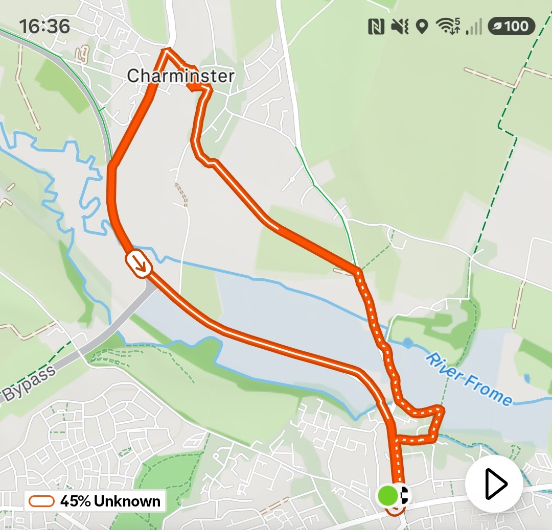
This one’s been on the TOL list since we scouted it in August. It ticks everything — river, fields, a proper village, a ford, a Roman town underneath your feet, and Thomas Hardy waiting at the end to see you home. It works as a walk, it works as a run, and it works even better as both at once, which is exactly the kind of route we’re after.
Start at Top O Town car park in the centre of Dorchester. It’s £1.80, or free after 6pm if the timing suits. Cross the road and you’re away.
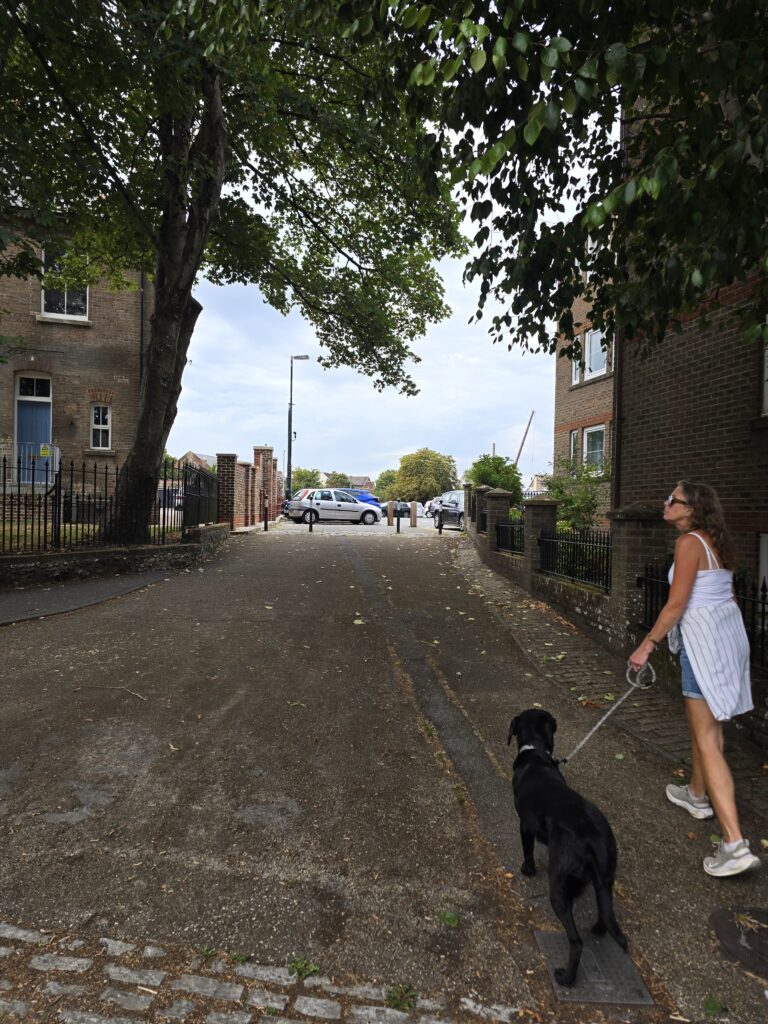
Top O Town Car Park, Dorchester DT1 1XJ — the start. Cross the road south and pick up The Walks.
The Walks
The tree-lined avenue south from the car park is one of those sections that sets the right tone immediately. The Walks runs along the line of the old Roman town walls — Dorchester has been a town since the first century, and this path has had people on it, in various forms, ever since. There’s a Roman Town House visible just off the route to the left: the excavated footprint of a townhouse, free to visit, genuinely worth ten minutes if the group is interested. Otherwise just run.
The path drops toward the watermeadows and the first sight of water.
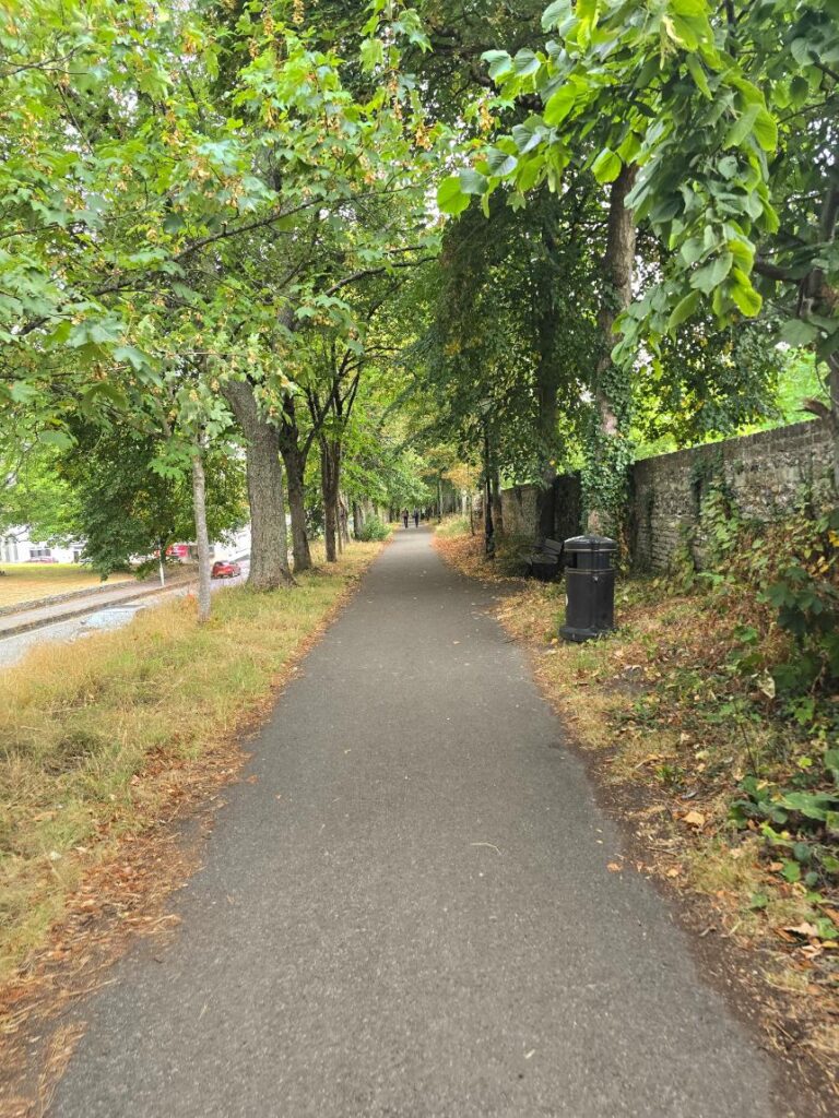
The Walks avenue heading south — Roman Town House optional detour to the left.
River Frome
The watermeadows open out properly here and there’s suddenly a lot more sky. This is where Dorchester shows you what it’s sitting next to — the Frome runs clean and quiet and the fields on either side are the kind of flat, green, enormous Dorset that you can’t quite believe exists this close to the town centre.
Past a beautifully thatched cottage — properly thatched, properly Dorset — there’s a crossing point and then a bridge left toward Charminster. Take the bridge.
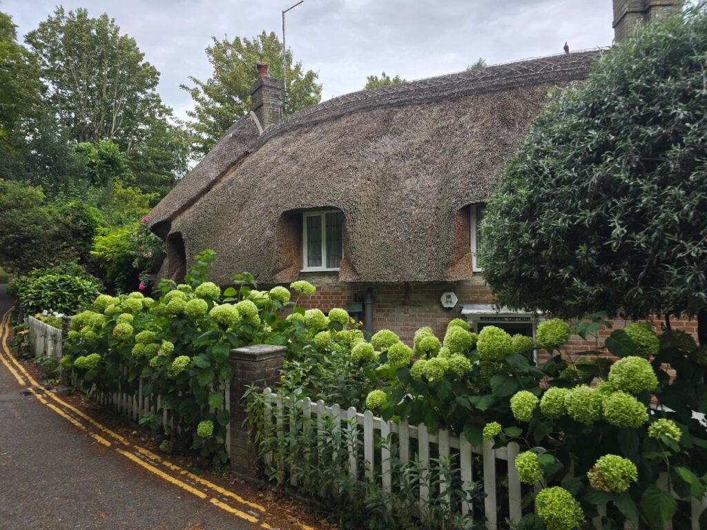
The thatched cottage just before the river crossing. One of those moments.
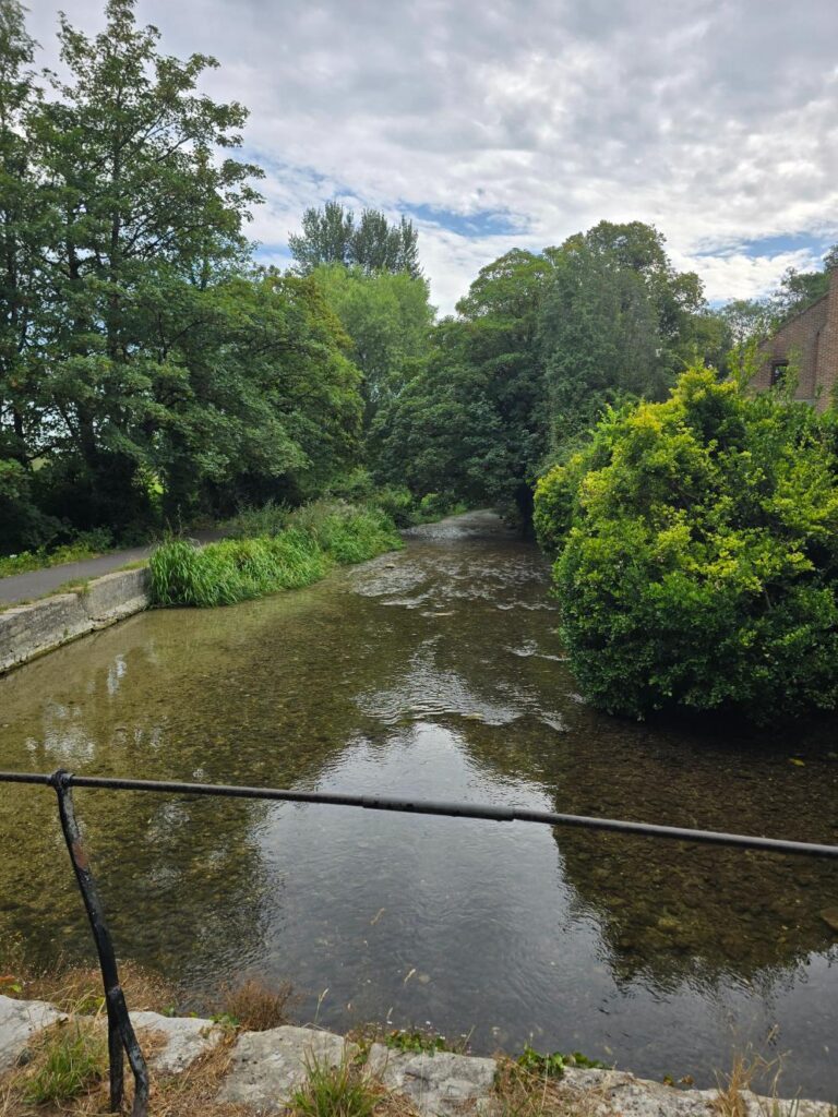
The River Frome watermeadows — first open stretch. The run levels off completely here.
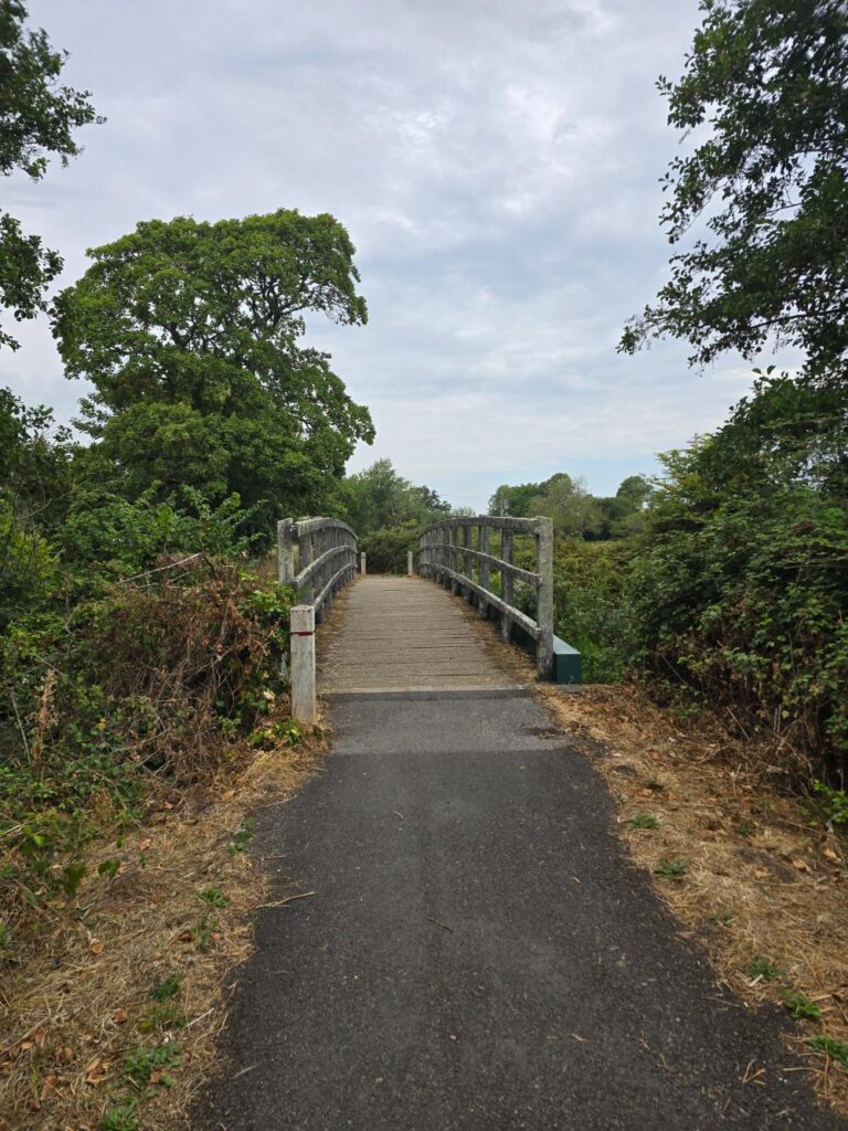
The bridge toward Charminster — left turn here.
A note on the Sun Inn
You’ll pass the junction for the Sun Inn on the way through. File it. The Sun Inn does, by widespread local consensus, the finest carvery in the area. It’s worth knowing exists if you’re planning a post-route Sunday with a group. Worth a detour on another day. Not today — we’ve got a village to get to.
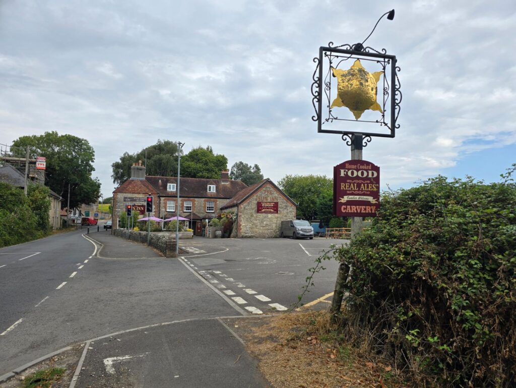
The Sun Inn – Family fully tested and approved as the BEST carvery around.
Cornfields and Sheep Fields
The middle section of the route is the best running of the whole thing. The signed footpath takes you through cornfields first — the path cuts a thin line through and the field walls you in briefly, which is the good kind of tunnel running — then opens into sheep fields with the full horizon. The path is well-signed throughout. Just follow it.
This is the headphones-off section. There’s a lot to look at and you’ll want to be able to say so.
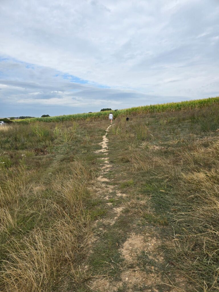
The cornfield path — signed throughout, follow the markers.
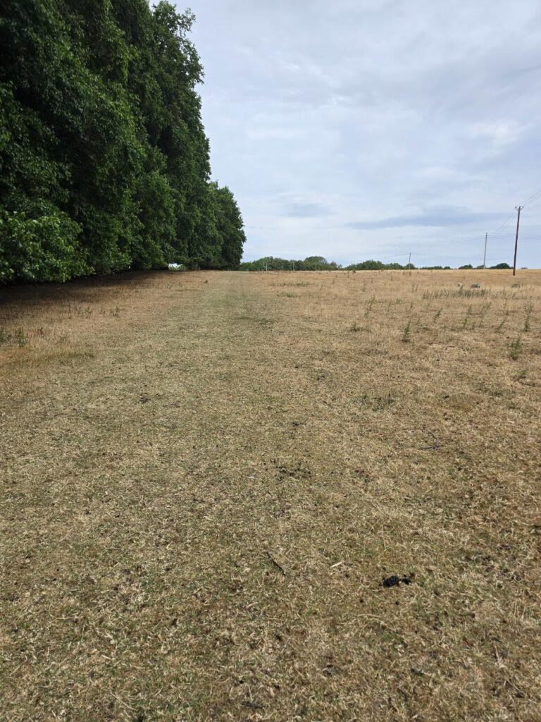
Sheep fields toward Charminster. The horizon opens up.
Charminster
The path delivers you into the village through a field gate, and Charminster rewards the approach. Turn left and you’re into the churchyard of St Mary’s — Norman church, proper old, the tower dating to the twelfth century. Walk through the churchyard rather than around it. It’s worth it.
Then the River Cerne arrives, and this is the moment the route is really about. The ford at Charminster has a stone bottom, clear water, and the church tower visible above the treeline in the distance. It’s one of those compositions that assembles itself without any effort from you. Stop here. Take the photo. The group will thank you.
There’s a coffee or a pint available in the village if you want a proper stop — a natural halfway point for a walk, or a turnaround refuel if you’re running back.
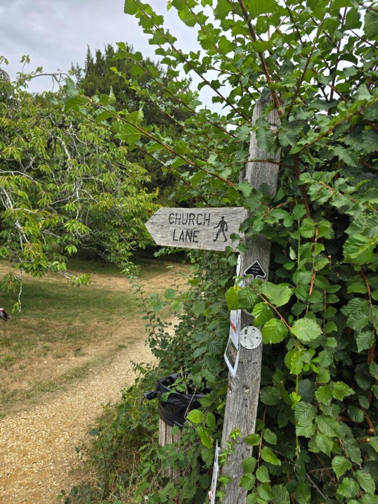
St Mary’s Church Charminster — through the churchyard, not around it.
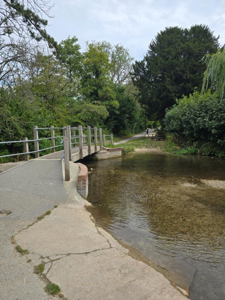
The River Cerne ford — the best moment on the route. Worth stopping for.
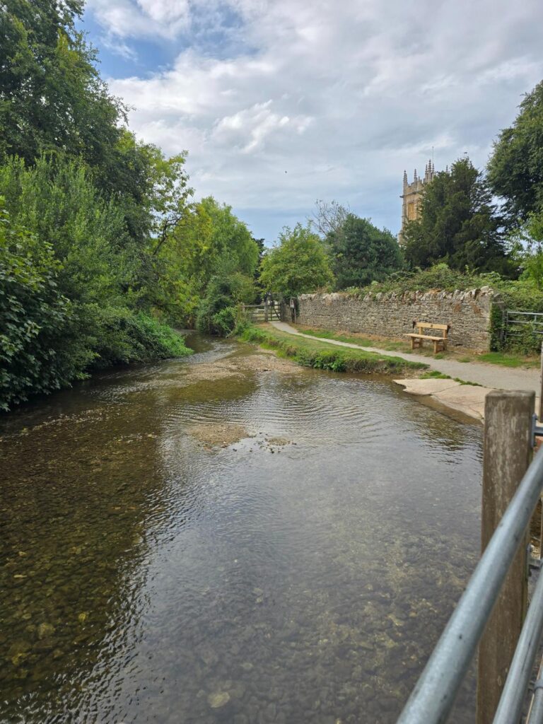
River Cerne from the footbridge — St Mary’s tower behind.
The Orchard Gate and the Return
Spotted on the way out of the village: the iron gate of Miller’s Community Orchard, half-hidden in a hedgerow. There’s also a Cerne Valley Trail signing nearby — a route that leads to Evershot. Noted for a future day with more miles in the legs.
The return is honest: the A352 main road back into Dorchester. Wide verges, good views, open enough for the group to spread out and talk. The Charminster Jubilee stone is on the way back. So is a remarkable white octagonal tollhouse — genuinely worth slowing down for — and a Wolfeton House heritage sign pointing toward a manor house you can only glimpse through the trees. Then the Welcome to Dorchester sign: twinned with Bayeux, Lübbecke, and Holbæk. Dorchester has always punched above its weight.
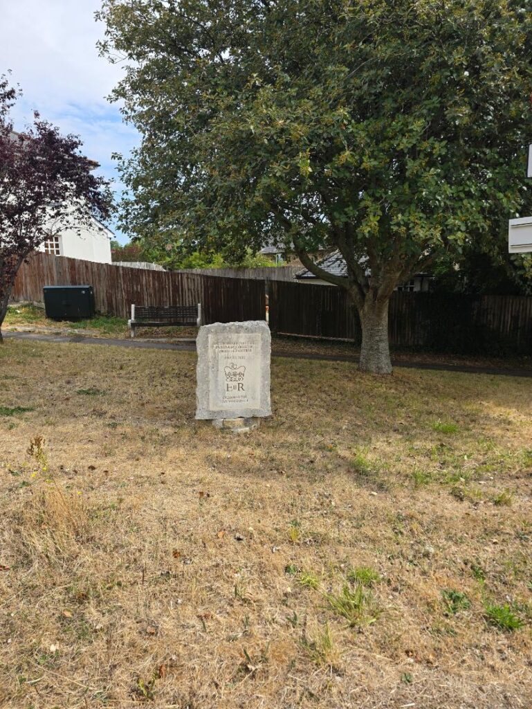
The Charminster Jubilee EIIR stone.
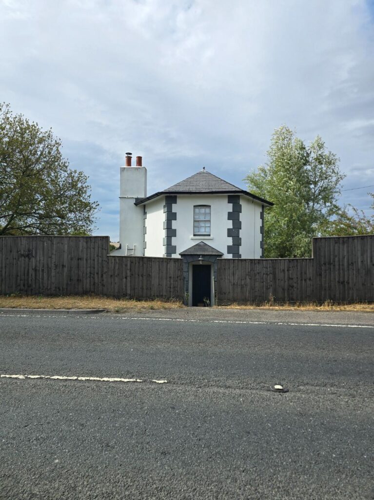
The octagonal tollhouse on the A352 — note it as you pass.
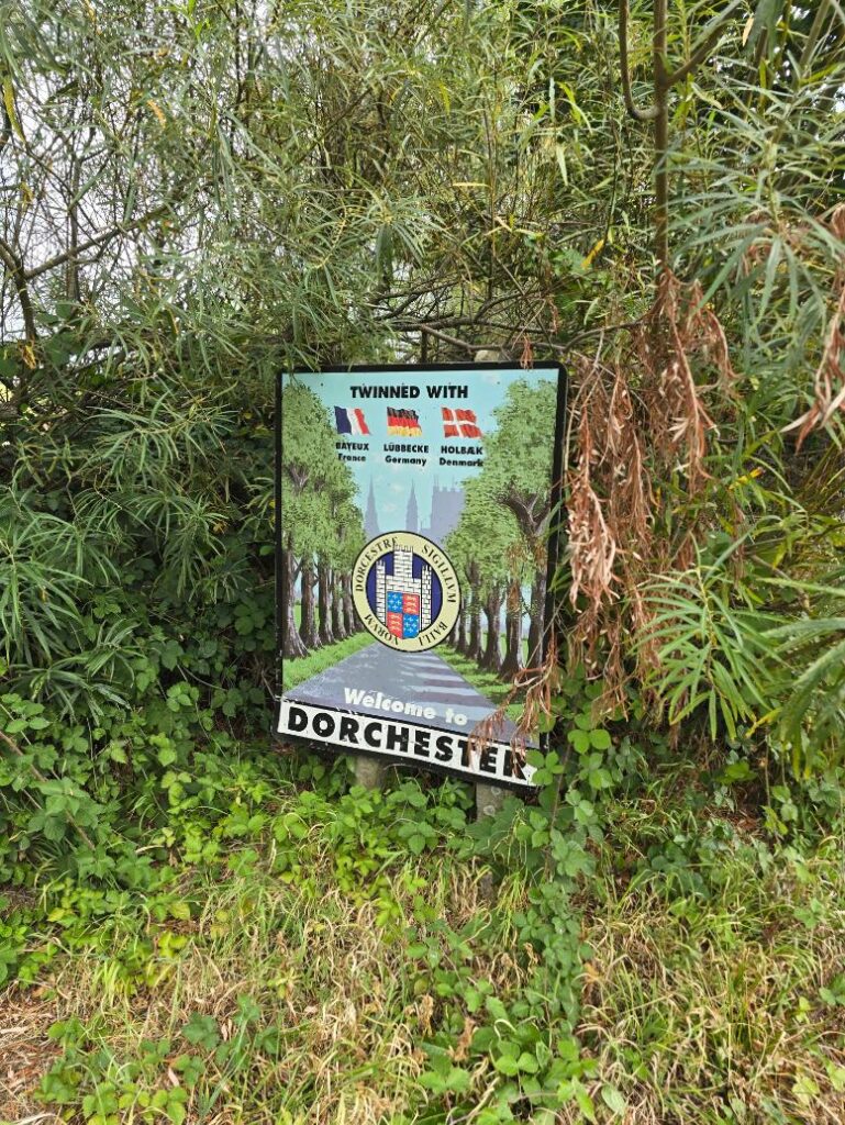
Welcome to Dorchester — twinned with Bayeux.
Back into Town
The town boundary brings the rampart bank alongside the road — the earthwork line of the Roman walls, still there, still marking the edge of something that’s been here for two thousand years. Then it’s up through the town to Thomas Hardy, 1840–1928, sitting in bronze at the top of High West Street. We always stop. It seems right.
Short cut through the cobbled alley back up to Top O Town and the car park.
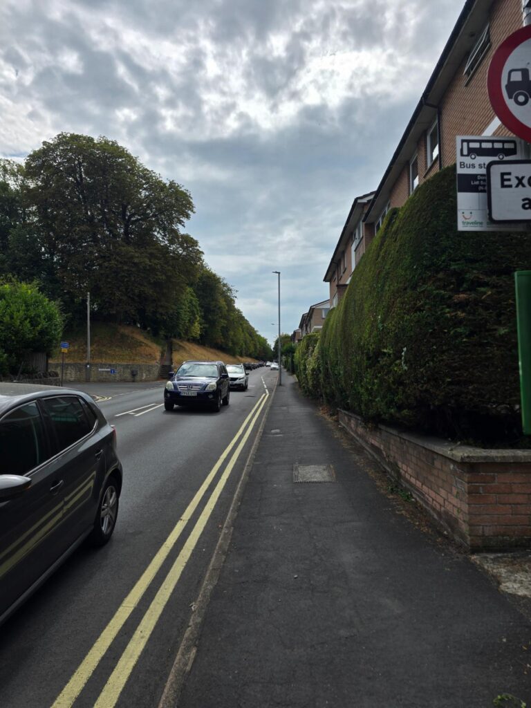
Dorchester’s rampart bank — the Roman town wall line, walking in beside you.
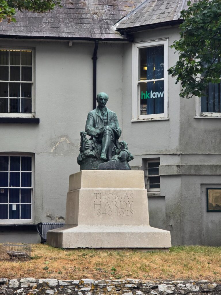
Thomas Hardy, High West Street — last landmark before the car park.
The cobbled alley back to Top O Town — nearly done.
Practical
- Start / end: Top O Town Car Park, Dorchester DT1 1XJ
- Parking: £1.80 (free after 6pm)
- Terrain: Mixed — pavement, gravel path, grass field, short road section on return
- Surface: Mostly good underfoot; field gates throughout, signed footpath all the way to Charminster
- The ford at Charminster: passable in trail shoes; wellies optional depending on season
- The Sun Inn: best carvery in the area. Worth the return visit.
- Cerne Valley Trail spotted at Charminster: future route toward Evershot — watch this space