
It was billed as a recovery walk. Plenty of miles in the legs from the week, water retention to flush, the kind of day where you just need to move without any agenda. We paid £1.80 at Top O Town car park — you can park for nothing after 6pm if the timing works for you — and crossed the road into Dorchester with no particular plan beyond following our feet and letting Nellie lead wherever the smell took her.
Turns out that’s a perfectly reasonable approach to route planning. Dorchester rewards it.
Top O Town car park — the starting point. £1.80 well spent, or free after 6pm if you time it right.
The Walks
The first section sets the tone immediately and sets it well. Cross the road from the car park, pick up the tree-lined avenue of The Walks, and Dorchester’s Roman bones start making themselves felt underfoot. There’s a Roman Town House accessible just off the route here — the footprint of a townhouse excavated and preserved, free to visit, the kind of thing you walk past ten times before you actually stop. We didn’t stop today. Recovery walk. But it’s on the list.
The path drops south through the trees, light coming through in that late-summer way where everything looks better than it probably is. Nellie had opinions about every tree. We let her get on with it.
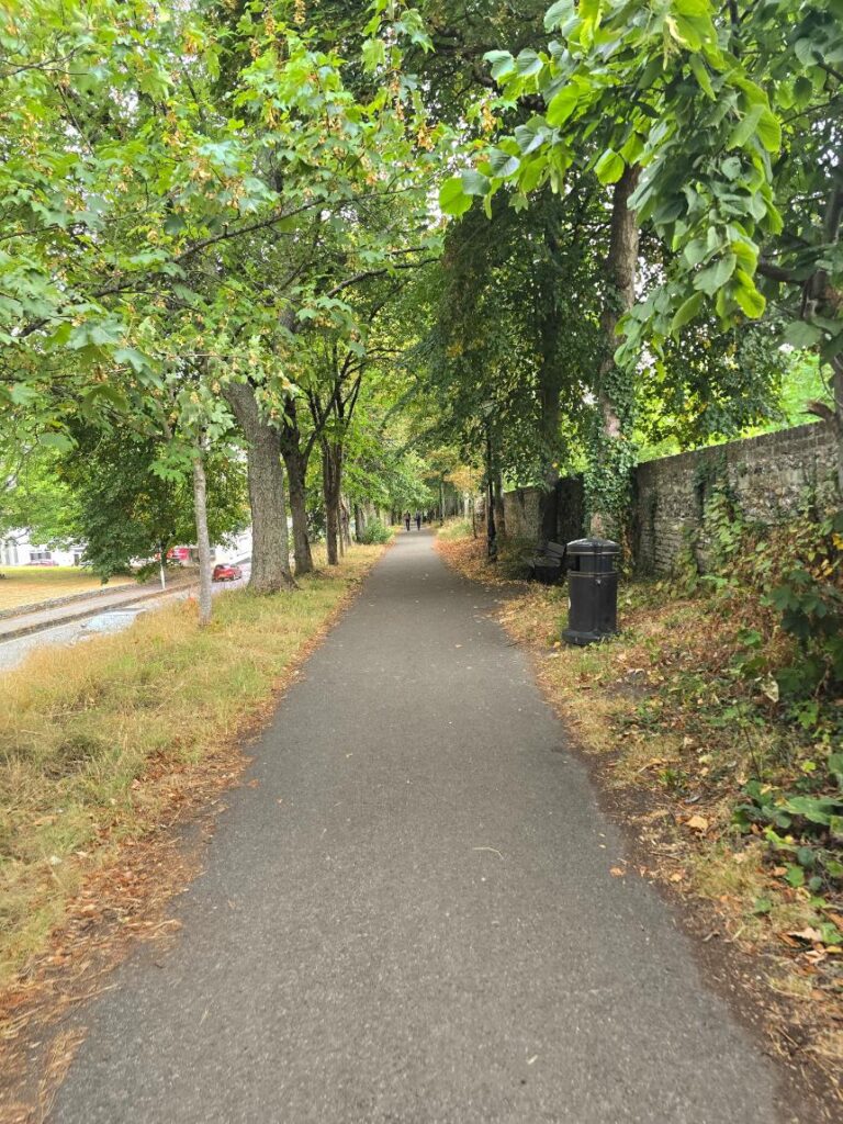
The Walks — the tree-lined avenue south from Top O Town. The Roman Town House is just off the path to the left.
Down to the River Frome
The Frome comes at you quietly, which is how rivers in this part of Dorset tend to work. The watermeadows open out and suddenly there’s a lot more sky. The path follows the river’s edge and it’s the kind of walking that doesn’t require any concentration — you just go.
Just past a beautiful thatched cottage (properly thatched, properly Dorset, the kind that makes tourists stop for photos and locals walk past without blinking) there’s a crossing point that feels like a reward for getting this far. The river runs clear here and shallow enough that Nellie registered it as an invitation.
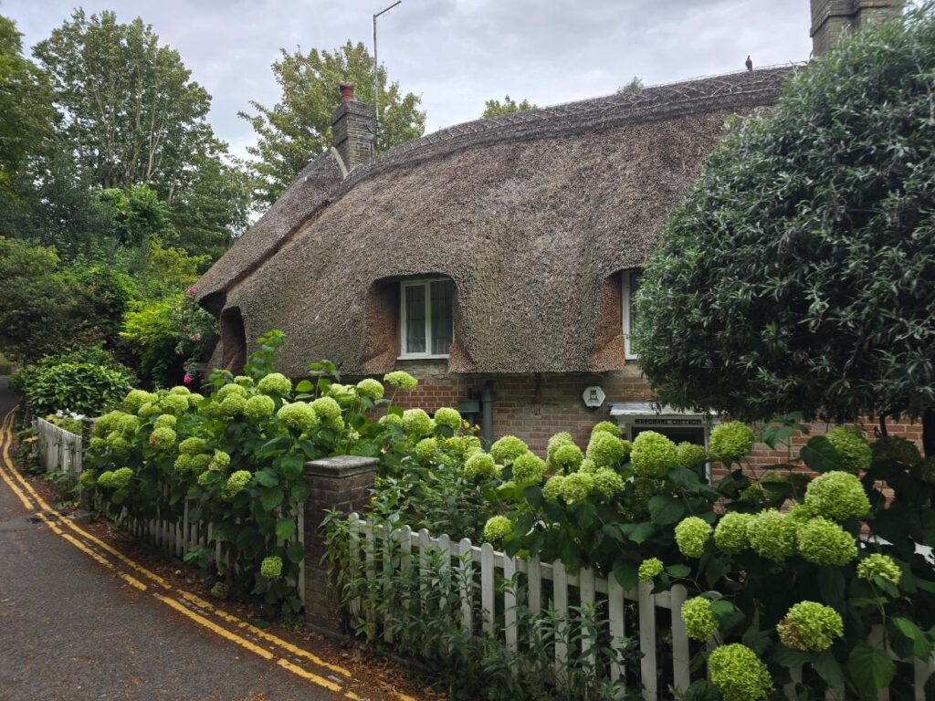
The thatched cottage — just before the river crossing. Exactly what you’d hope to find.
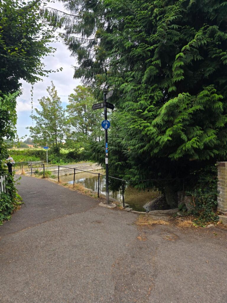
The River Frome watermeadows — first sight of water, and Nellie is already calculating.
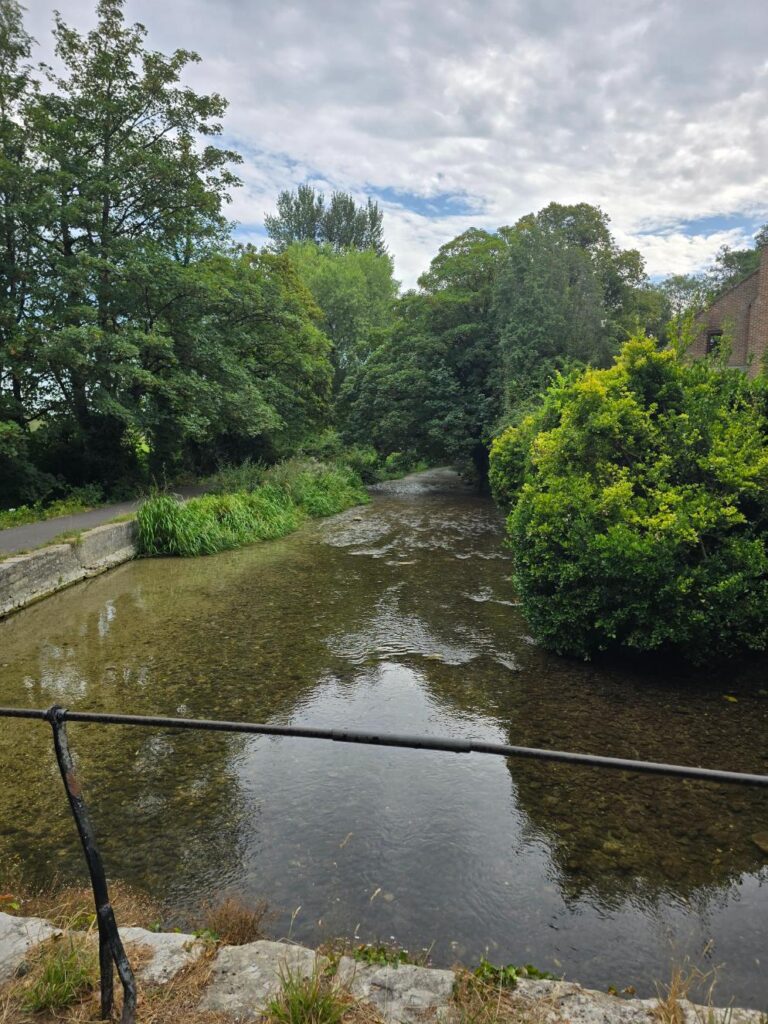
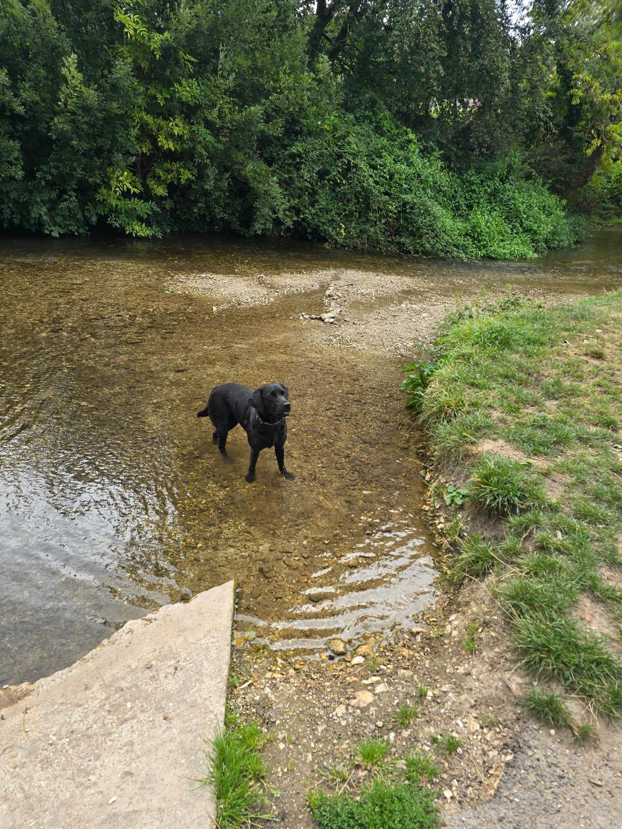
The crossing point on the Frome. The water was cold. Nellie went in anyway.
Bridge to Charminster
At the junction, we took the left turn over the bridge toward Charminster rather than the right toward the Sun Inn. The Sun Inn does, for the record, what we believe to be the finest carvery in the county — a family Sunday staple, a non-negotiable, a place where the question is not whether to go but when. This was not the day, given the dog and the recovery-walk energy, but it’s worth knowing it exists. Point it out as you walk past. File it for future reference.
The path opens up here and the walking gets easy and pleasant in that way that makes you wonder why you don’t do this more often.
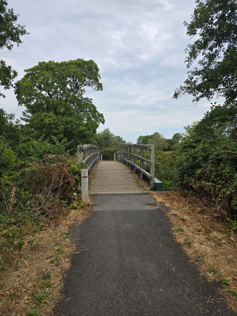
The bridge toward Charminster — left turn here. The Sun Inn is that way, for future reference.
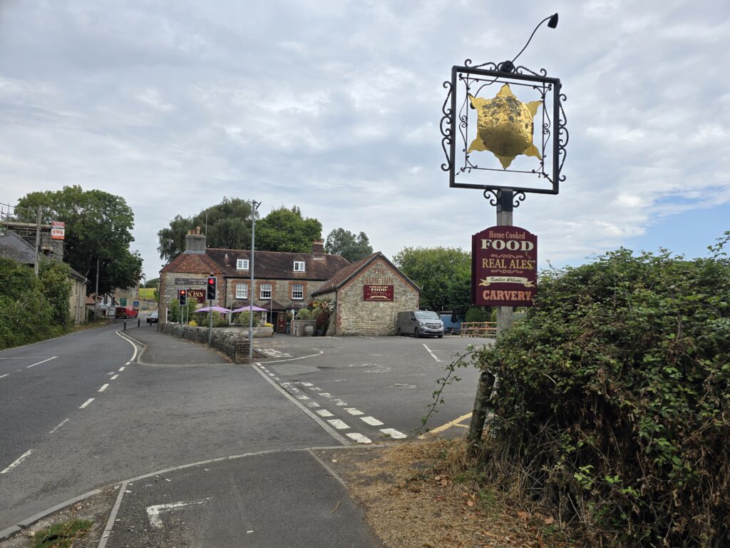
The Sun Inn, Charminster. The undoubted King of the Carvery – Family approved!
Cornfields and Sheep Fields
The middle section of the walk is the heart of it. The signed path takes you through cornfields first — proper ones, the kind where the path cuts a thin line through and you can’t quite see what’s on the other side — then opens into sheep fields with the horizon widening. Dorset doing what Dorset does.
You follow the signed footpath the whole way. It’s well-marked and the walking is straightforward. Nellie found several things of interest in the cornfield. We didn’t investigate.
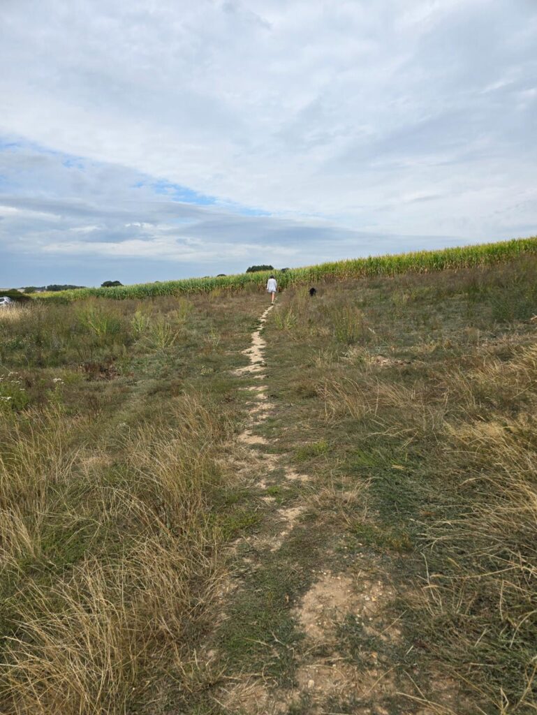
The cornfield path — follow the signs. The field swallows you briefly and spits you out the other side.
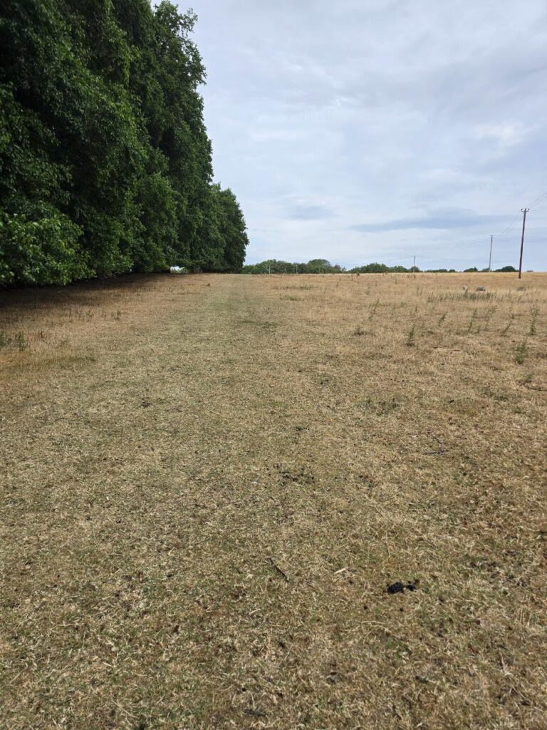
Sheep fields toward Charminster. The path is signed all the way.
Charminster
The path delivers you into Charminster through a kissing gate at the field’s edge, and the village earns its approach. Turn left and you’re into the churchyard of St Mary’s — a proper Norman church, properly old, the tower rising over a graveyard that has the ordered quiet of somewhere that’s been quietly doing its job for eight hundred years. We walked through rather than around. Worth it.
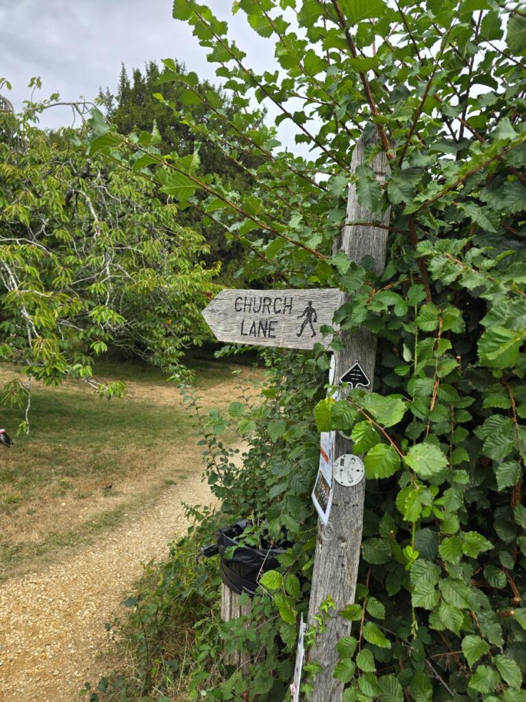
St Mary’s Church, Charminster — through the churchyard, not around it.
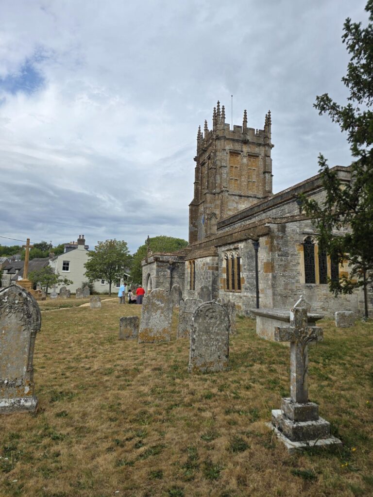
The graveyard at St Mary’s. It earns a pause.
River Cerne
Then the River Cerne makes its appearance, and this is where the walk gives you its best moment. The river at Charminster has a ford — proper stone bottom, clear water, dappled light, the church tower visible above the treeline in the distance. The composition assembles itself without any effort from you. Nellie had already committed to the ford before we’d had a chance to form an opinion on it. She stood there in the current looking very pleased with herself.
There’s a coffee or a pint available in the village if the timing and the energy are right — a possibility rather than a requirement, but worth knowing. We clocked the village, noted the options, carried on.
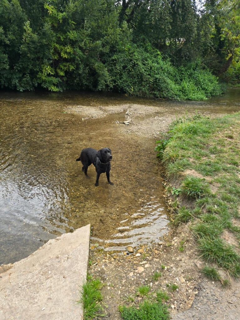
Nellie in the ford at Charminster — absolutely certain this was the correct decision.
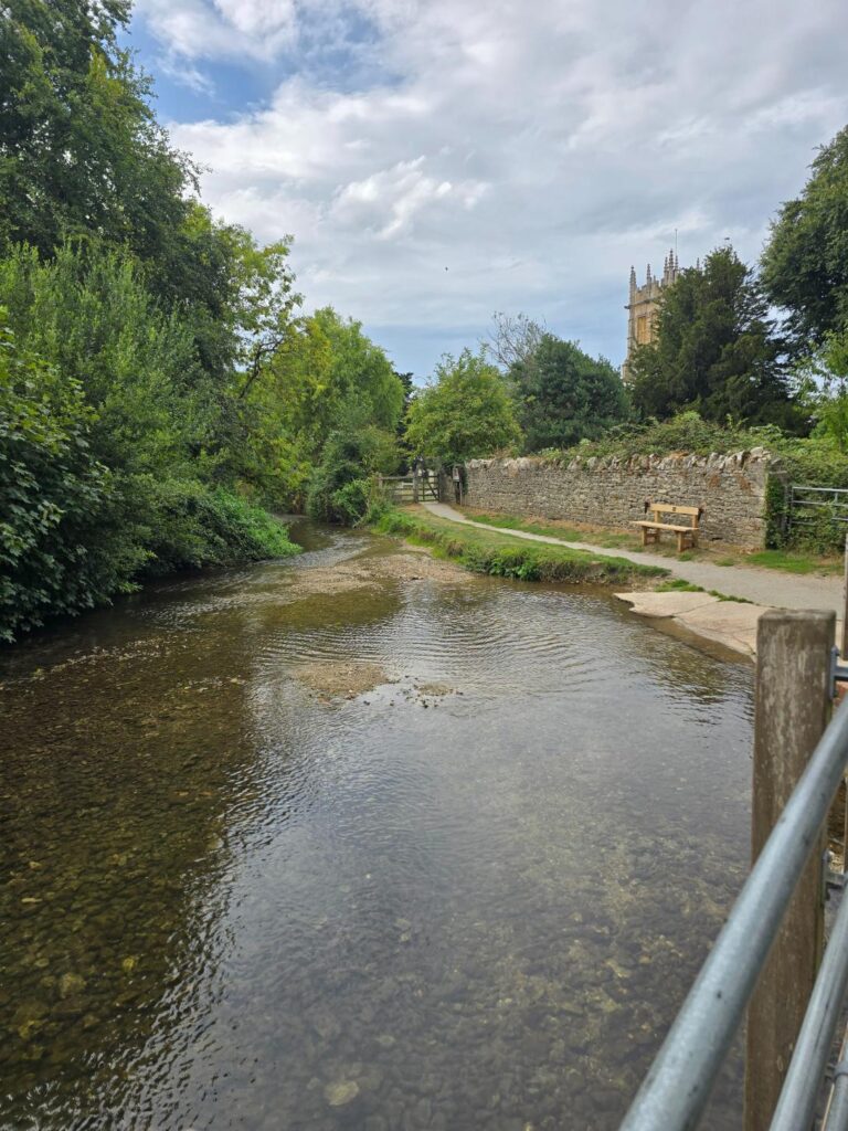
The River Cerne from the footbridge — St Mary’s tower in the distance. Take your time here.
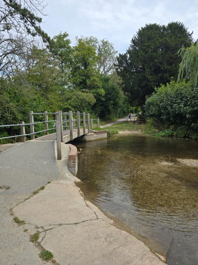
The ford from above — looking back.
The Orchard Gate
Spotted on the way out of the village: the iron gate of Miller’s Community Orchard, half-hidden in a hedgerow. A handsome thing — old wrought iron, proper proportions, the kind of gate that implies the orchard behind it is worth the detour. We noted the Cerne Valley Trail signing nearby — a route that apparently leads to Evershot. Filed for a future day with different legs and more time.
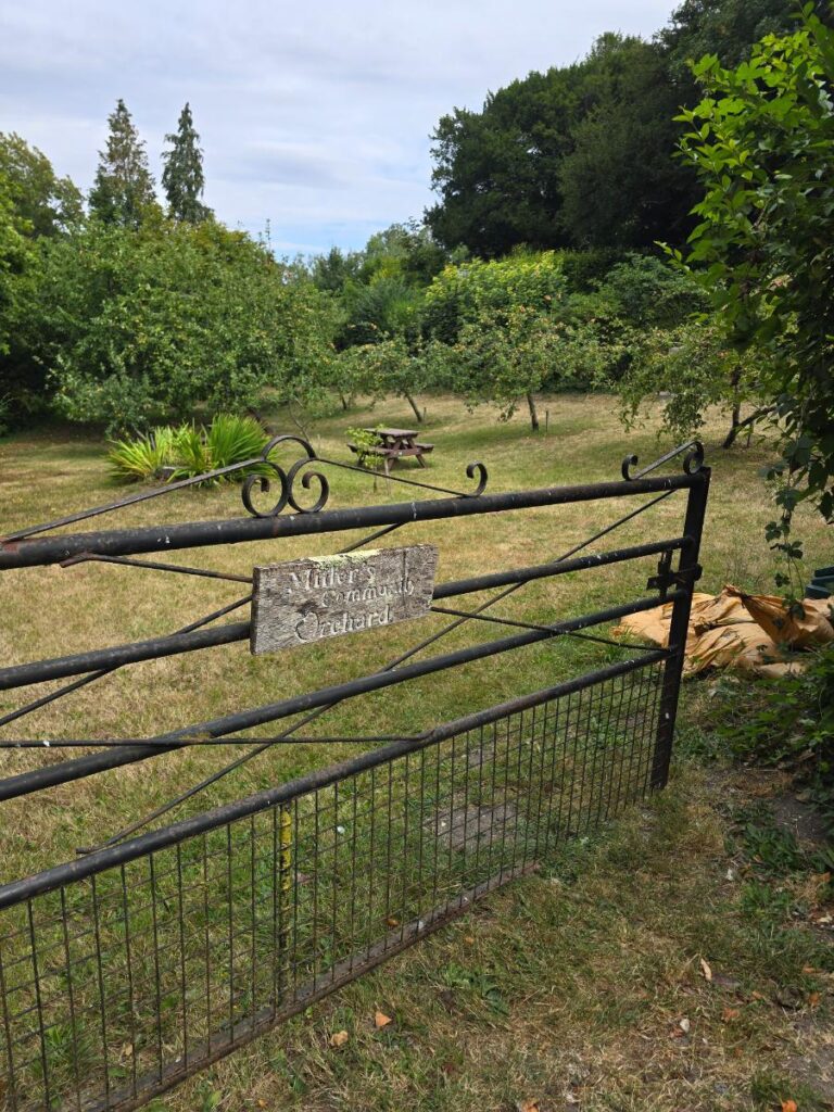
Miller’s Community Orchard — the gate worth noting.
Back to Dorchester
The return leg is straightforward and honest: the A352, the main road back into town. We chose it deliberately. The route toward Charlton Down would have been longer and, with the dog and the recovery brief, today was not that day. The A352 road walk is open and fast and gives you room to talk — proper head-clearing road, wide verges, the kind of return leg that lets the earlier miles settle.
There are things to notice on the way back. The Charminster Jubilee stone. The white octagonal tollhouse on the A352 — genuinely distinctive, the kind of building that makes you slow down slightly. A Wolfeton House heritage sign pointing to a manor house you can only see in parts from the road, which makes it more intriguing rather than less.
And then, right at the edge of town: the Welcome to Dorchester sign. Twinned with Bayeux, Lübbecke, and Holbæk. Dorchester has always slightly punched above its weight. The sign makes you feel it.
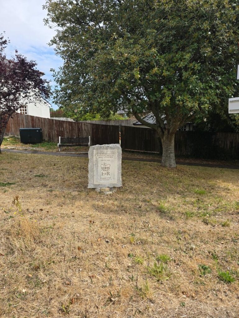
The Charminster Jubilee EIIR stone.
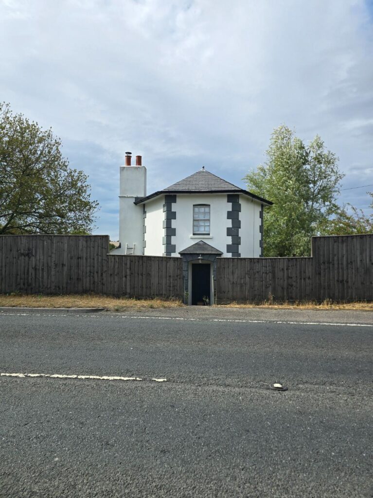
The octagonal tollhouse on the A352 — slow down slightly as you pass.
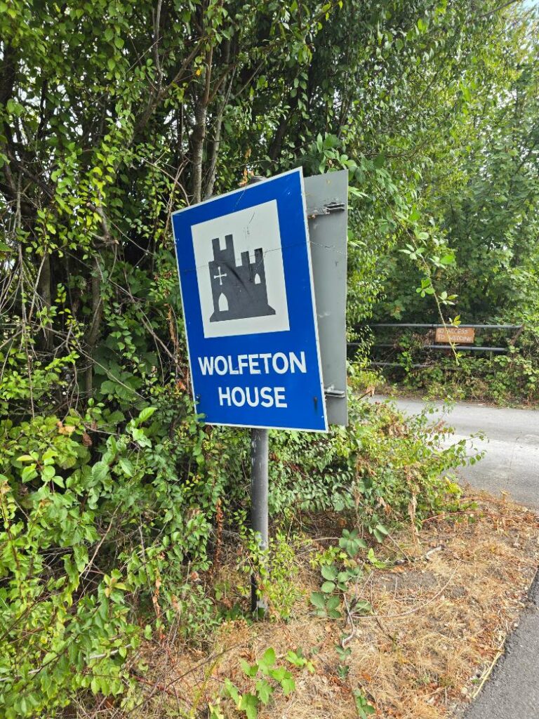
Wolfeton House — manor house, heritage sign, barely visible from the road.
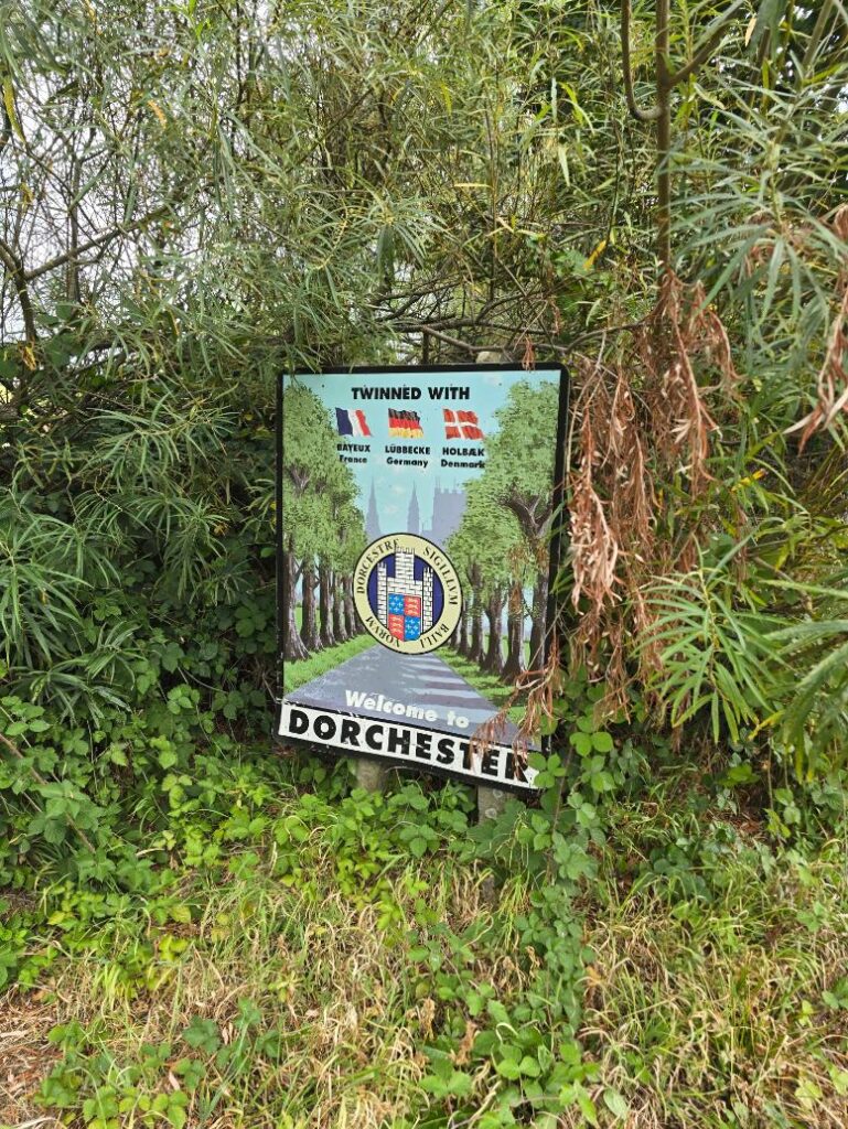
Welcome to Dorchester — twinned with Bayeux, Lübbecke, and Holbæk. Makes sense.
The Town
Back inside the town boundary, the rampart bank walks alongside the road — the earthwork that marks the line of the Roman town walls, still there, still functioning as the edge of something. Dorchester sits on top of its history and doesn’t bother making a fuss about it. The Hardy statue waits at the top of the town — Thomas Hardy, 1840–1928, sitting in bronze on a plinth at the top of High West Street, looking back toward the town he mapped in fiction and walked in fact. We stopped. It seemed right.
Then it was a short walk back through the cobbled alley that cuts from the town centre up to Top O Town, and the car park, and the end.
Four and a half miles. Not fast. Didn’t need to be.
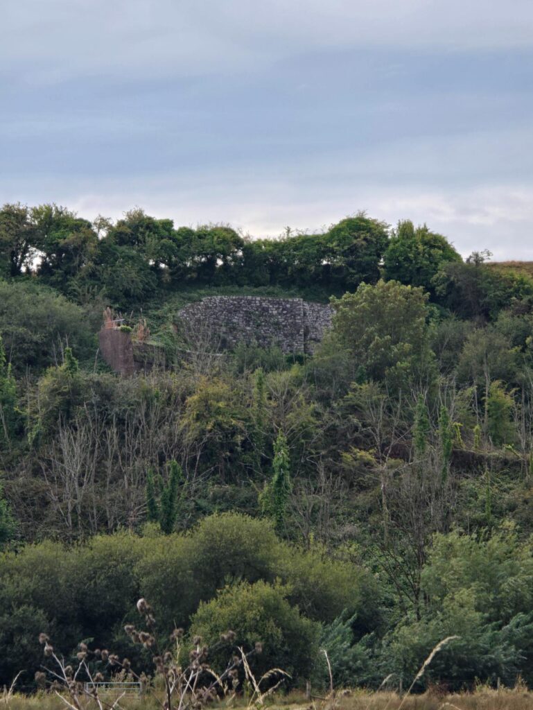
Dorchester’s rampart bank — the line of the Roman town walls, still there.
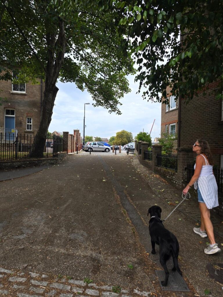
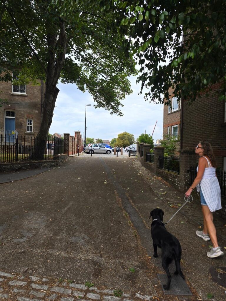
The cobbled alley back up to Top O Town — Nellie and Sarah, nearly done.
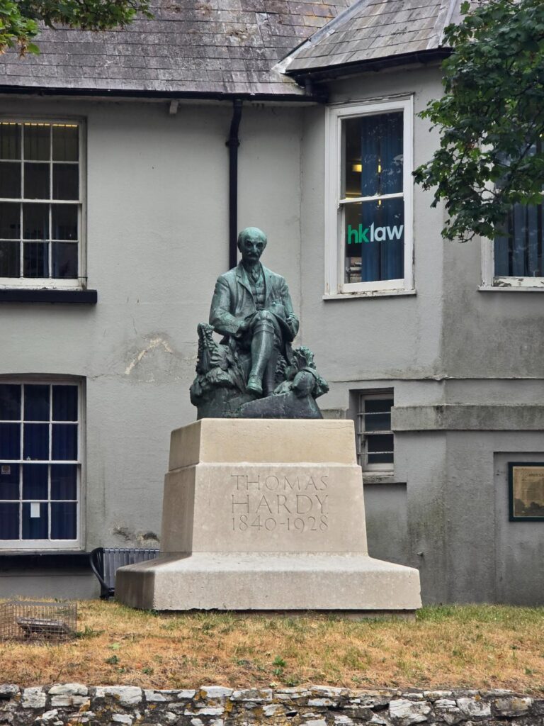
Thomas Hardy, 1840–1928 — at the top of High West Street. We always stop.
Practical
- Start / end: Top O Town Car Park, Dorchester DT1 1XJ
- Parking: £1.80 (free after 6pm)
- The Sun Inn, Charminster: BTDT. The best carvery around. Family-tested, family-approved. Dog-check the policy before you go.
- The ford at Charminster: passable for boots; Nellie recommends it regardless of footwear
- Cerne Valley Trail spotted: signed at Charminster, leads to Evershot. Future project.