
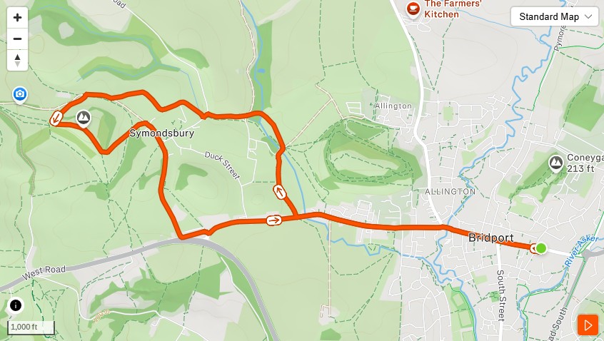
This is the first of what will become a small library of TOL routes. It hasn’t been run as a group yet. The waypoints have been walked, the paths have been tested, the hill has been climbed — and the view from the top is exactly what you’d hope for from a Friday morning out of Bridport. The route guide is ready. The group is nearly there.
When Thinking Out Loud Runners does start going out on this one, it’ll begin at East Street Car Park and finish more or less where it started — with Colmers Hill in the middle, and Symondsbury on the way back. Around 7.5 kilometres. Not flat, but not cruel either.
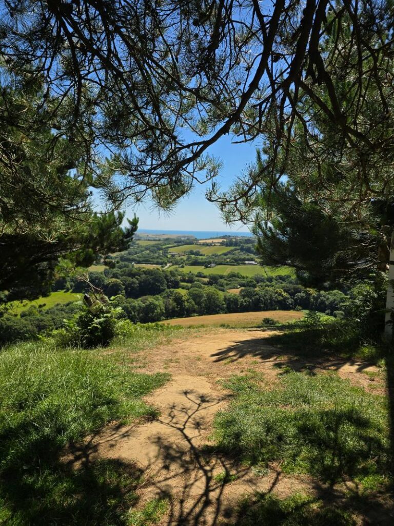
Sea and coast framed through the Scots pines at the summit of Colmers Hill. This is where the route goes.
What the route does
Out of East Street, through town and west along West Street, past the medical centre and into the lanes. The route follows public footpaths into the Symondsbury Estate — past the sheep dip, up toward the Tithe Barn — and then picks up the path to the base of Colmers Hill.
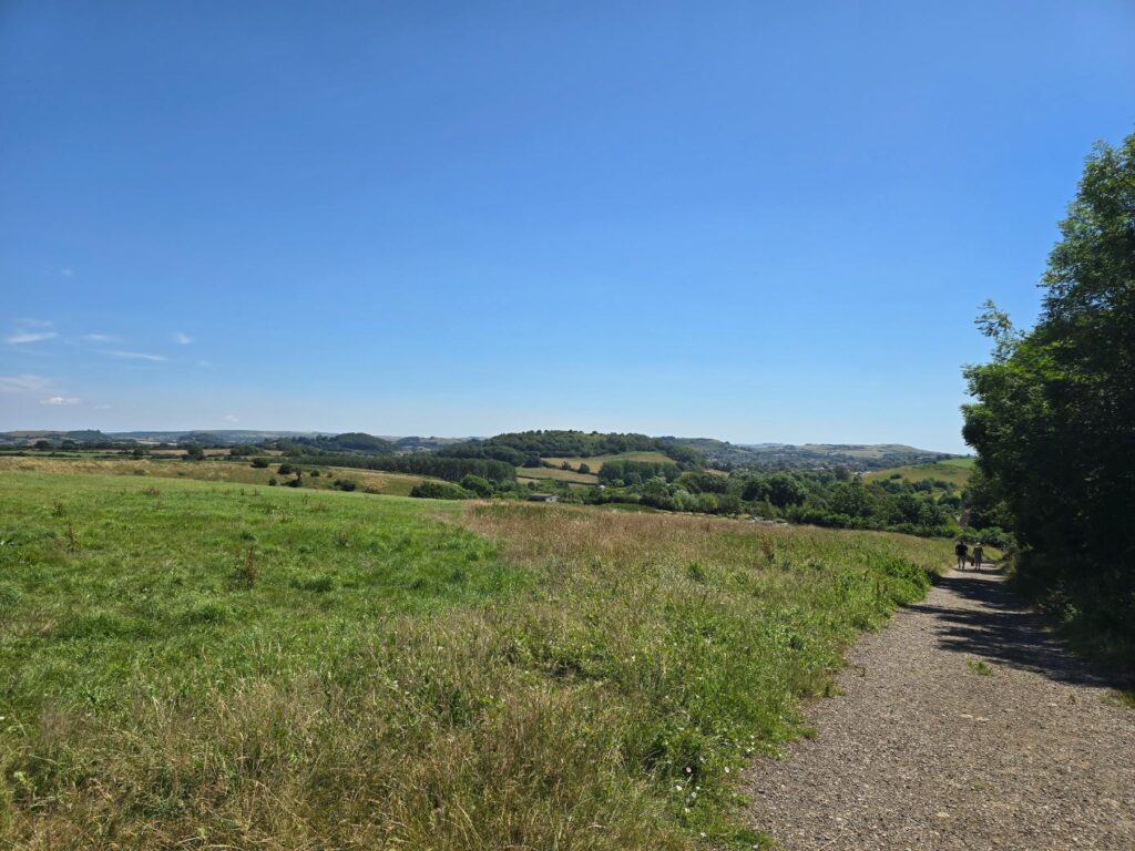
The estate track opening out, the hills rolling away in every direction.
The climb to the summit is the point of the whole thing. The hill is steep enough to earn the view and short enough not to be a problem. The Scots pines at the top are one of the most recognisable shapes on the Dorset skyline — from up here you understand why.
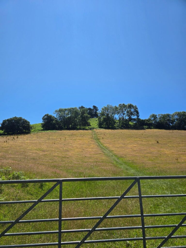
The approach gate, the path heading straight up toward the tree line. Colmers Hill directly ahead.
Nobody is expected to run the final climb. Walking it is the right call for most people on most days. Everyone regroups at the top, takes in the panorama — Bridport below, West Bay, the coast, the Channel — and then comes back down the other side into Symondsbury at whatever pace suits.
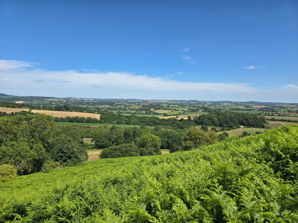
The inland view from the climb — Dorset fields in every shade of July gold and green.
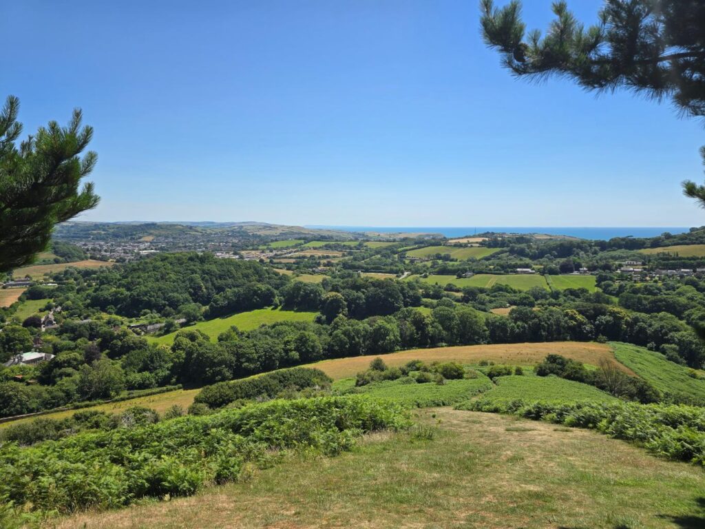
Bridport and the coast below, the sea on the horizon.
The descent into Symondsbury is gentle. The village has a pub. These two facts are not unrelated.
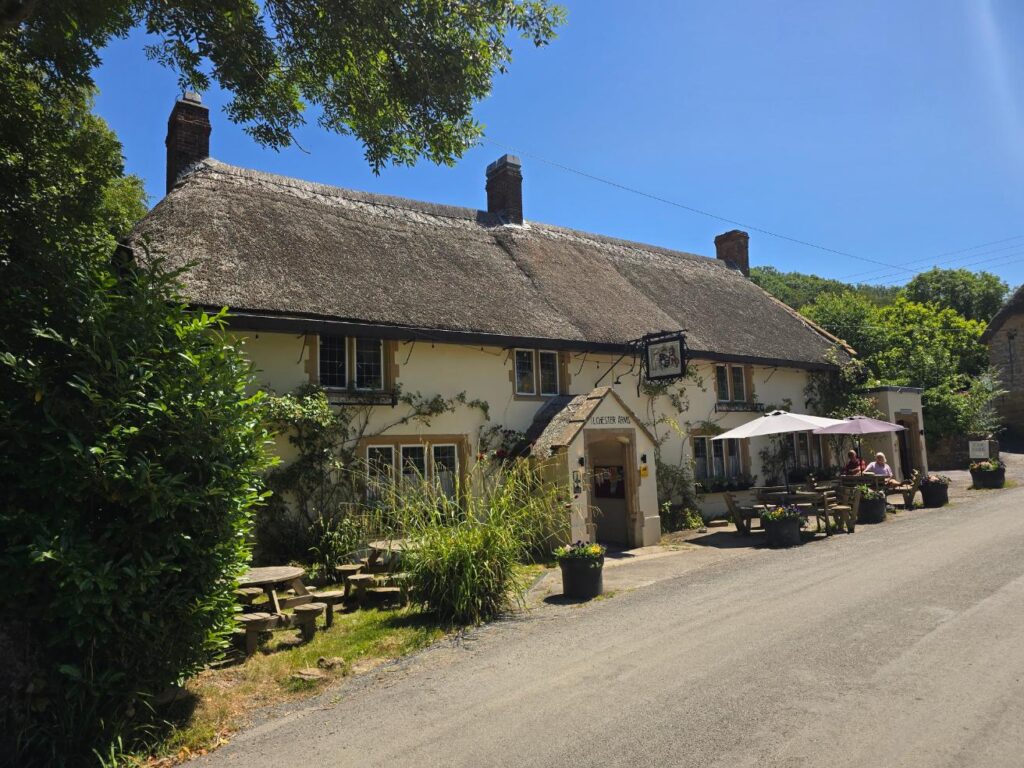
The Ilchester Arms, Symondsbury. Thatched, sunny, the tables outside doing what tables outside are for.
Back out of the village, and the route returns along the main road into town — on occasion we will go behind the medical centre, and through Plottingham playing fields and into town that way.
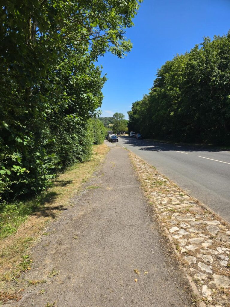
And the gradual downhill we can embrace back into the centre of town.
The route guide
The full route — with waypoints, the map, and everything you need to follow it without a wrong turn — is in the PDF below. Print it, save it, or just look at it on your phone at the sheep dip.
→ Download the Potential TOL Route A guide
This is a sample route. The final version may be adjusted once the group has run it together and decided what works. That’s how TOL routes get made.
What TOL looks like on a run
Headphones off. Everyone moves at the pace of the person who needs it most. The conversation is the point — the route is just the excuse to have it. Nobody gets dropped, nobody finishes alone, everyone regroups at the top of Colmers.
If that sounds like your kind of morning, the details are in the route guide.
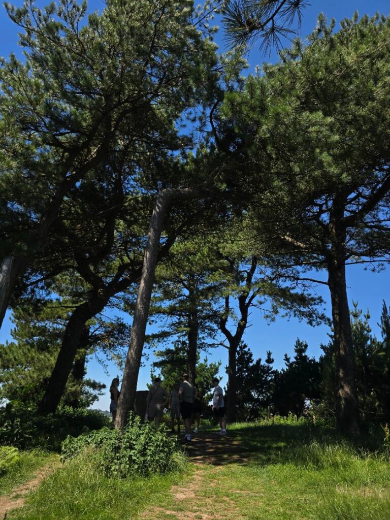
The summit pines, close. Colmers Hill, 3 July 2026.