
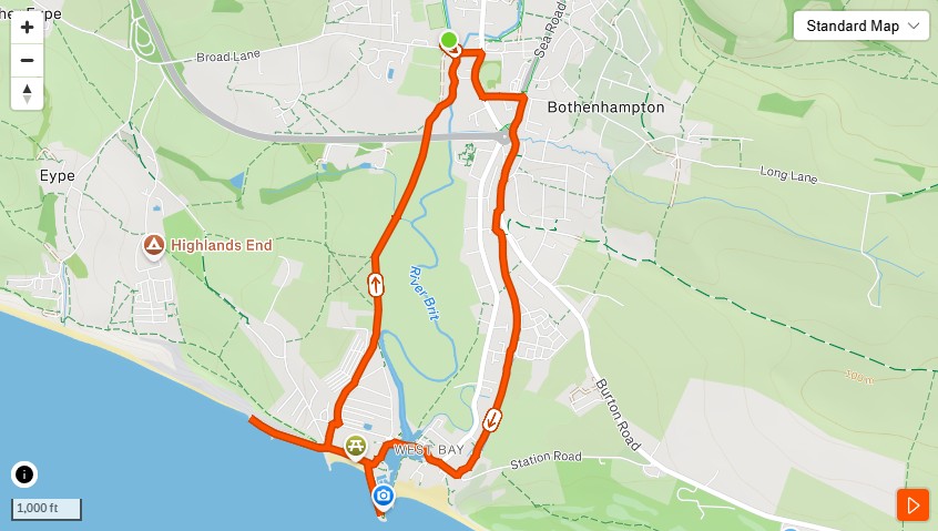
There’s a version of this run you do on your own with something in your ears and you finish it feeling fine. Loosened up. Ticked off. That’s not this. This is the one you save for when someone needs an hour.
When the thing that’s going on needs more than a text message or a coffee shop table. When the conversation has been circling for a week and what it actually requires is movement, open air, and nobody looking directly at each other.
West Bay does something to a conversation. We don’t fully understand it yet. But we keep coming back.
The Start
Bridport FC car park, Vearse Farm Road. It’s a car park. There’s nothing romantic about it. Depending on the day and what’s on, it may charge you a small fee. Pay it. The return on investment is considerable.
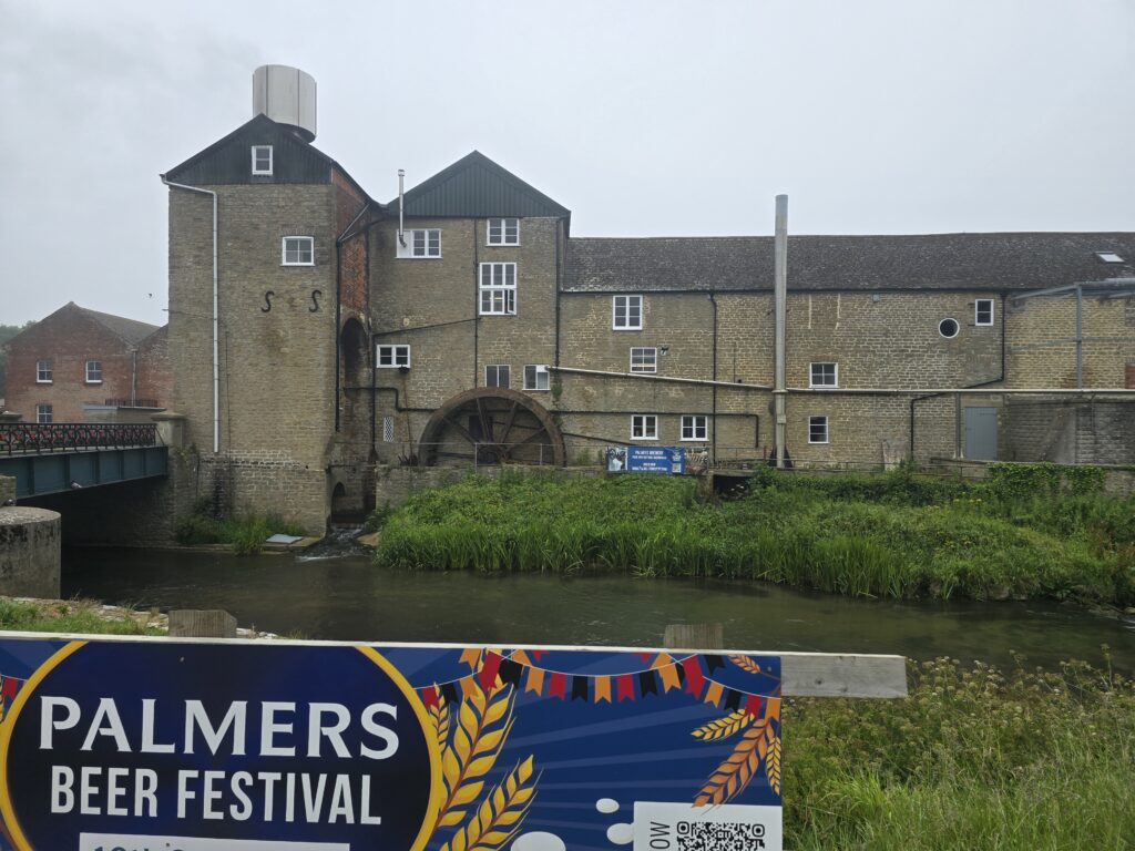
Head south. Within thirty seconds, Palmers Brewery appears across the river to your left — stone mill, the old waterwheel, the smell already doing something. You’ll be back here. Save it.
Down West Bay Road
Roughly a third of a mile of road running to reach the cycleway entrance. It’s fine. The pavement holds. The traffic is manageable. Use the time to establish the pace — this isn’t a training run, it’s a talking run, and they’re different things. Talking pace is whatever lets a sentence finish without gasping. Most people find it slower than they expect.
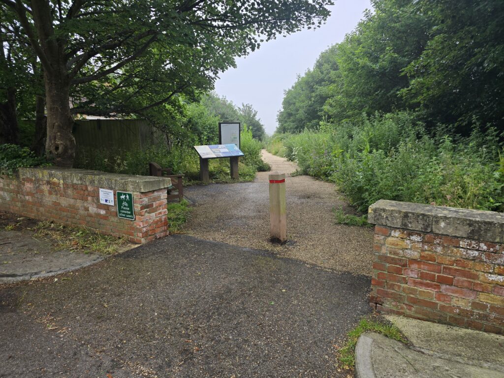
The cycleway entrance arrives on the left: brick gateposts, a wooden bollard, a pair of heritage boards. This is where the old railway bed begins, and where the run changes register.
The Old Line
The Bridport Branch opened on 31st March 1884. Opening day sold over five thousand tickets. When the train arrived at West Bay, the weather was so bad that passengers weren’t allowed off. They went straight back to Bridport. A free bun and orange apparently softened the blow.
The passenger service lasted until 1930. Freight continued until 1962. The rails came out in 1965 and what remained was exactly this: a mile of flat gravel, hedged on both sides, with the sea at the end. Cycle Route 2 runs through it now. The wooden bollards carry a little blue marker that probably nobody looks at twice.
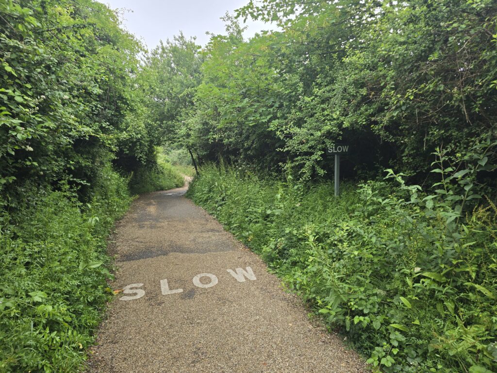
It’s a good mile. Straight, sheltered, gradually revealing itself. The conversation, if there’s one worth having, tends to find its level here. Something about a path that goes directly somewhere.
Platform
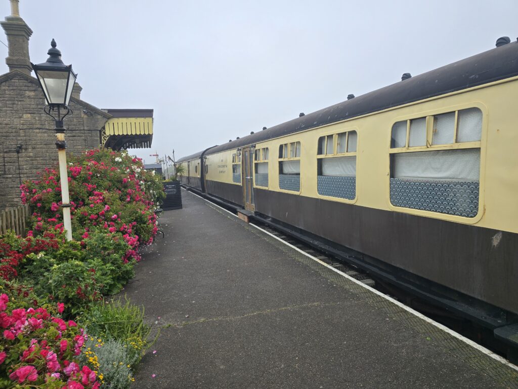
The cycleway ends and the old station opens up. The building on the right is the original West Bay station. The two carriages still sitting on the original trackbed are a restaurant — established 2015, proper food. There’s a sign near the entrance: You are entering a busy restaurant zone. On a mid-week morning it’s the most peaceful hundred metres on the route.
The platform is dressed with roses in summer. There’s a heritage gas lamp. The whole thing shouldn’t work and it entirely does.
If you’re stopping for coffee, stop here. If you’re not, give it a moment anyway. The heritage boards at the cycleway entrance told you this was coming, but the reality of it still lands.
The Harbour
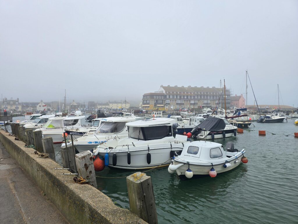
Cross West Bay Road and follow the inner harbour wall. This is a working fishing harbour — it smells like one, it sounds like one, there are boats that have clearly done things. The big art deco building at the back is the hotel. It appears in the background of every West Bay photograph ever taken, whether you want it to or not.
Keep running the harbour wall towards the mouth, where the River Brit meets the Channel. Wooden piles on both sides. The river runs sixty-odd miles from the Marshwood Vale before arriving here and doing this — just stopping, opening into the sea. On foggy mornings the cliffs to the east disappear completely. You know they’re there. You can hear them, almost.
Turn left along the East Pier.
The Shot
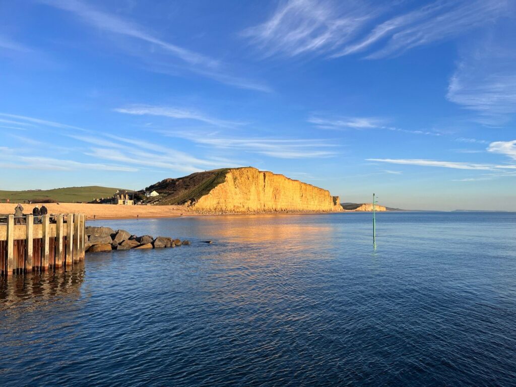
Walk to the end of the pier. This is mandatory.
The East Cliff is 185 million years old, Jurassic sandstone, and at either end of the day it goes gold in a way that seems slightly unfair on everywhere else. Broadchurch filmed here. Harbour Lights filmed here. Roughly everyone who has ever visited West Bay has photographed it from approximately this spot. It still works.
The rocks are best viewed from the pier because the cliffs are actively doing what cliffs do — the rockfall warning signs aren’t decorative. Take the picture. Take a breath. Then turn back.
The Promenade
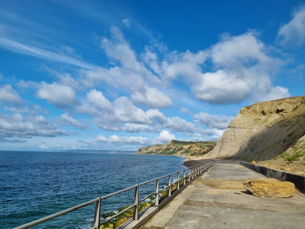
Along the promenade past Windy Corner Café — bookmarked for another time, genuinely earns its name when there’s any weather at all — and out along the seafront. Lyme Bay is full width from here. On clear days Lyme Regis sits on the far horizon, a smudge of white against the next set of cliffs. Fourteen miles as the crow flies. Further if you’re running.
There’s almost always a headwind on this stretch. Whatever conversation was in full flow will need to be raised a volume or two. That’s fine. The things worth saying can stand it.
Run to the end of the prom. Come back.
The Turn
Back north through the holiday park — public right of way through the caravans, signed. Follow it through and out the far gate into the fields.
Something shifts here. The second half of the route is a different kind of quiet to the first. The outbound leg is all narrowing — cycleway to harbour to pier, funnel-shaped, pointed at the sea. The return opens out. Fields. Sky. A horizon that isn’t water.
Jurassic Fields
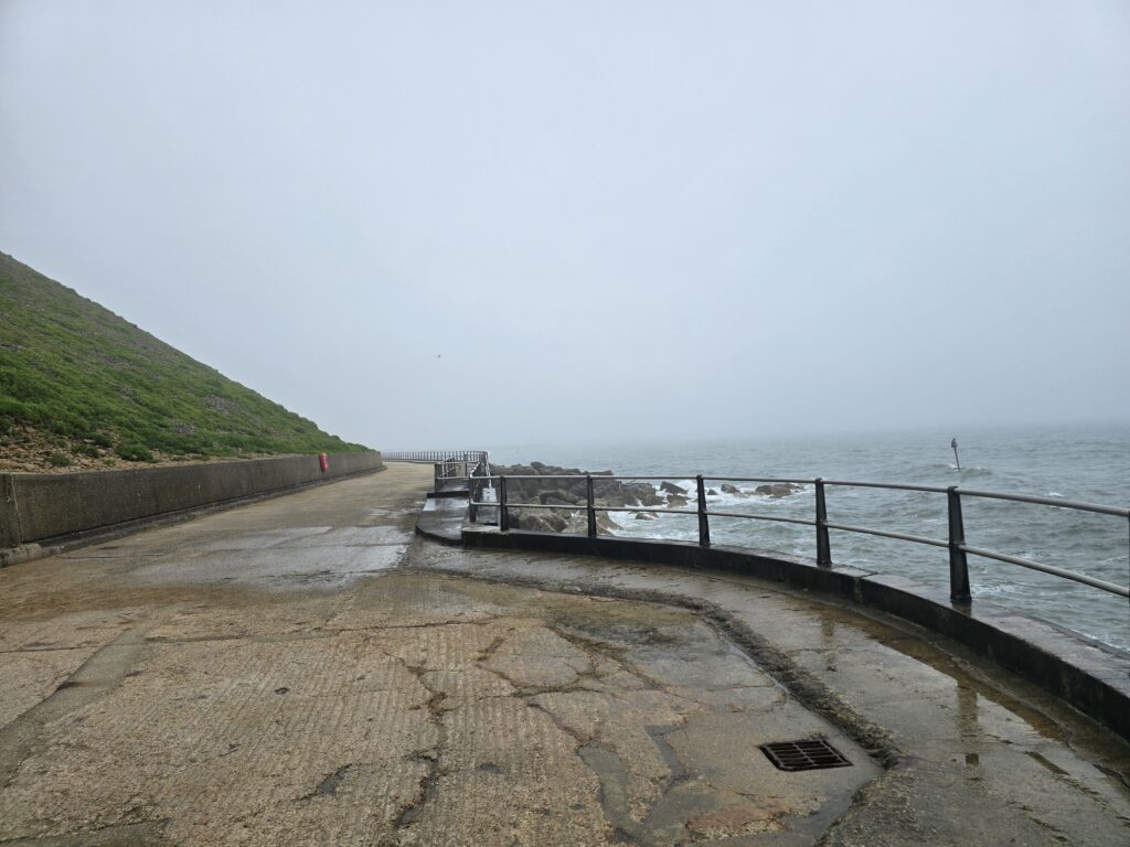
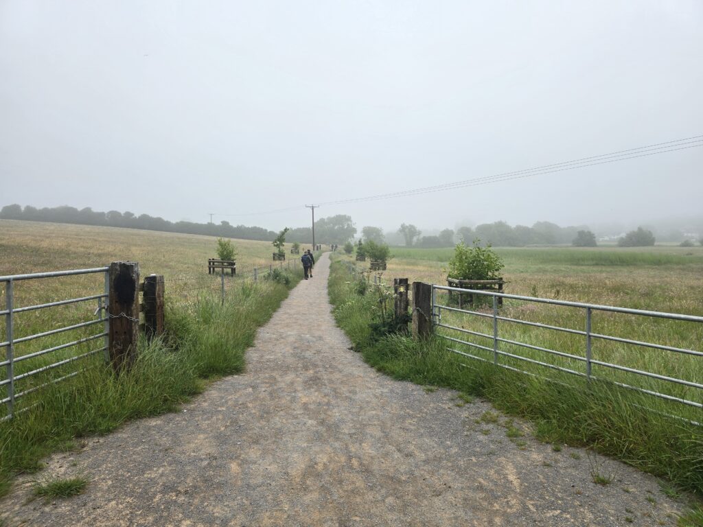
In late summer, this flat meadowland north of West Bay becomes Jurassic Fields festival. For most of the year it’s just long grass and a gravel path running north into the mist. Technically part of the Monarch’s Way — the long-distance trail that traces Charles II’s escape route after Worcester, 1651. The gatepost markers say so. Whether that adds anything to the run is a personal decision.
The path is flat and open and the pace tends to quicken here without anyone deciding to quicken it. Something about the sight line.
The River Brit
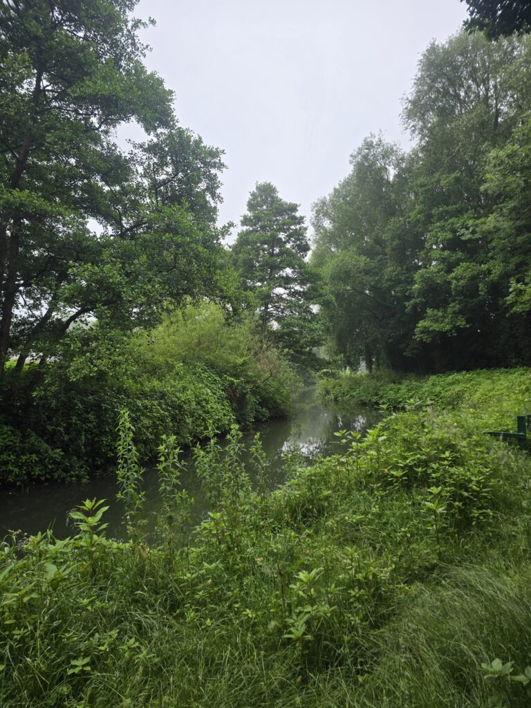
The path drops down to the Brit before the brewery. Willows on both banks. The river runs slow and green in summer, quick and brown after rain. There’s a moment, standing above it, where the brewery smell arrives before the building does — warm grain, something that’s been fermenting for a very long time.
Palmers
Founded 1794. Still family owned. The only thatched brewery in England, though the tatch isn’t the first thing you notice. The first thing you notice is the waterwheel, still turning in the millrace beside the stone mill building. It’s not ornamental. It drives the millstones.
The ornate iron bridge comes first — black ironwork, red rivets, a Palmers banner stretched across the parapet. Cross it and the brewery opens up properly. Tours are available. The beer is everywhere in Bridport, as it should be.
From here it’s a straight quarter-mile back to the car park.
The Crown
Optional but advisable.
The Crown pub is two hundred metres up East Street from the finish. Palmers on tap. Bar staff who don’t need anything from you except your order. No music at a volume that interferes with conversation. If the conversation started on the cycleway and went somewhere good, this is where it finishes. If it went somewhere difficult, this is also where it finishes. Either way.
Running This with TOL
Download the route PDF — waypoint by waypoint, photos included, sized for your phone.
We run West Bay regularly as a group. If you want to run it with people who know it, come and find us. Thinking Out Loud Runners is a group built around conversation at companion pace. No targets, no data, no playlist. Just the route, and whoever turns up.
Find out more about Thinking Out Loud Runners →
Route B · 3.8 miles · Start: Bridport FC Car Park, DT6 3FN · Surface: mixed (gravel cycleway, road, footpath) · Elevation: negligible · Dogs: yes, on leads through fields