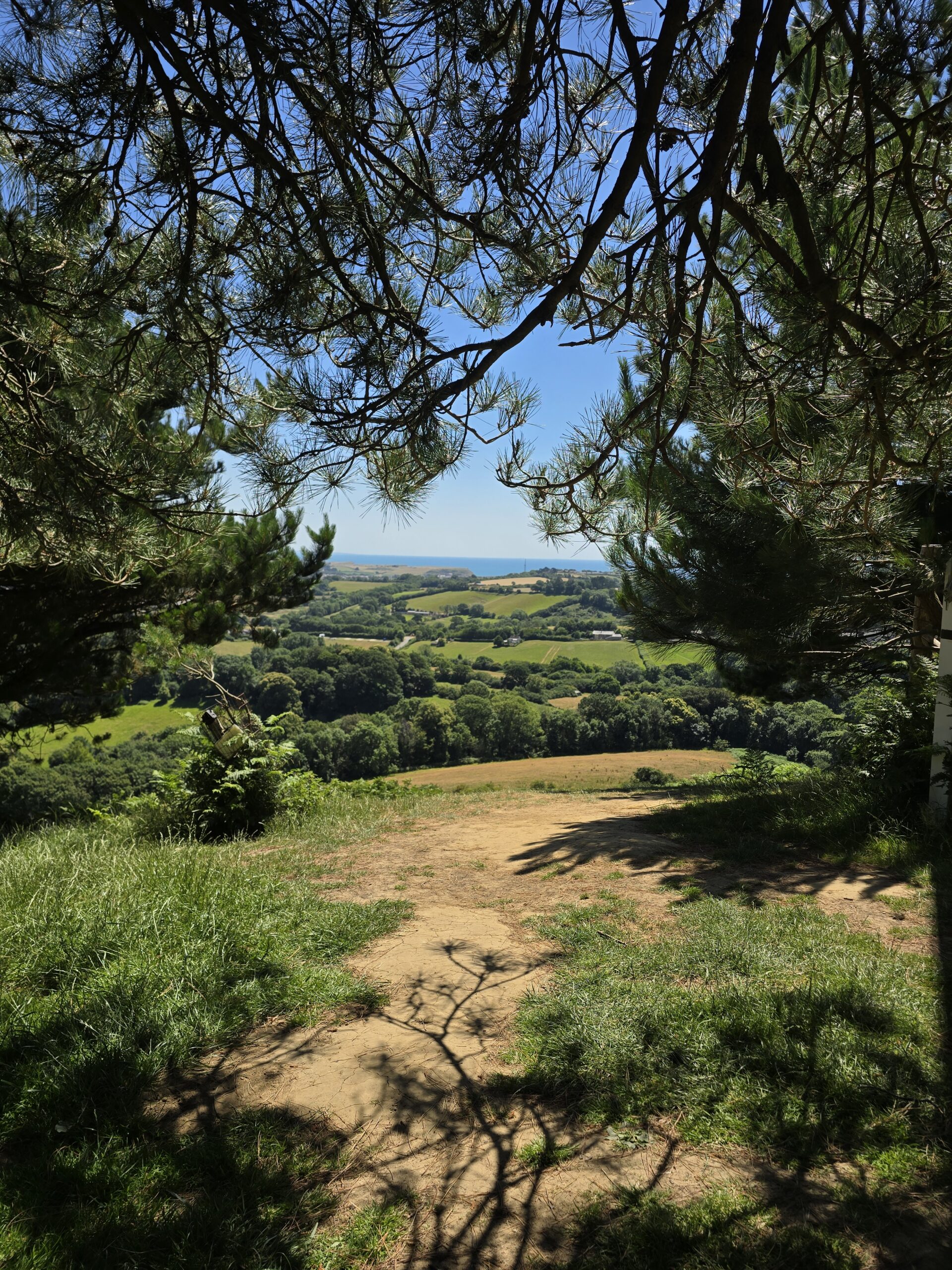
This isn’t a finished route. It’s the run you do before the route exists — the one where you’re testing paths, clocking gates, working out where you’d lose people and where you wouldn’t, making mental notes about what to keep and what to quietly drop before anyone else has to experience it. A recce, in other words. Six and three quarter miles of Dorset in July, at noon, in heat that had no business being this insistent, and not a breath of wind to apologise for any of it.
The Thinking Out Loud Runners route through Coneygar Hill, Colmers Hill and Symondsbury is still being mapped. What follows is the reconnaissance.
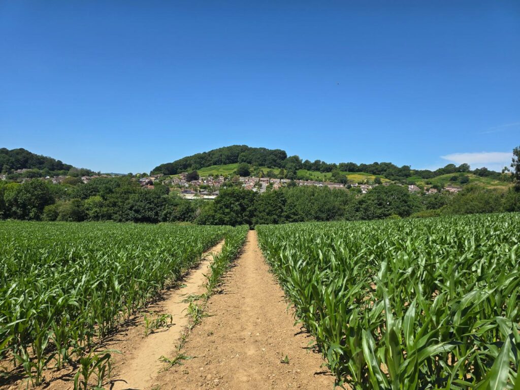
Maize field path, Allington Hill rising beyond. The path cuts clean between the rows — the whole thing already looks like it’s going somewhere worth going.
Where it starts
I began at Lee Lane — not because it’s confirmed as the start point, but because it might be. There’s parking here, which matters when you’re building a group run that people actually need to get to. Whether it ends up as the official start or just one option among several is still to be decided. For now it was simply where the watch started.
The path out drops you almost immediately into a maize field, a proper one, the rows high enough by early July that you can feel the temperature difference between the open track and the shade either side of it. Allington Hill sits beyond the town ahead of you — a useful landmark, and one you’ll loop around before the morning is done.
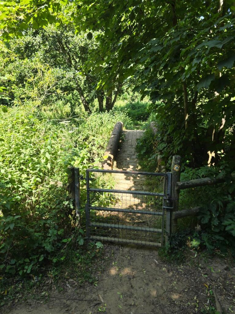
The gate into the riverside path. Monarch’s Way marker on the post.
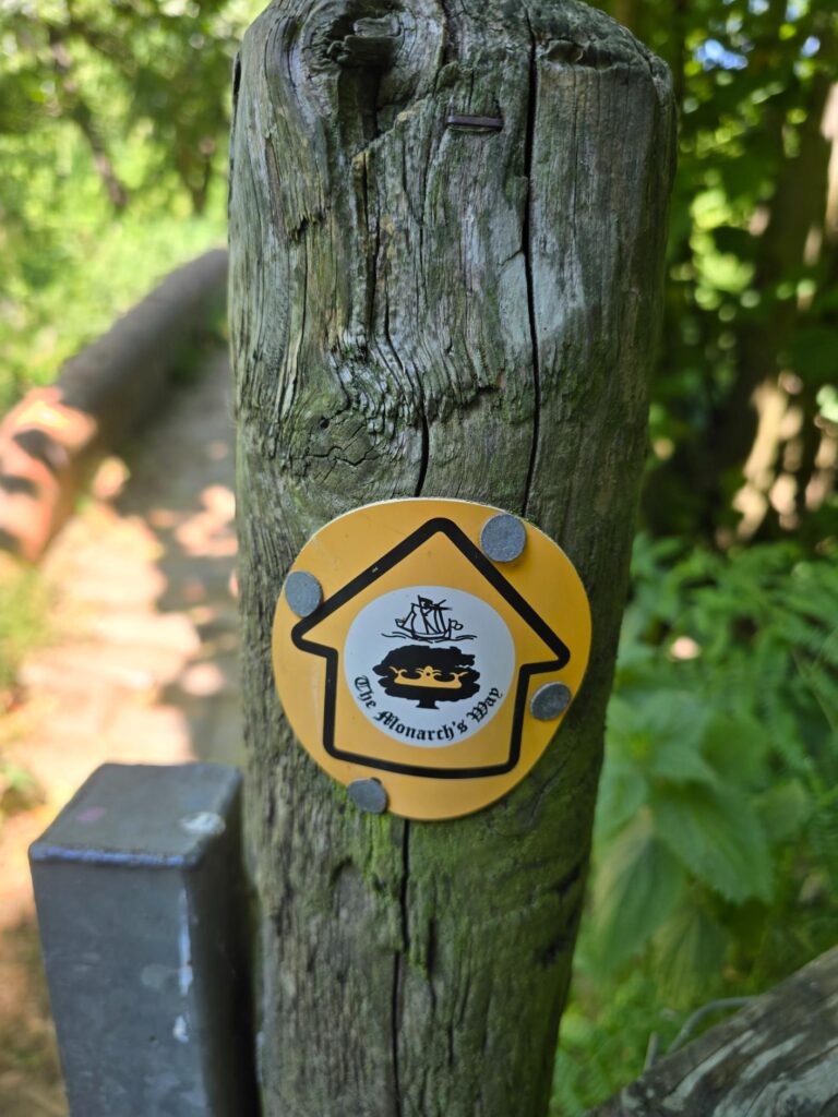
The Monarch’s Way disc, close up. Charles II is said to have passed this way in 1651, making his escape after Worcester. The footpath has been here longer than most things you’ll run past today.
Happy Island and the River Asker
Locals call this stretch Happy Island, which tells you something about how it makes people feel without needing to oversell it. The River Asker runs clear and shallow here, overhung by willows and elder, and on a day pushing thirty degrees it has the quality of a rumour about somewhere cooler. You don’t stop. But you think about it.
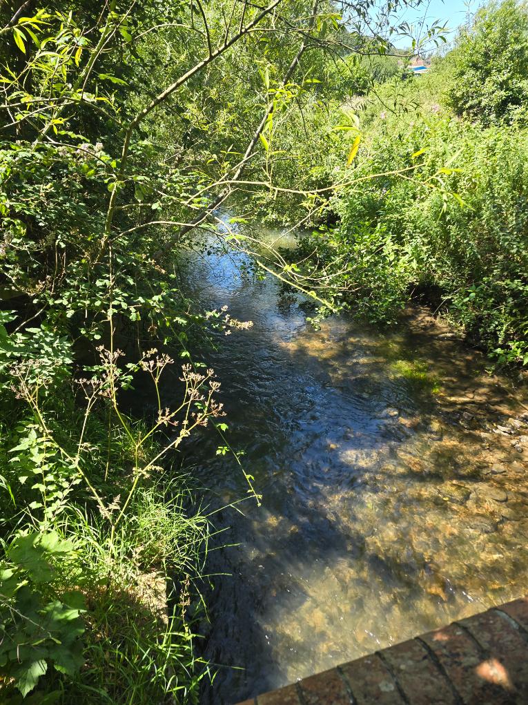
The River Asker at Happy Island. Clear water over pale stones. If you’re not tempted to wade in, check your pulse.
A small stone bridge takes you across — ancient enough that the summer growth has nearly swallowed it on one side — and the path continues through fields that bring you out near Lidl and onto Sea Road.
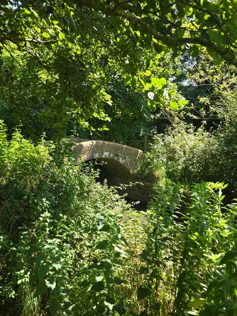
The old stone arch bridge, half-buried in July growth. Still standing. Still doing its job.
This is the functional section of the route: a stretch of road to cover before the interesting terrain resumes. On a group run it’s the part where the conversation picks up, because nobody needs to concentrate on their footing. Not every part of a route can be scenery. This is the connective tissue.
Coneygar Hill
The entrance to Coneygar is easy to miss if you don’t know where you’re looking. A green footpath sign points to Coneygar Hill and Town Centre, and then you’re through a gate into something that feels completely separate from the road you just left.
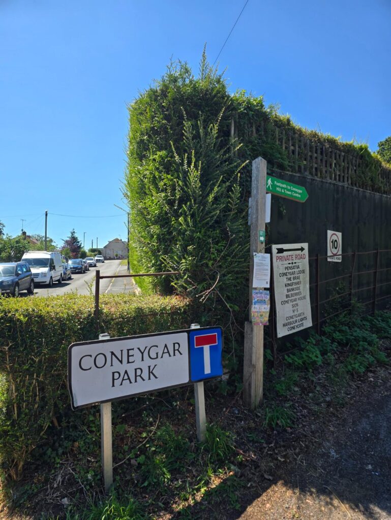
Coneygar Park sign, and the footpath arrow pointing toward the hill. The information board behind the gate marks this as part of Bridport Millennium Green — two contrasting green spaces managed by a charitable trust, the land once part of the gardens and pleasure ground of the 18th century Downe Hall.

The woodland path up through Coneygar, dappled and cool. The first shade of the run.
The climb through Coneygar Hill is shaded, genuinely shaded, and on a day like this it functions as an unofficial aid station. The badger setts on the hillside are well-documented — the information board at the entrance flags them, along with the badgers themselves — and the cattle that graze the upper meadow in summer mean dogs need to be under proper control. The views from the top reach south over Bridport to West Bay and the sea. On a clear morning they’re worth the climb on their own.

The stone gateposts at the Downe Hall entrance — what remains of the original estate approach. The gravel path runs straight between them and into the wood.
The other side of Coneygar drops you into the middle of town. Which raises an option worth noting: if the full route from Lee Lane turns out to be too long, or someone wants a shorter version, Coneygar Hill makes a self-contained run in its own right starting from East Street car park. Up through the Millennium Green, over the hill, back down the other side and home. Two or three miles, mostly green, mostly shaded. That’s a different route for a different day — but it’s there.
Through town
The middle section of the route runs through Bridport proper, and it does so without apology. This is a town run as much as a countryside run — that’s part of what makes it interesting as a TOL route. You’re not shuttled between green spaces in a van. You move through places.
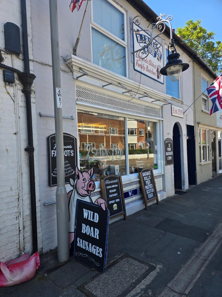
R.J. Balson & Son, East Street. Est. 1515. England’s oldest family butchers, by their own account, and they’re not wrong. Wild boar sausages on the board. On any other day you’d stop.
Past the market, down toward the Symondsbury turning, and the town gives way again to lanes and hedgerows and the particular quality of quiet that comes when the tarmac narrows enough to feel like somewhere else.
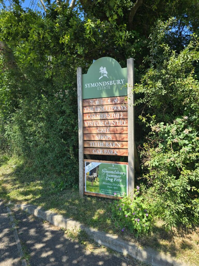
The Symondsbury Estate sign. The Holloways. Colmers Hill. Visitor Centre. Café. The board is doing a lot of work in the heat.
Into the Estate
The Symondsbury Estate is where the route becomes properly rural again. Signed footpaths take you past the sheep dip and up toward the Tithe Barn, the path climbing gently before the landscape opens out and you can see, properly for the first time, what you’re heading toward.
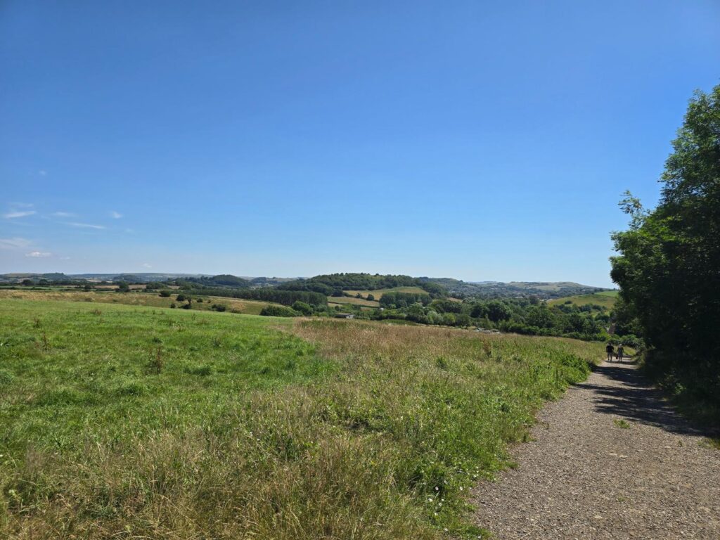
The estate track, wide and exposed. Two walkers ahead. The rolling Dorset hills going on for what feels like forever.

A farm gate, and beyond it the path heading straight up the hill toward the tree line. This is where you start to understand what’s coming.
There’s a moment on the approach to Colmers Hill when the gradient stops being polite about its intentions. The path runs up through open meadow to a line of ferns roughly halfway up the hill — and this is where, on this particular day, the legs made their position clear.
I got to the ferns. I did not get further. The heat had been accumulating since Lee Lane and the hill was making reasonable points about it.
For TOL purposes: the steep section to the summit is entirely optional. Nobody is expected to run it, and walking it is the correct decision for most people on most days. The views from the base of the final climb are already exceptional. The summit is a bonus, not a requirement.
The view from Colmers Hill
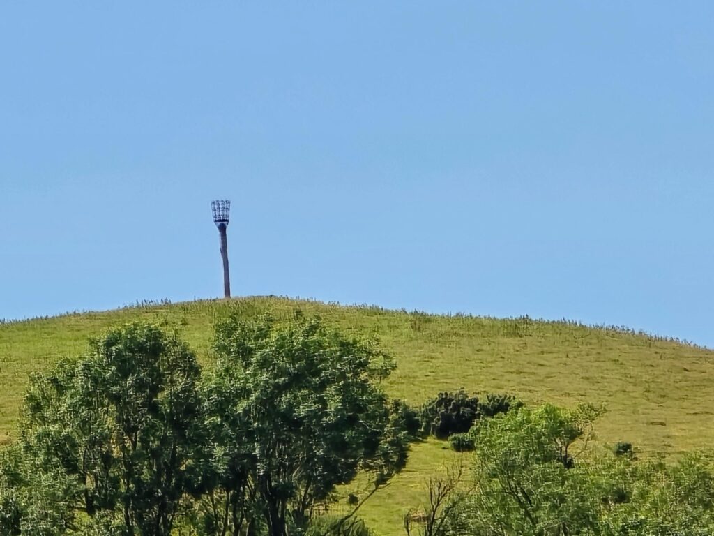
Thorncombe Beacon, zoomed from the climb. The fire basket on the summit of Golden Cap is visible in the distance — that’s a different hill entirely, one with its own route waiting to be written. Filed away.
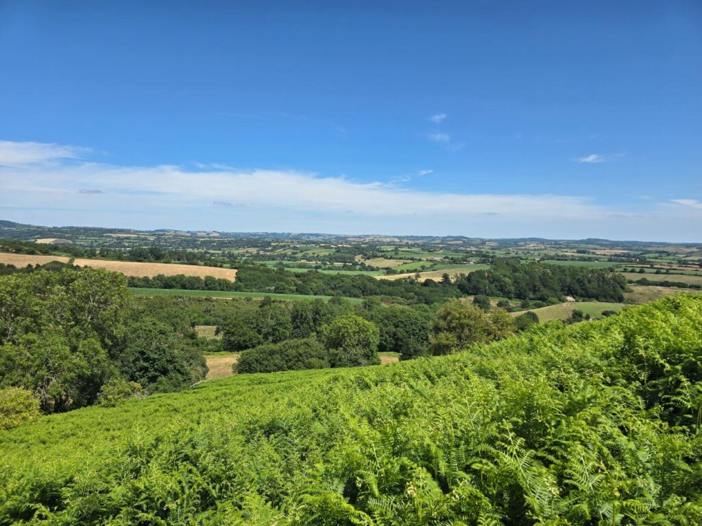
The inland panorama from mid-climb. Fields stitched together in every shade of July green and gold, all the way to the hills beyond Beaminster.
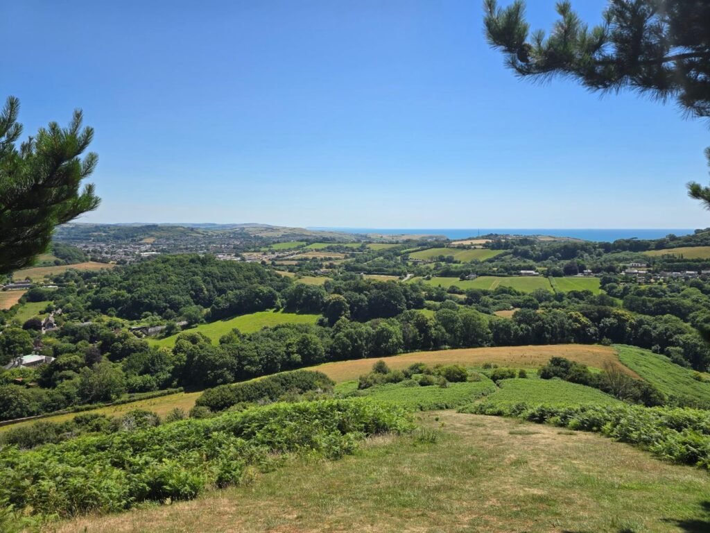
Bridport below, the coast at West Bay, and the sea beyond it. The Channel is blue and glittering and completely indifferent to how warm the climb was.
The summit of Colmers Hill is marked by a stone and ringed by Scots pines — the trees that make it one of the most recognisable shapes in Dorset, visible from the coast path, from the roads around Bridport, from photographs taken by people who’ve never set foot here. Up close the pines provide a little shade and a great deal of altitude. The views rotate through 360 degrees without a weak angle.
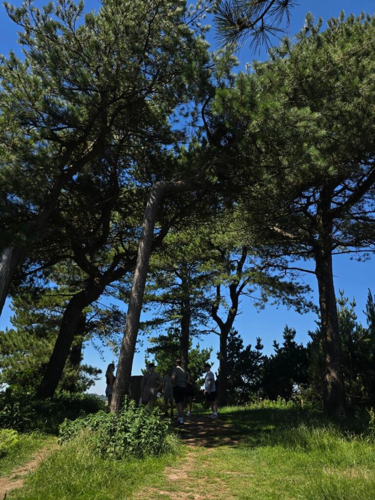
The summit. The famous pines. Other people also had the same idea on a hot July Friday.
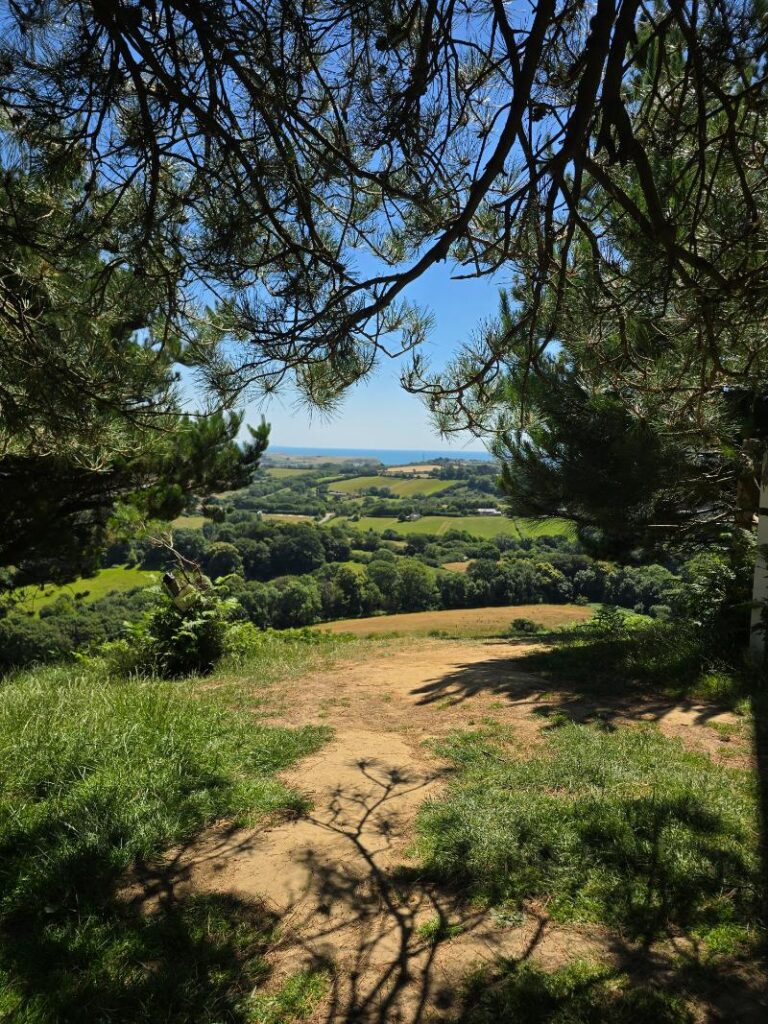
The sea, framed through the branches. The best frame on the hill.
Down into Symondsbury
The descent off Colmers Hill into Symondsbury is steep enough to demand attention and short enough to be over before it becomes a problem. The village arrives as a reward — stone, thatch, a school that looks like it was built to last several centuries, and a pub that was.
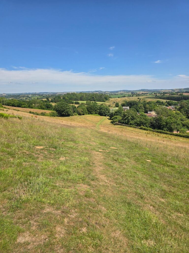
The descent path, Symondsbury visible below and to the right. The hard work is done.
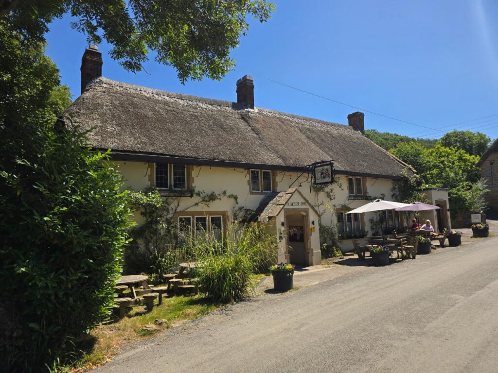
The Ilchester Arms, Symondsbury. Thatched roof, sun on the tables, people with drinks. On a recce trip you note these things for future reference and keep moving. Only just.
The Ilchester Arms is worth knowing about. On a group run it would be the natural end point for anyone who wanted a beer or a coffee before heading back, and the route could be shaped around that. For now it was just something to walk past and remember.
The way back
Out of Symondsbury, back along the lane, and past the medical centre on the main road before turning onto Back Rivers Lane — a name that earns its keep, running narrow between stone walls and gardens back into town.
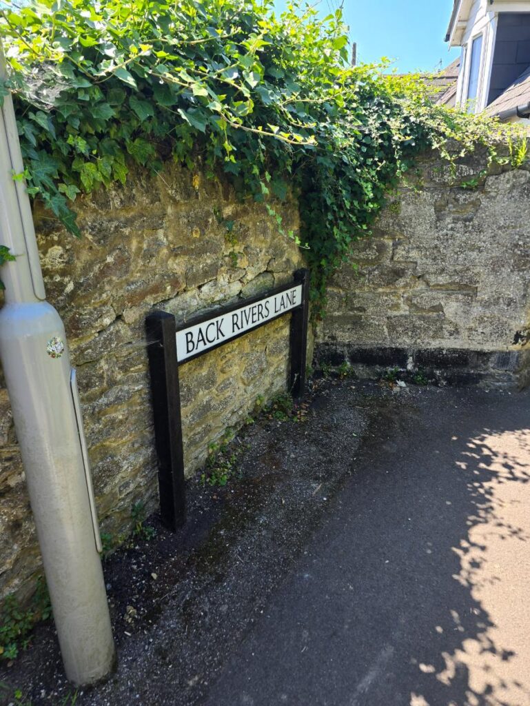
Back Rivers Lane. The sign, the wall, the ivy. Bridport doing what Bridport does.
For me this stretch is the walk home. For a group run it would route back toward Lee Lane, or East Street car park, or wherever the starting point eventually settles. That decision is still to be made — along with which sections of today’s route make the final version, and which get quietly left out.
That’s what a recce is for.
Coneygar Hill, Colmers Hill, Symondsbury, Dorset AONB — 6.73 miles — 689ft — 3 July 2026