The plan, on paper, was a good one. A loop out of Bridport taking in both nature reserves, the old railway line down to West Bay, the harbour, the cliffs, and back along the river past Palmers — slowly, deliberately, with a camera in hand at every point worth stopping for. A reconnaissance run, really. The kind where the running is secondary to working out what a route is actually made of, in case anyone ever wants to borrow a piece of it.
What I had not accounted for was the fog. Dorset had apparently decided that today was not a day for views, and proceeded to remove all of them with quiet, total efficiency.
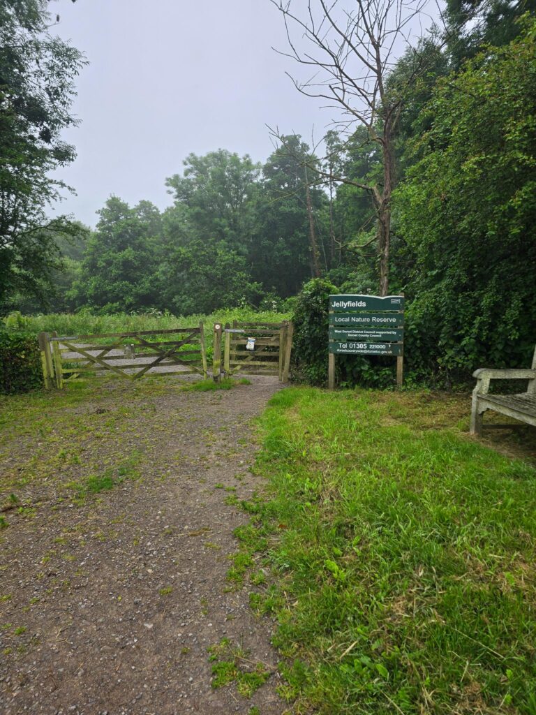
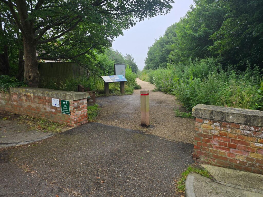
Jellyfields Local Nature Reserve — six minutes in, already swallowed by hedgerow.
It started well enough. Jellyfields first, gate and noticeboard and all, the path narrowing into green on both sides before I’d even properly warmed up. Then down past Crock Lane — a name that promises more drama than it delivers — and along the quiet lanes past the Old Rectory, Quarry Cottage and the Kiln, the kind of stretch that only reveals itself to you on foot, at a sensible pace, paying attention.
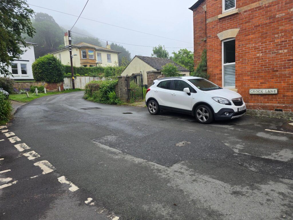
Crock Lane. No crocks were harmed.
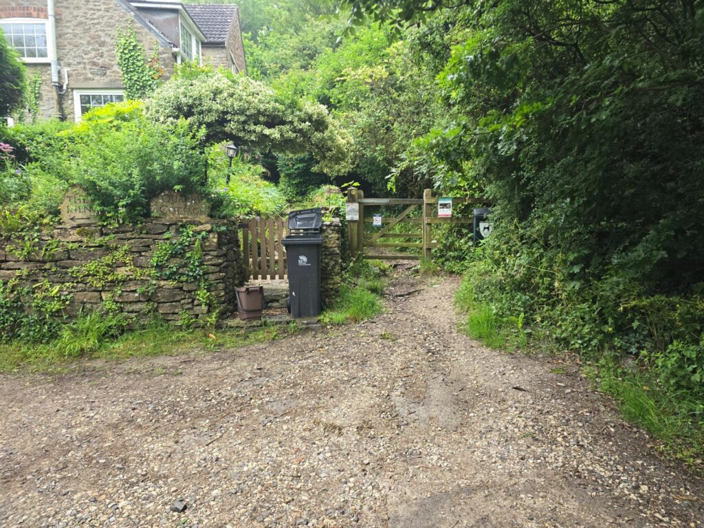
Quarry Cottage and the Kiln — the path narrows to a single wheelie bin’s width and nobody seems to mind.
Then the climb. Bothenhampton Nature Reserve has apparently seen me before — third-best time, according to Strava, which feels generous given how much of it I walked today with a phone in my hand. At the top there’s a bench, positioned with real intention, clearly built for a view of Bridport falling away beneath you towards West Bay and the sea beyond.
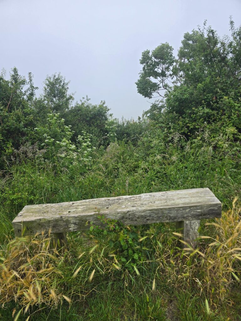
The bench at the top of the Bothenhampton climb. Somewhere beyond that hedge: all of Bridport, West Bay, and the English Channel. Allegedly.
I can confirm the bench exists. I cannot confirm anything it overlooks. I will get one on a good day!
From there it was down through the long grass and the gates — one sheep warning sign duly noted — and onto the old railway line, the wooden waymark posts ticking past like a different century’s idea of signage. Cycle Route 267 took over from there, gravel underfoot, hedges high enough either side that the fog barely had to try.
The old Bridport railway line, now a cycle path. The bollard has seen more weather than I have.
West Bay arrived properly at the old station, where a pair of yellow GWR carriages sit permanently parked among the roses — not running anywhere, just quietly retired in the best possible spot.
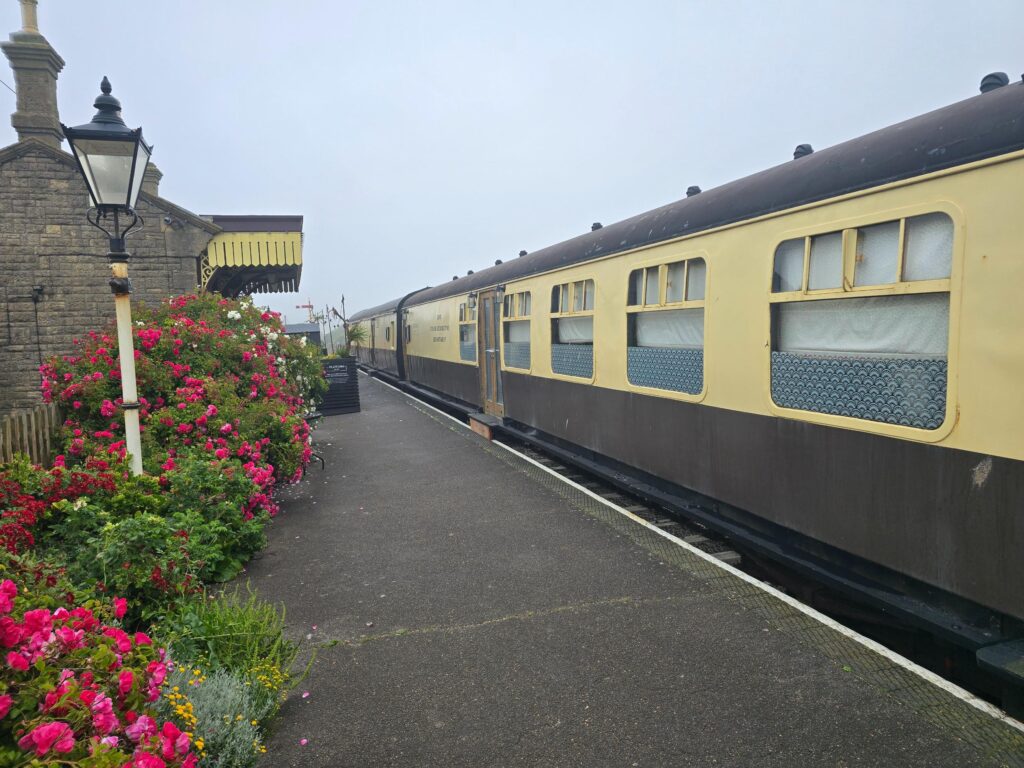
Heritage carriages at the old West Bay station. Going nowhere, and looking rather pleased about it.
The harbour was working as harbours do regardless of visibility — fishing boats moored three and four deep, pots stacked, the Carissa Ann and the O’Din rocking gently against their lines while Bridport got on with its Tuesday in the background.
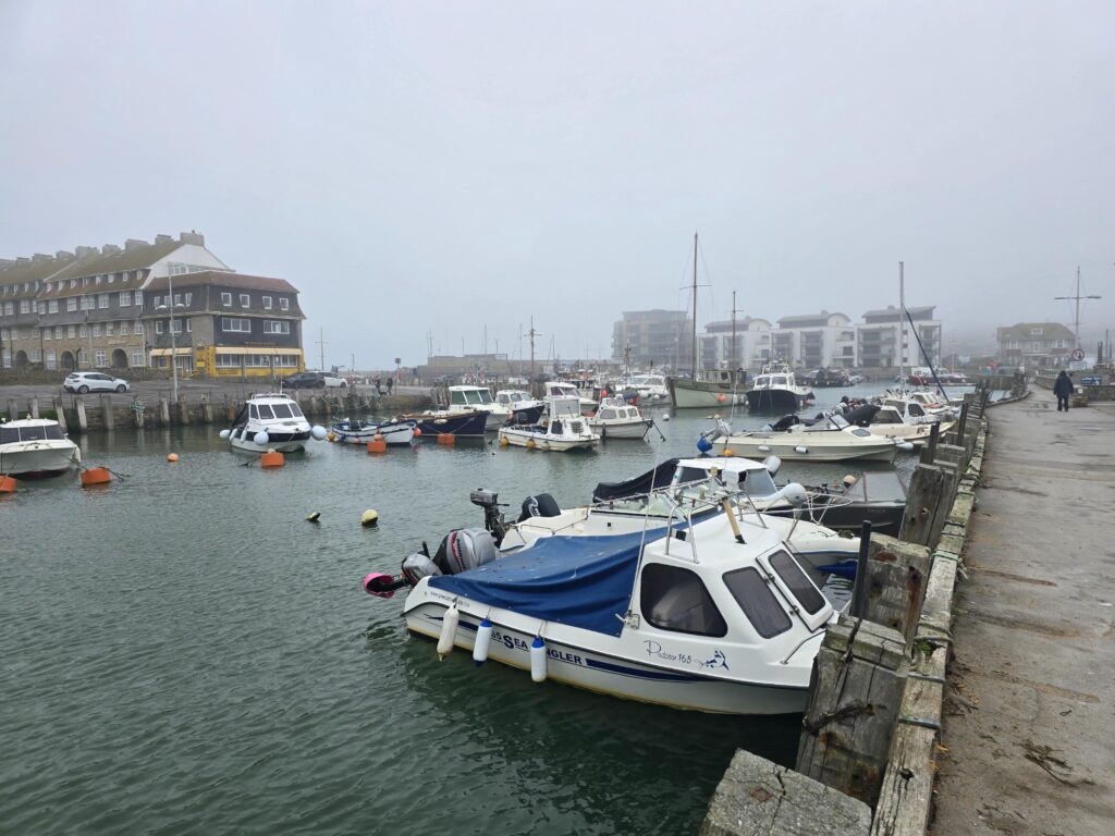
West Bay harbour. The boats don’t seem to mind the fog either.
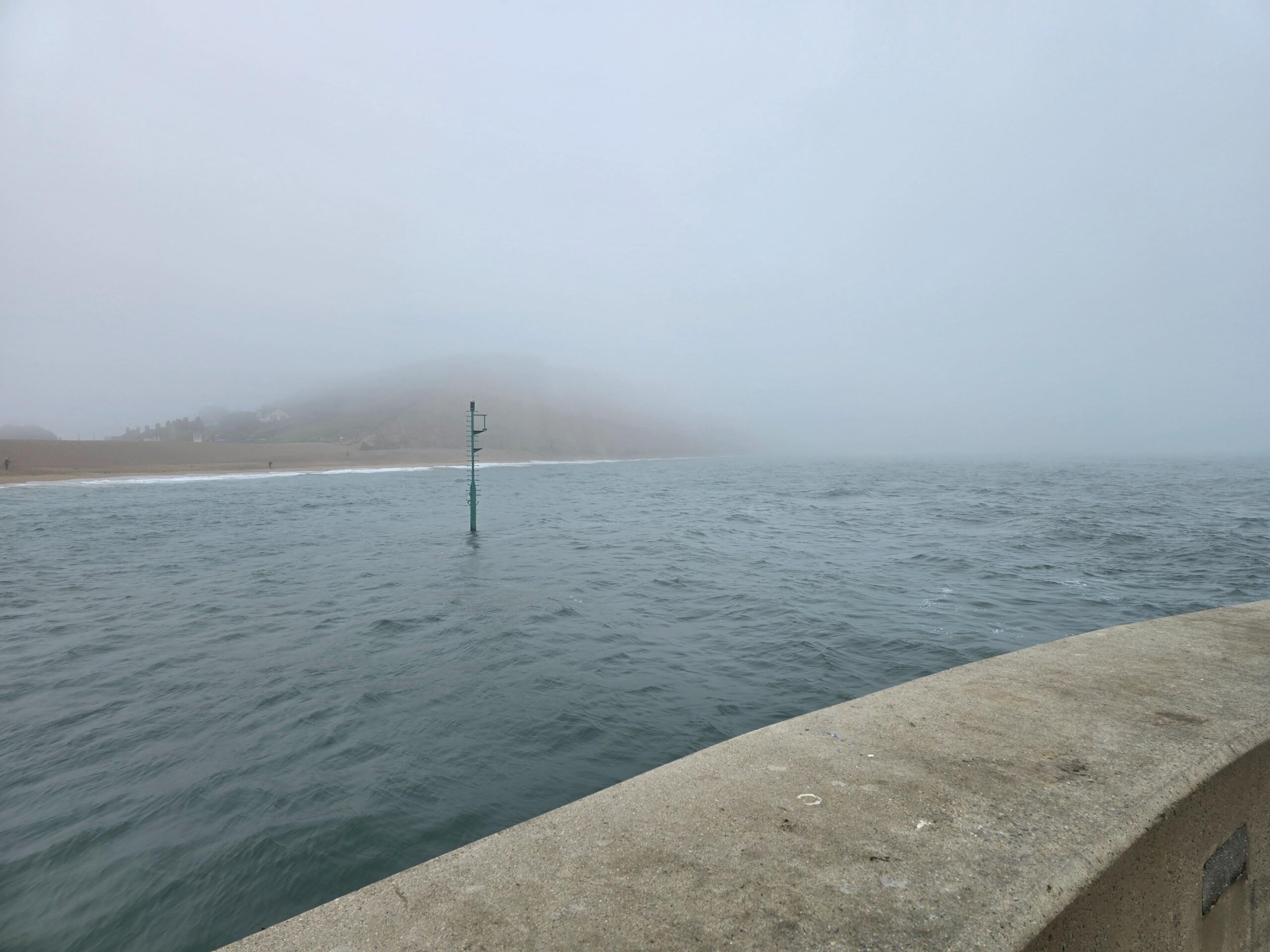
Out along the pier, the sea had reduced itself to one shade of grey meeting another, with a single depth marker standing in the water as the only proof that the cliffs over at Burton were still there at all.
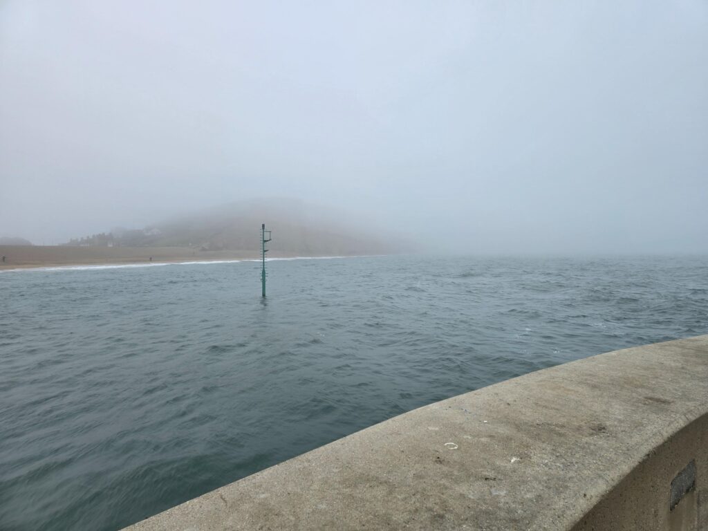
The view towards East Cliff. There is, in theory, a headland in this photograph.
The coastal path underneath the cliffs delivered more of the same — concrete walkway, iron railings, a curtain of white where the rock should have been. I followed it round past the West Cliff Estate (somebody’s bungalow currently for sale, fog included at no extra charge) and turned back inland.
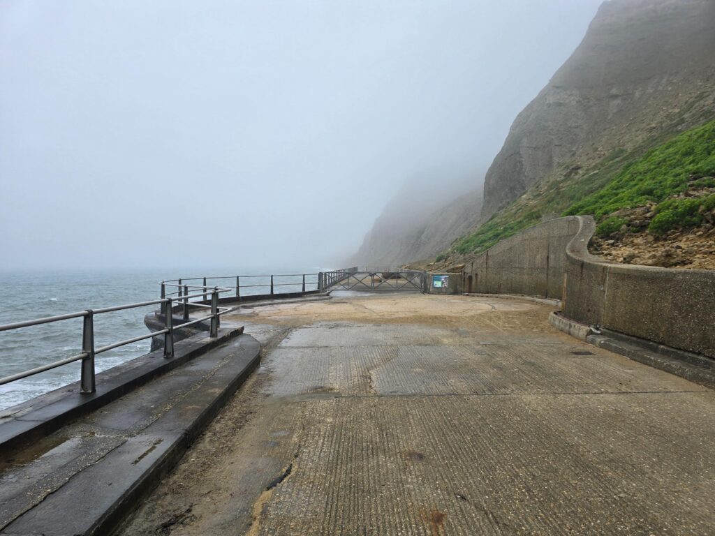
Under the cliffs at West Bay. The path is real. The view is a rumour.
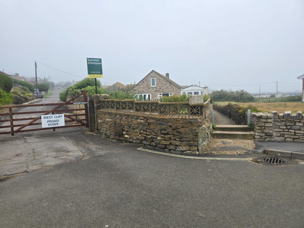
West Cliff Estate. For sale, with optional weather.
The way back cut through green, tree-lined paths and out across open field, gates either side, The stretch from West Bay through the fields to Bridport is where our local festival “Jurassic Fields” is held every year. A highly recommended festival. Then after you run below the Bridport bypass road the route delivered me to the one stretch of the morning where the fog actually lifted enough to be worth something: Palmer’s Brewery, the old waterwheel turning quietly above the River Brit, exactly as photogenic as it always is regardless of conditions.
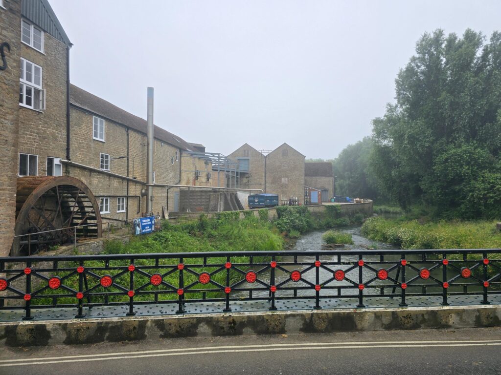
Back along the Brit. Palmers and the wheel — reliably picturesque, fog or no fog.
A few minutes later I was at St Mary’s playpark, and a few minutes after that my phone gave up entirely, which means the back half of the loop and home along Back Rivers Lane — happened entirely off the record. It was, I’m told by my own memory, very similar to the front half. Green. Damp. Visually unconfirmed.
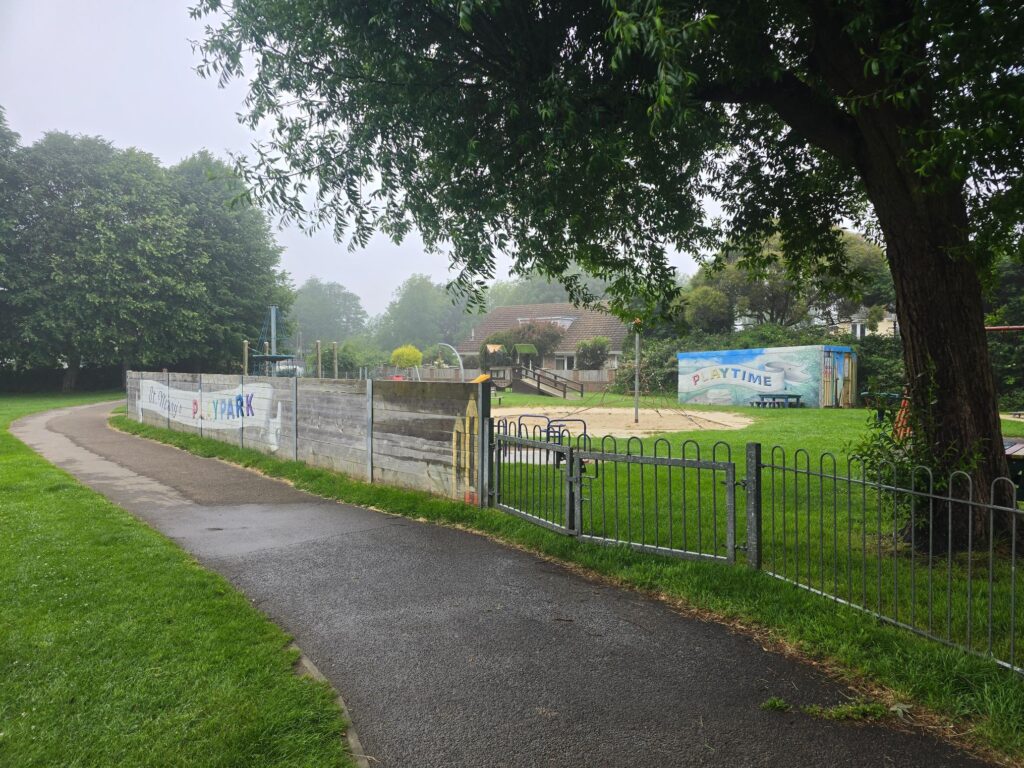
St Mary’s Playpark. Last photographic evidence before the phone surrendered.
I will re-visit this route, get some better pictures, and maybe it could provide you with some inspiration for routes we could use for TOL. Let us know what you think and we can work on a route to suit each group.