
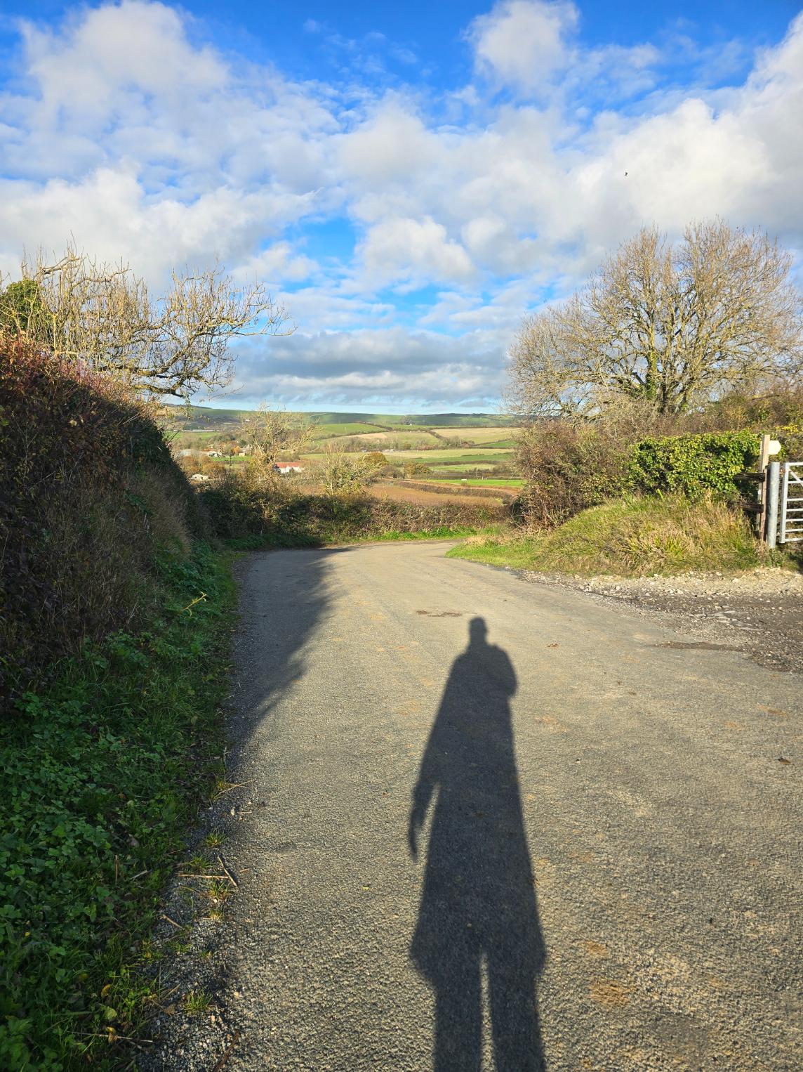
Three months ago today I walked out of hospital. Today I wanted to run a half marathon.
That wasn’t a whim. This route was planned and mapped at the kitchen table. It had to be a loop, because the car had to be at both ends. It also had to be a fraction over 13.1 miles, because nobody wants to finish 400 yards short of a half marathon and have to run up and down the road outside their car. I parked in a residential street in Portesham, pulled on the TOL shirt, took a slightly nervous selfie and set off.
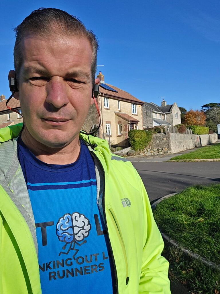
Portesham, just before noon. TOL shirt on. No turning back now.
Possum
Portesham is the kind of village people drive straight through on the way to Abbotsbury, and they shouldn’t. Thomas Masterman Hardy grew up here. He’s the other Thomas Hardy: not the novelist, but Nelson’s flag captain on HMS Victory at Trafalgar, the “Kiss me, Hardy” Hardy. He came back to live at Portesham House as an older man and called the village “Possum”. His monument has stood on Black Down above the village since 1844. You can see it from almost everywhere on this run, and over the next couple of hours it started to feel like it was keeping an eye on me.
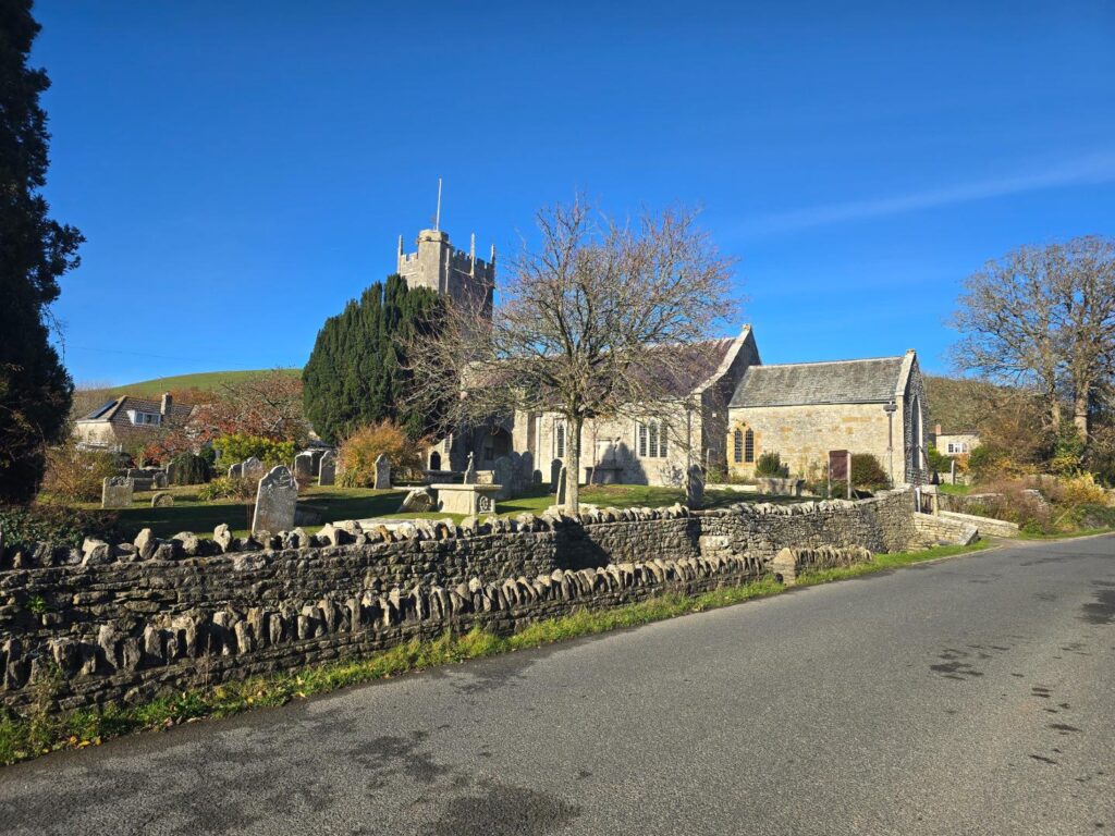
St Peter’s, Portesham. The first minute of the run, and the last flat bit for a while.
The hill
The route opens with a killer hill, straight up out of the village. My legs had no warm-up and my lungs weren’t consulted. It was a proper “what have I done” start. Then, at the top, I got the reason I’d chosen the route.
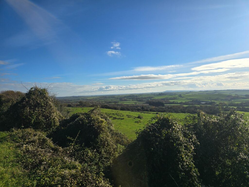
Top of the first climb. Fields, hedgerows and the Fleet on the horizon.
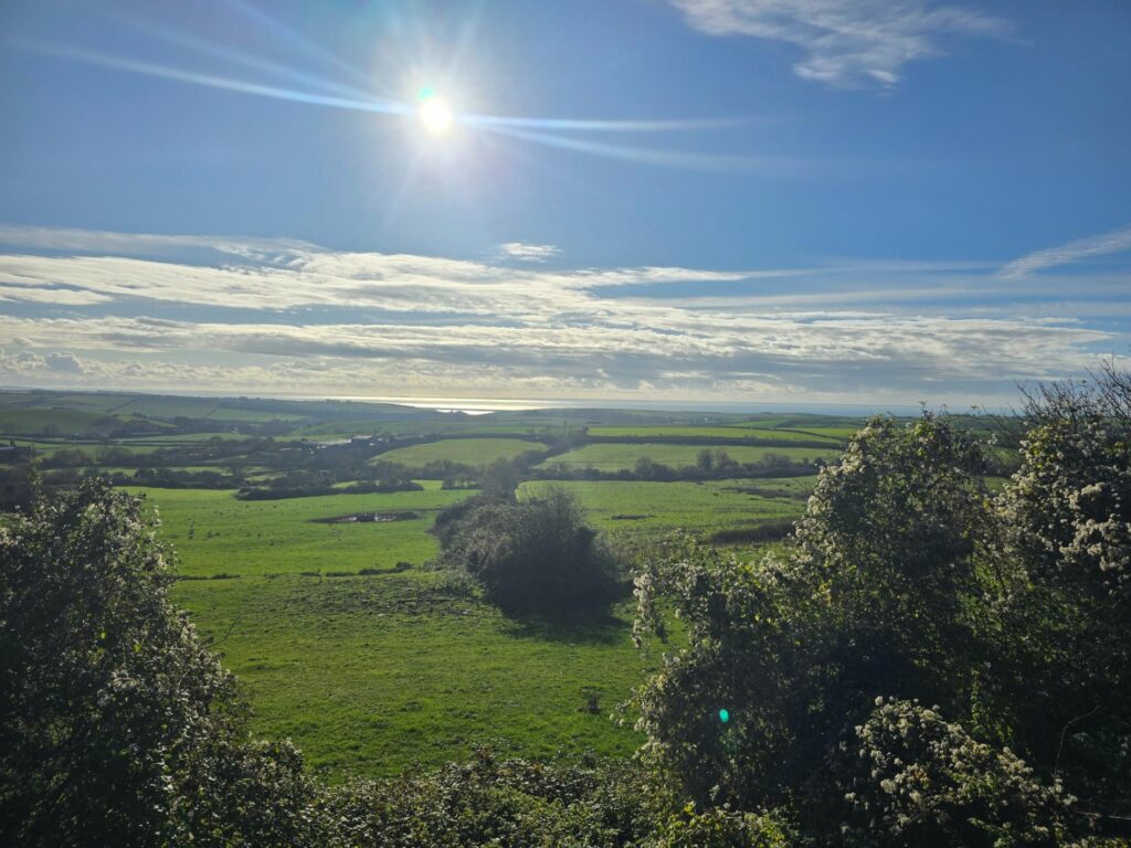
Turn around and there’s the sea. Worth every step of the climb.
The first photo I took this morning, before the run, was from the hills above Abbotsbury, looking down on Chesil Beach. I wanted to show people what this part of Dorset looks like when the light’s right. This view was the same idea from the other side, and that’s when this post started to take shape in my head.
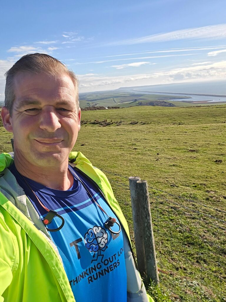
Pre-run, above Abbotsbury: Chesil Beach and the Fleet. This is what I mean.
Waddon
Then came the reward: nearly three miles of long, gentle downhill along quiet lanes between drystone walls. This is where I found my stride.
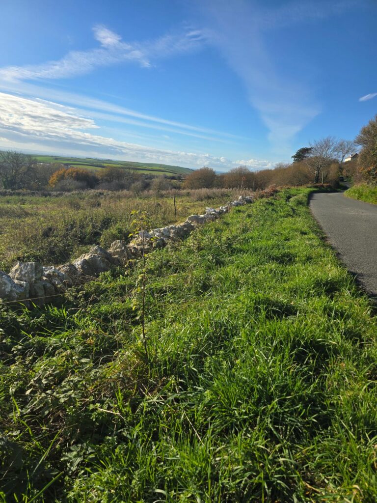
Drystone wall, empty lane, and the sea just about visible on the left.
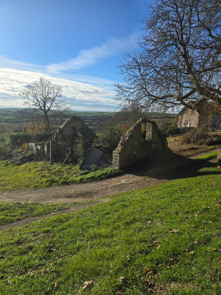
A roofless stone barn slowly going back to the hillside.
At Waddon the lane runs straight past Waddon Manor. It’s a Grade I listed house from the late 1600s, extended around 1700 by Henry Chafin, with a long thatched barn beside it dated 1702. The name is older still. Waddon is in the Domesday Book as Wadone, which roughly means “the hill where woad grows”. I’d planned the route on a map. I hadn’t planned on running past a Grade I manor house.
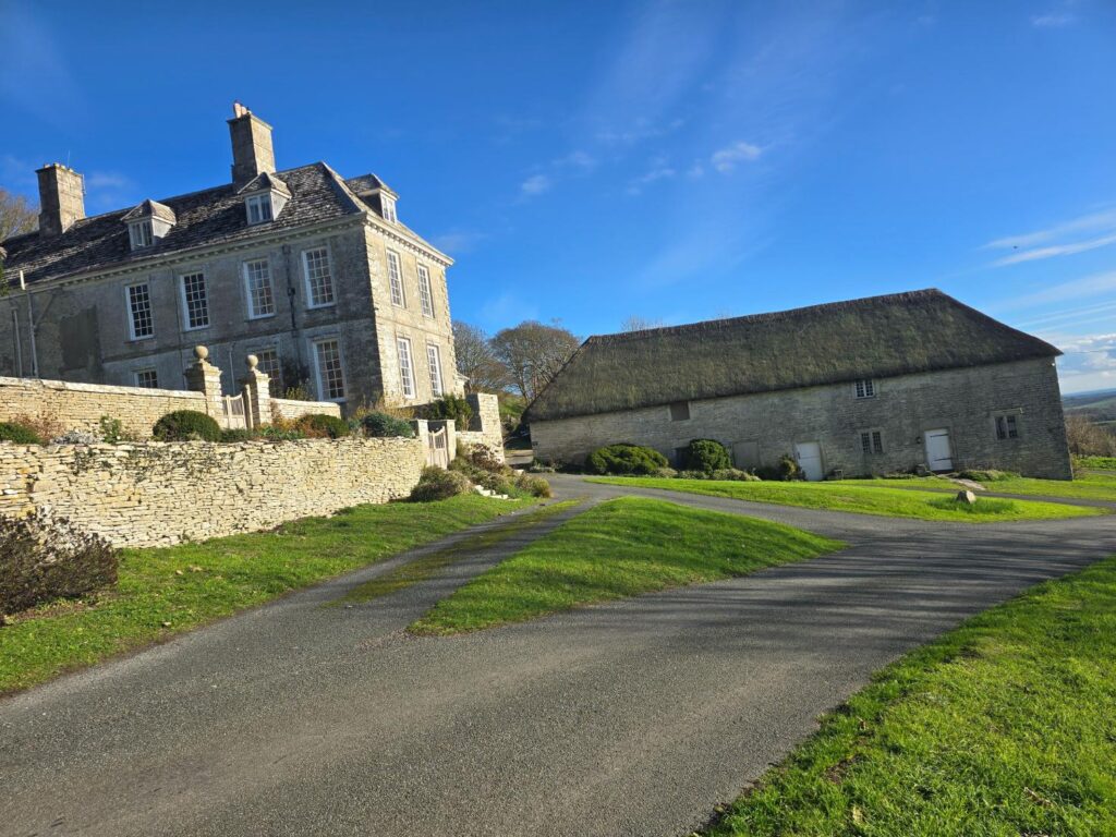
Waddon Manor and its 1702 thatched barn. Nobody about. Just me, the lane and three hundred years of stone.
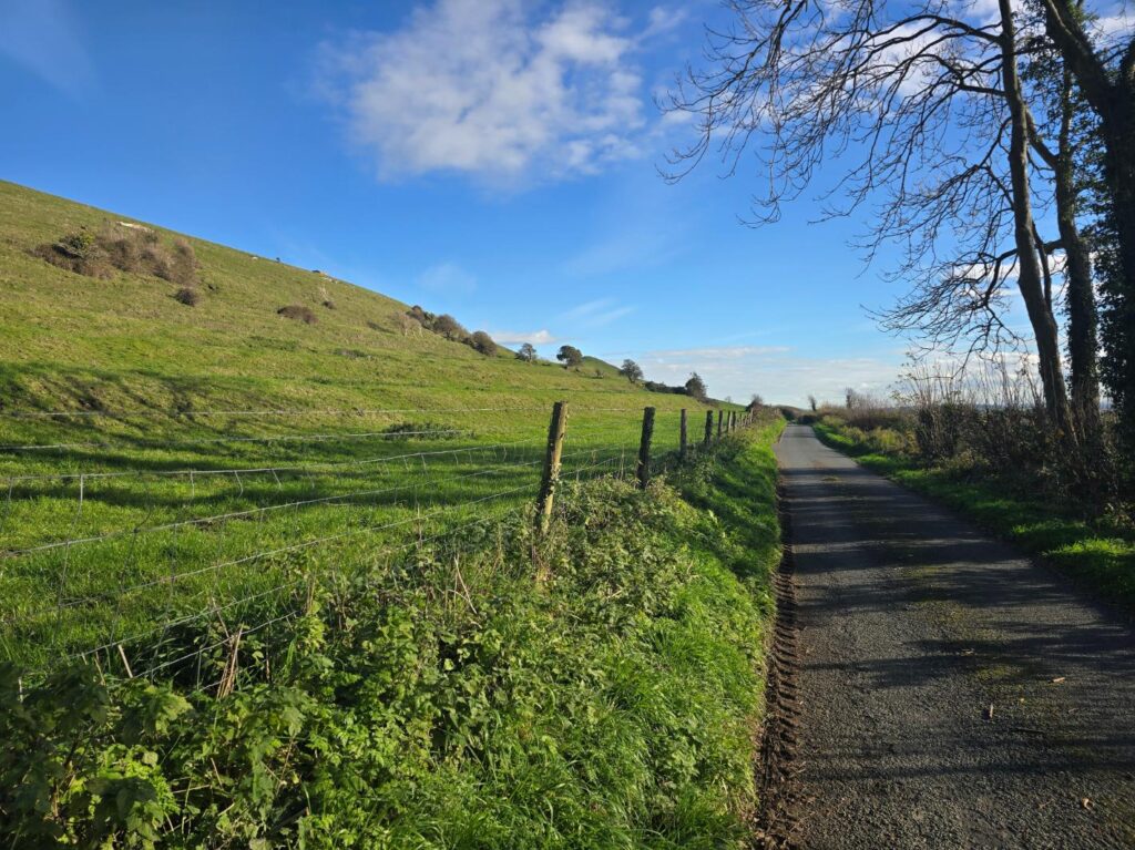
The lane under the hill, heading east.
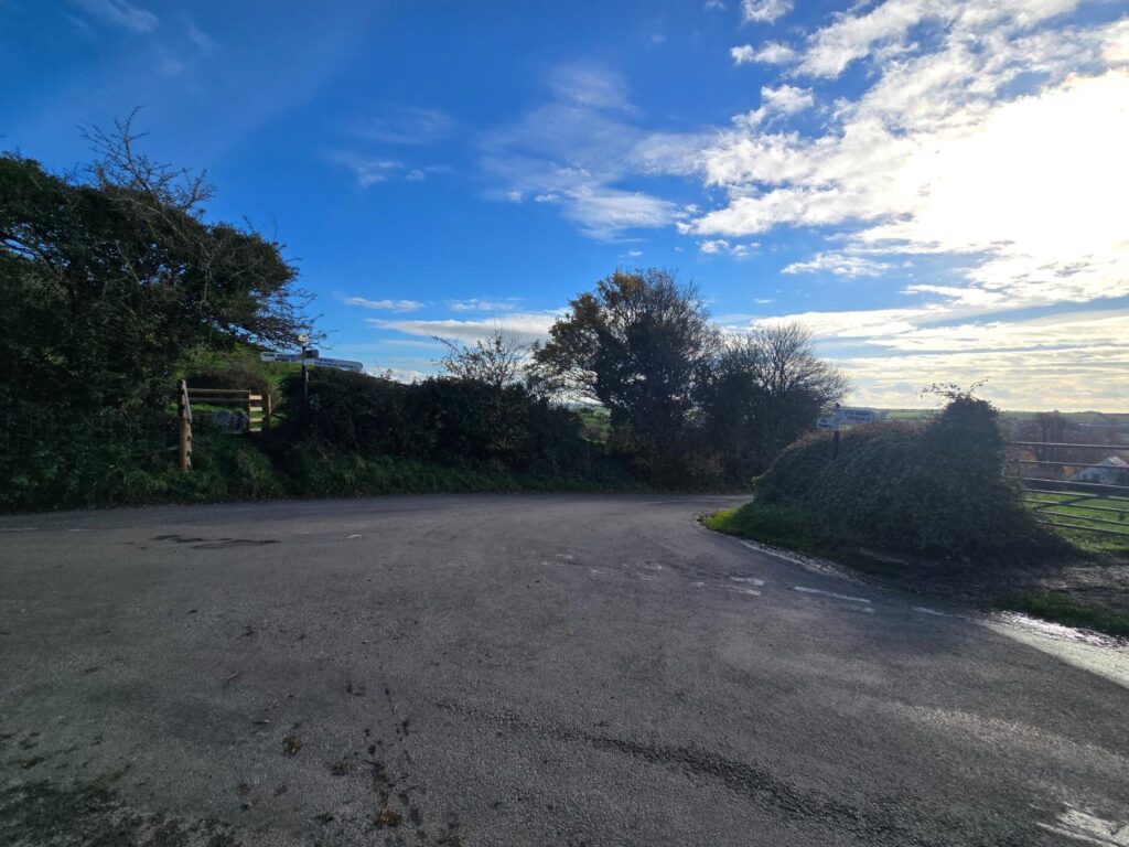
Crossroads. Coryates one way, Friar Waddon and Upwey the other.
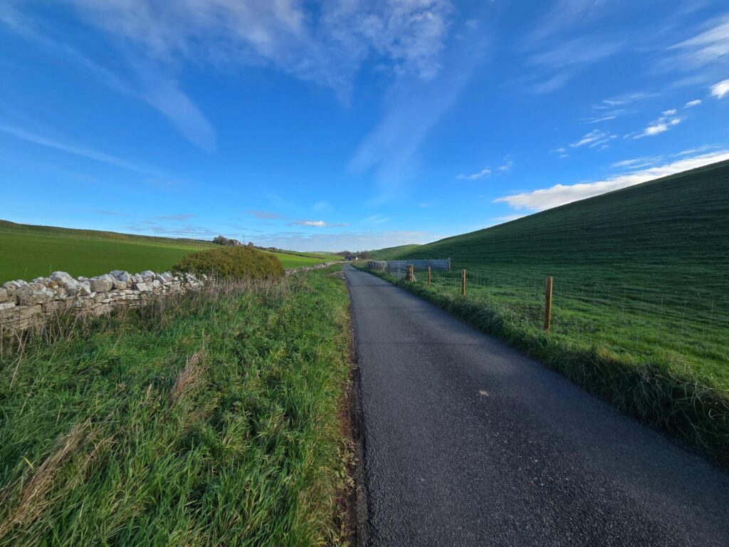
Still downhill. Still smiling.
Friar Waddon
Friar Waddon is barely a hamlet, but it has a hand-painted sign offering pick-your-own flowers and free-range eggs. That’s the kind of thing I’d like to bring the TOL group out to see one day.
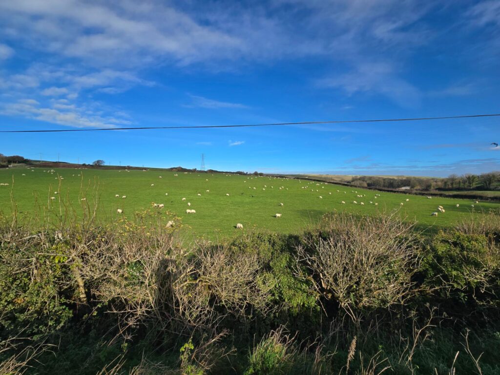
Sheep everywhere, and a few crows supervising.
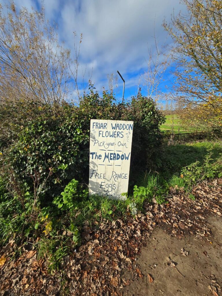
Friar Waddon Flowers: pick your own, The Meadow, free-range eggs.
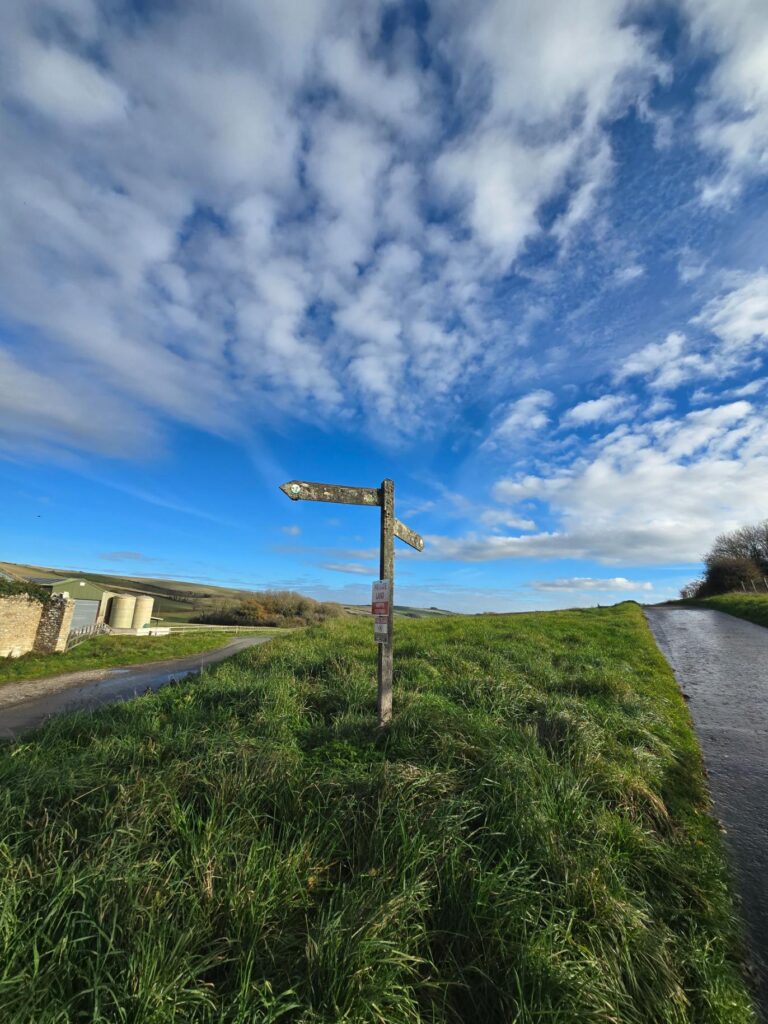
An old fingerpost under a sky that wouldn’t stop showing off.
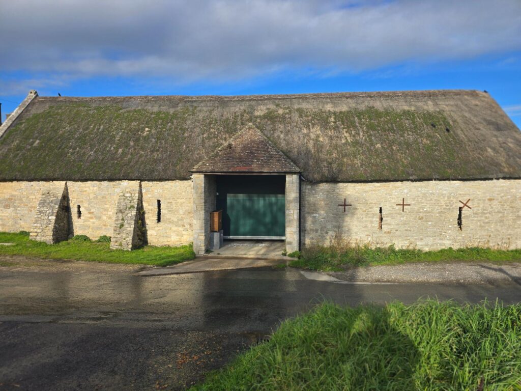
Another thatched barn, with iron tie-plates in the stone and a big green door.
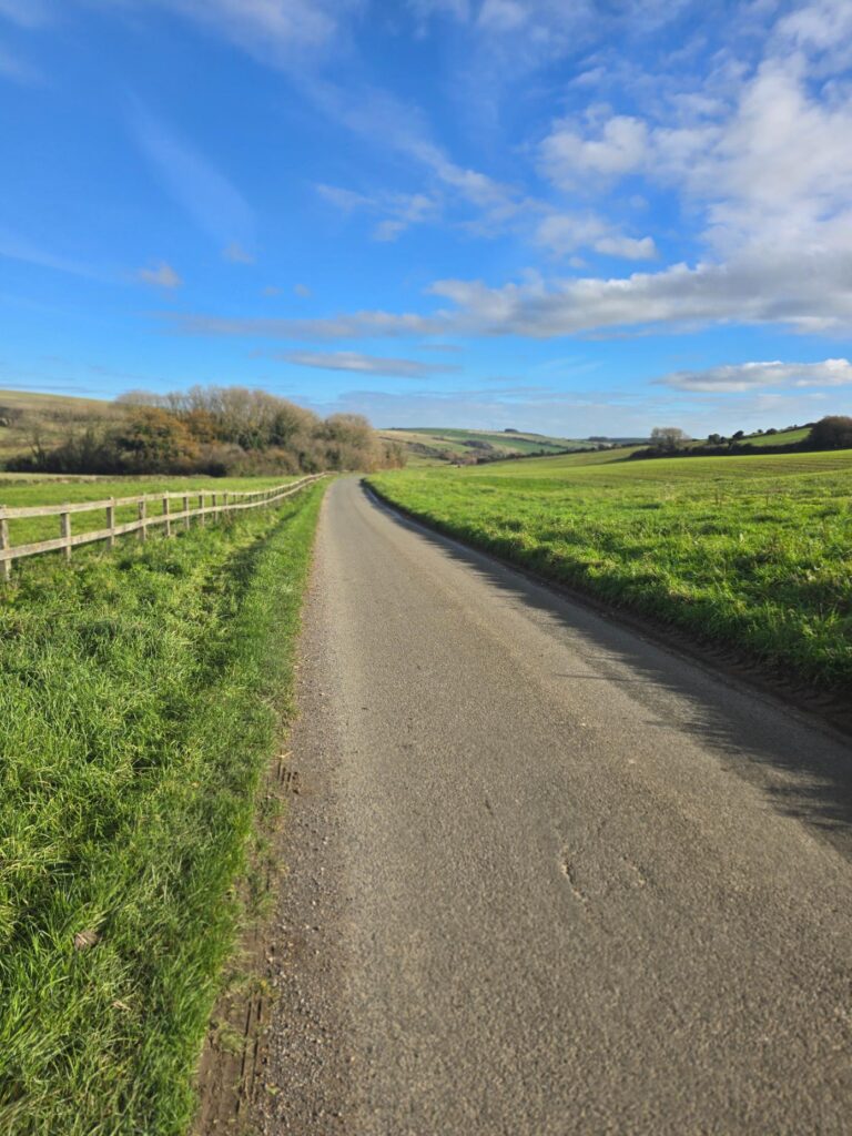
The road down to Upwey. Fence on the left and hills all the way to the end.
Just before Upwey there’s a handsome red-brick building on Friar Waddon Road. It’s a water pumping station built by the Portland council to pipe water across to the Isle of Portland, and Friar Waddon is still its main supply today. If you’ve had a cup of tea on Portland, there’s a fair chance the water came from this valley.
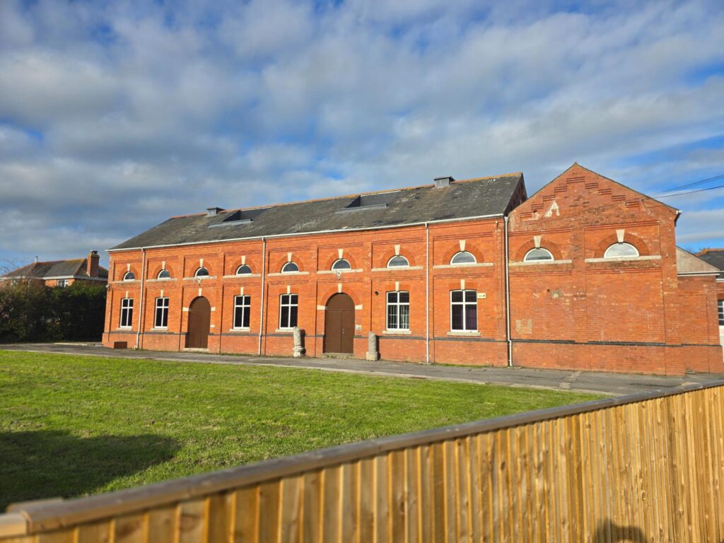
Friar Waddon pumping station. A Victorian-style building that still does the job it was built for.
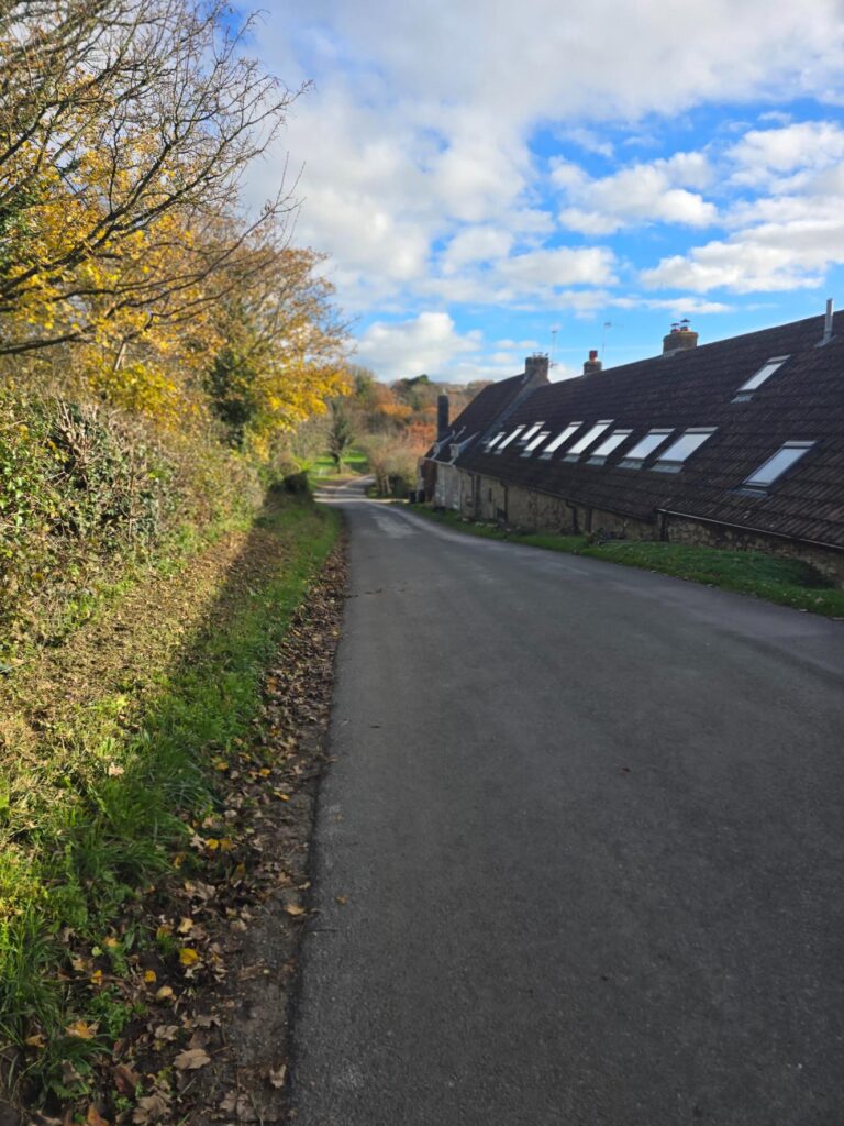
Cottages, autumn colour and the last of the downhill.
Upwey
Upwey was the part I’d been looking forward to, and it was also the part I had to run straight through.
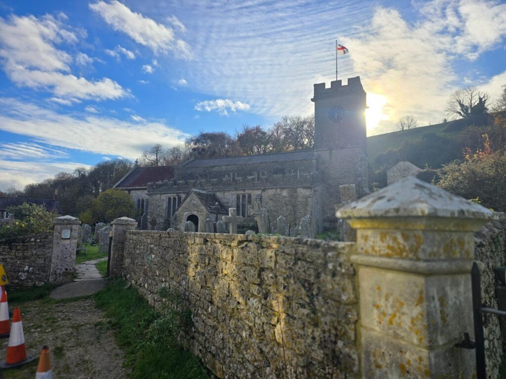
St Laurence’s, Upwey. The sign says thirteenth century, and the sun came out from behind the tower right on cue.
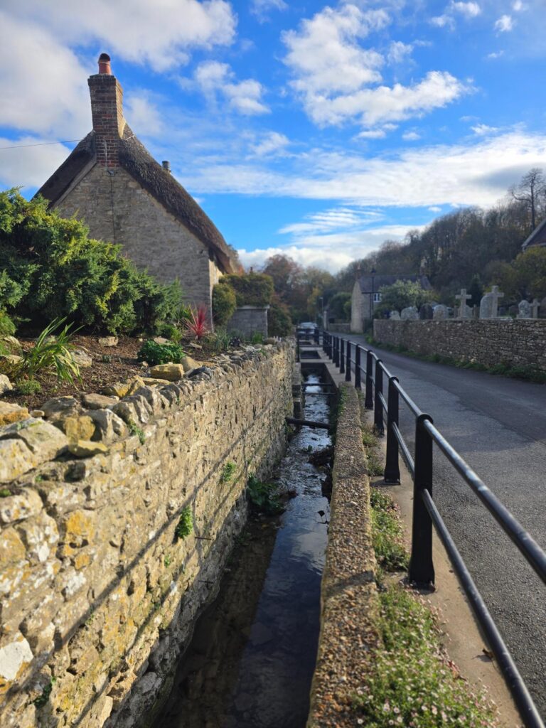
Thatch, stone and a stream running in its own channel alongside the street.
The famous Upwey Wishing Well isn’t really a well. It’s a natural spring, the source of the River Wey, which runs about five miles from here down to Weymouth harbour. The water stays at roughly 10.5°C all year round. George III was a regular visitor and is said to have drunk from a gold cup there. The story goes that the cup later became the original prize for the Ascot Gold Cup. I can’t vouch for that, but it’s a good story and I’m keeping it.
The tearooms were open and the gardens were right there, but I couldn’t stop. If I’d sat down with a scone at mile five, I don’t think I’d have got up again. I’ll come back for it, which is partly the point of all this.
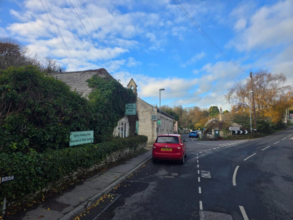
Upwey Wishing Well Tearooms & Water Gardens. Next time. Definitely next time.
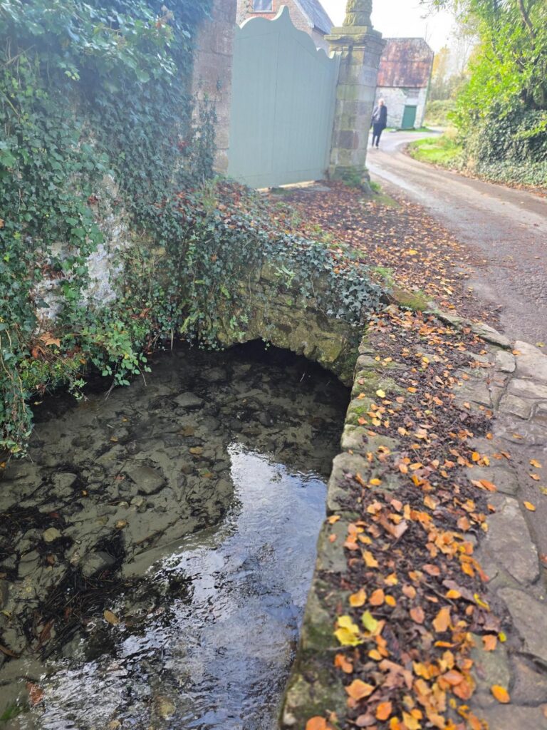
The Wey, a few hundred yards old, slipping under a little stone arch.
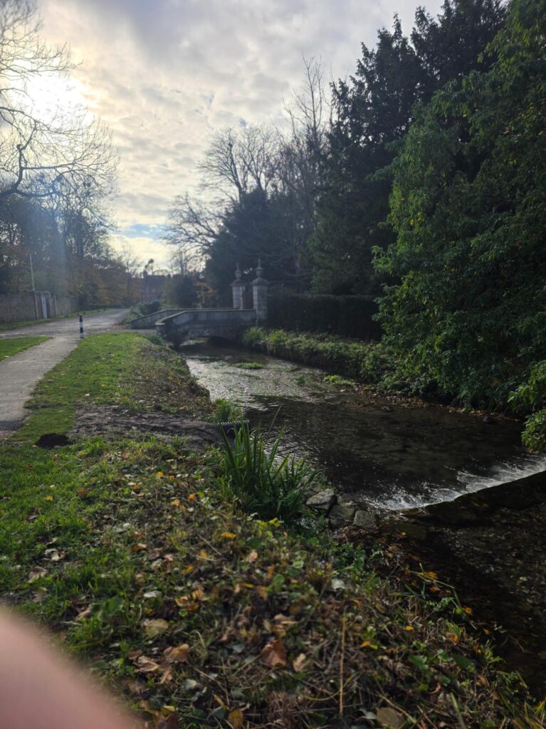
The river, the bridge and the grand gate piers. The light was gorgeous here.
Lest we forget
On the green at the junction by the Wishing Well sign there were two black silhouettes, a soldier and a sailor, each with a poppy wreath and a “Lest We Forget” plaque. Remembrance was ten days ago, but they were still there. I slowed down and took a photo.
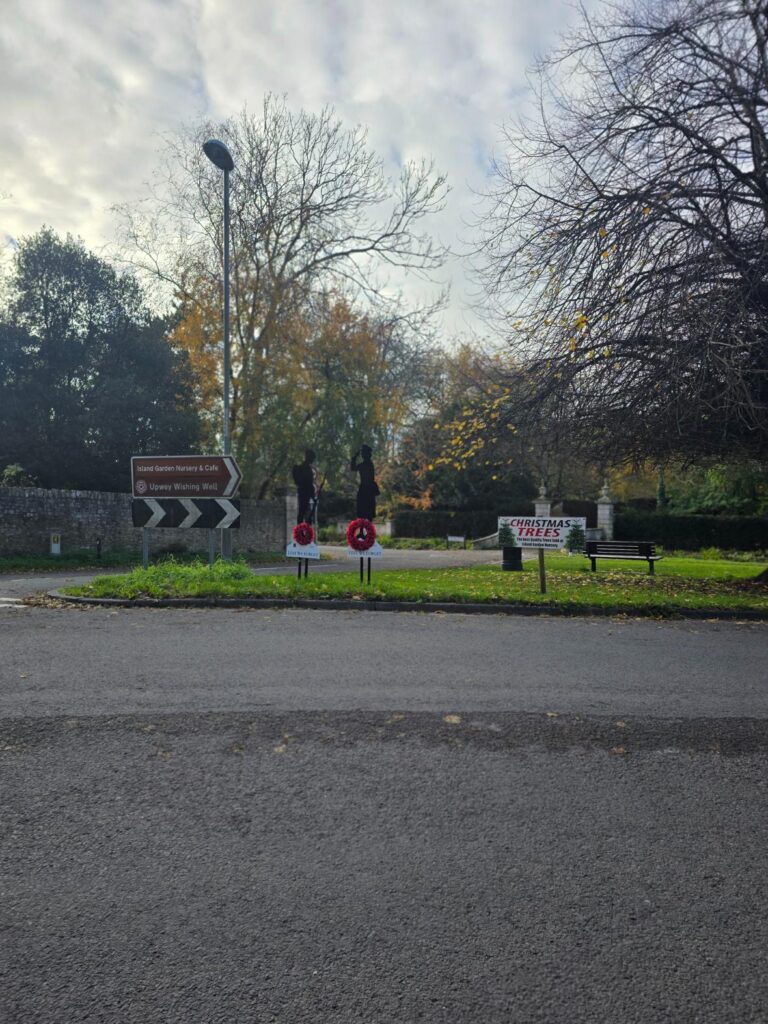
Upwey, November. Two silhouettes, two wreaths.
I didn’t know it then, but I’d see the other side of that story a few miles later.
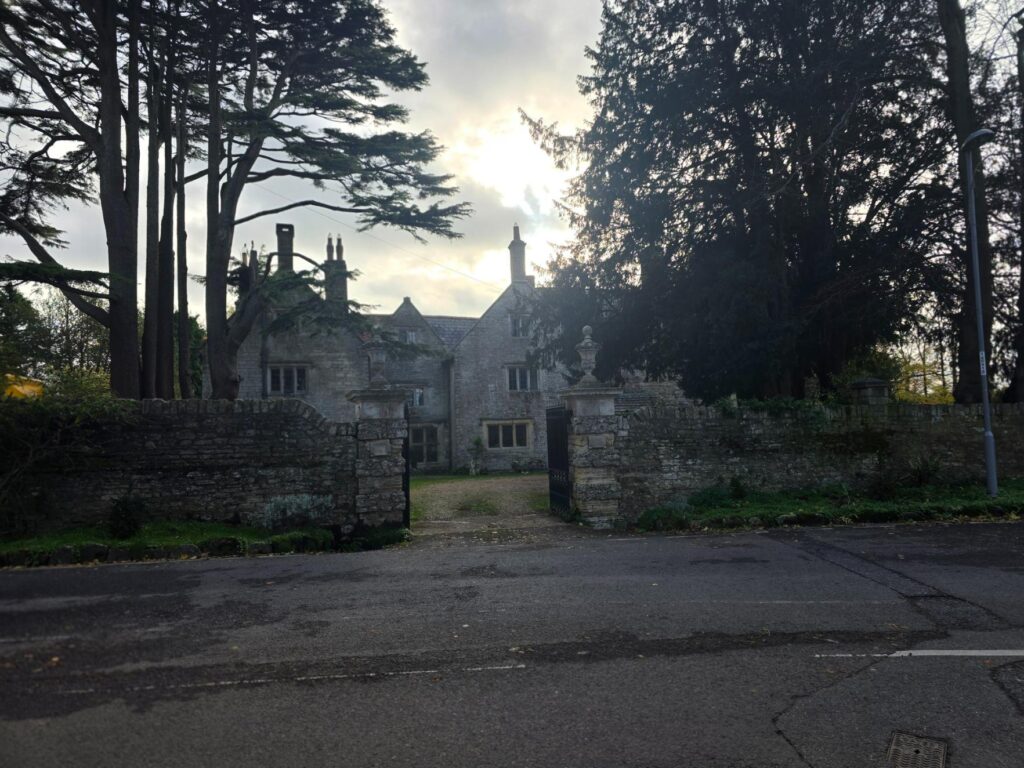
An old stone manor house behind its gate piers, dark against the afternoon sky.
Broadwey and Nottington
Broadwey is the busy bit: a main road, traffic and a short stretch of suburb. It’s the price of the loop, and it didn’t last long. By Nottington I was at halfway and, honestly, I felt good: steady breathing, the legs settled. It was the best I’d felt on a long run since August.
Nottington is tiny, but it once had a spa. In 1830 a lofty octagonal pump room and baths were built here for people to take the waters. The building still stands as a private house, now called Spa House. I didn’t spot it on the day, so that’s another one for the list.
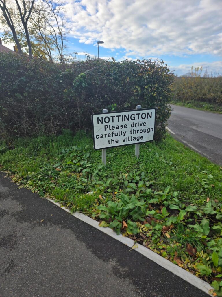
Nottington. “Please drive carefully through the village.” I ran carefully, which felt like it counted.
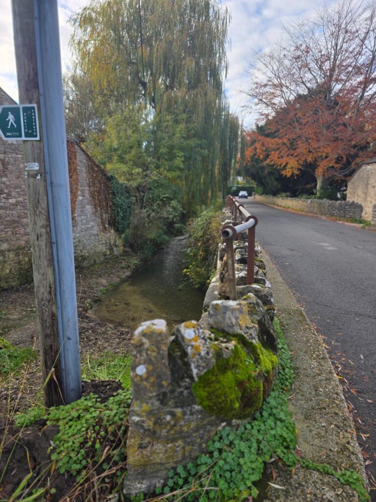
Footpath post, mossy wall, weeping willow and a copper beech in full autumn colour.
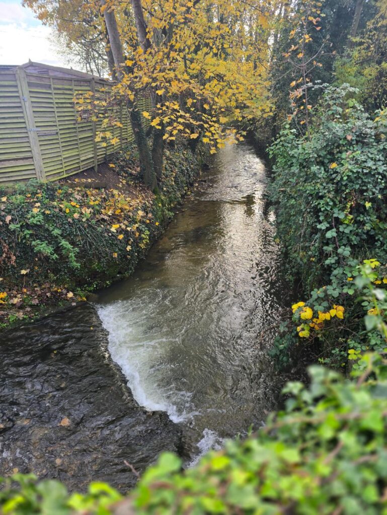
The weir under the yellow leaves. My favourite photo of the whole run.
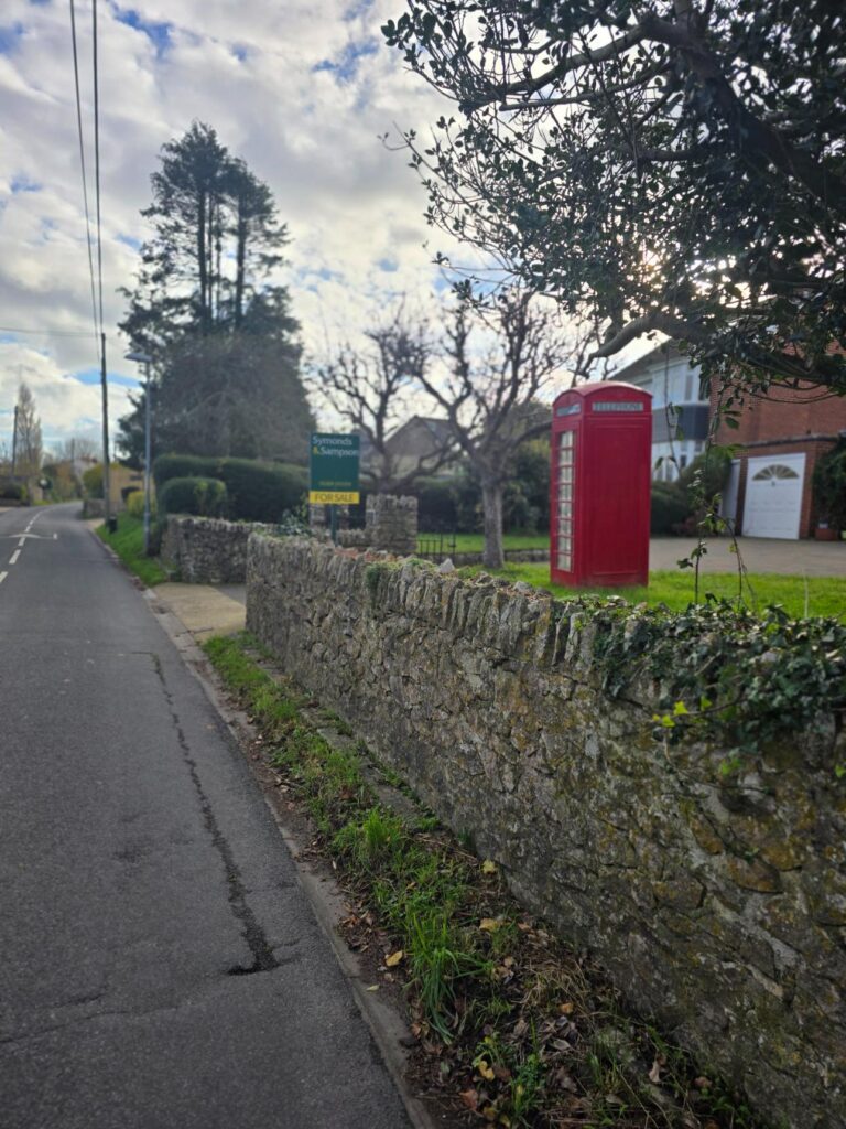
Red phone box, drystone wall. Classic village Dorset.
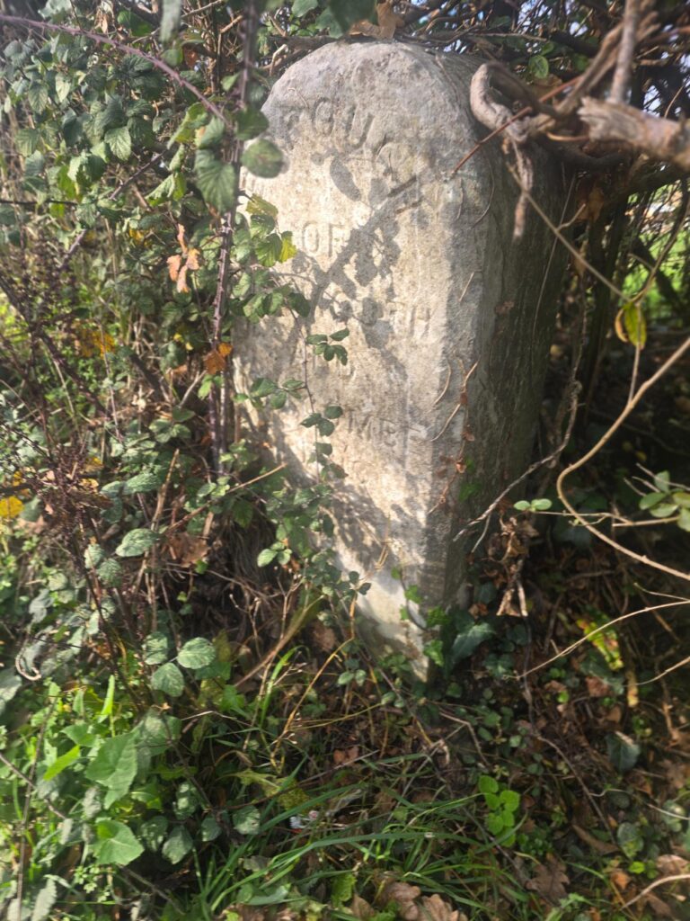
An old stone marker in the brambles. The lettering has nearly gone.
The long way west
From here the route turns back west on long, straight lanes between huge fields, with the coast somewhere off to the left.
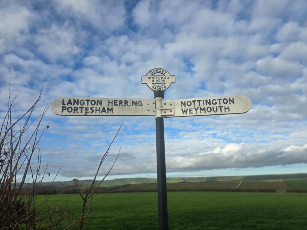
Langton Herring and Portesham one way, Nottington and Weymouth the other. I was going the long way.
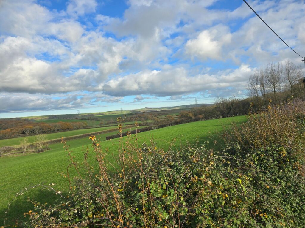
Big fields, big sky, nobody else around.
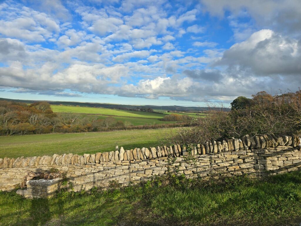
Drystone wall, rolling fields and clouds stacked to the horizon.
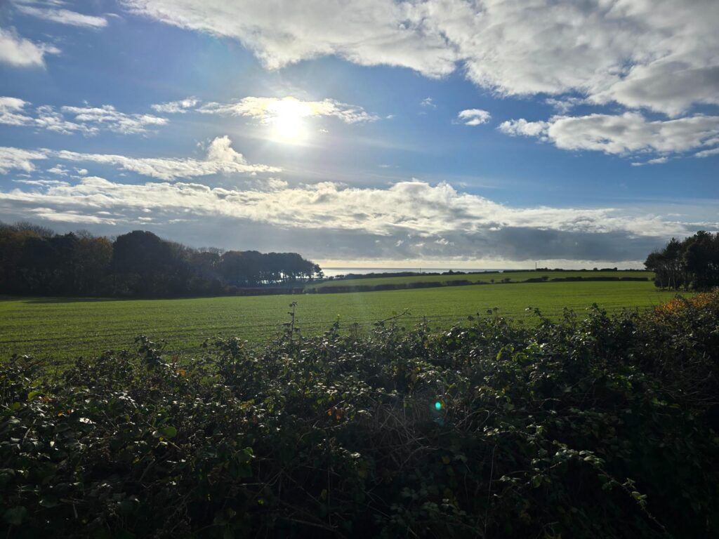
The first proper glimpse of the sea through the trees. The Fleet, and Chesil behind it.
Doubly thankful
Then came a road sign I’d never noticed in all my years of driving round Dorset.
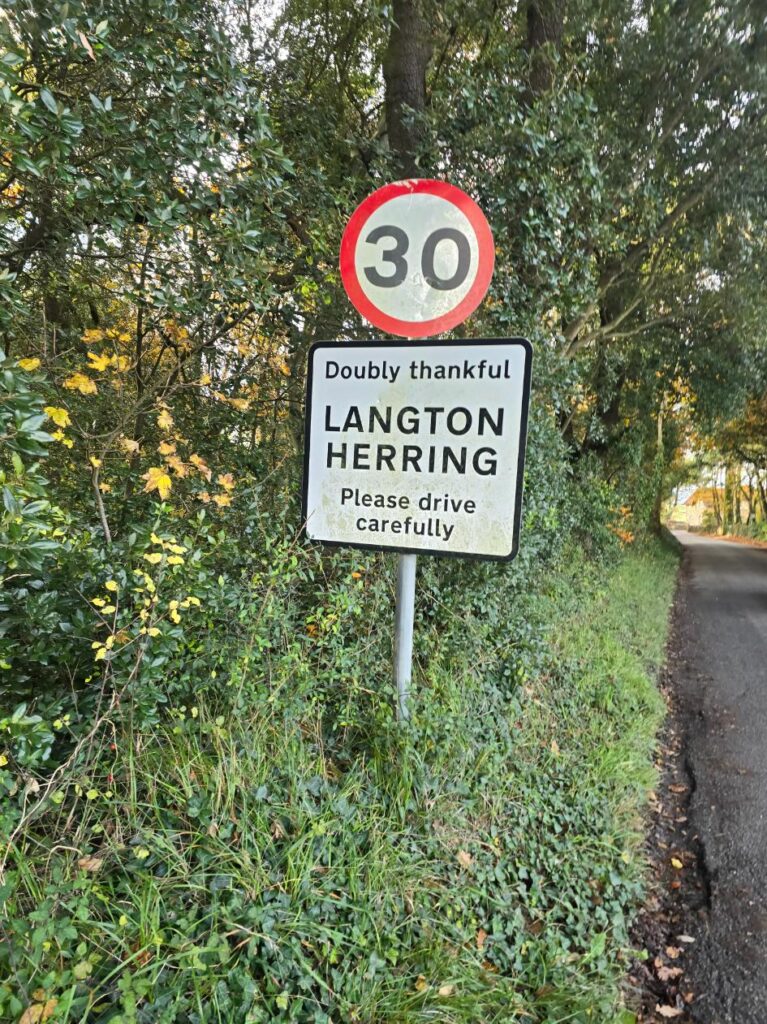
Langton Herring: “Doubly thankful”.
Langton Herring is a Thankful Village, which means every man from the village who went to the First World War came home. It’s the only village in Dorset with that distinction. It’s also doubly thankful, because everyone came home from the Second World War too. Only around fourteen villages in England and Wales can say that. That’s why Langton Herring has no war memorial.
Forty minutes earlier I’d slowed down for the silhouettes and the poppies in Upwey. Now I was running into a village where everybody came back. I’m not sure what to do with that, except to say that on the anniversary of my own coming home, I ran between the two and felt it.
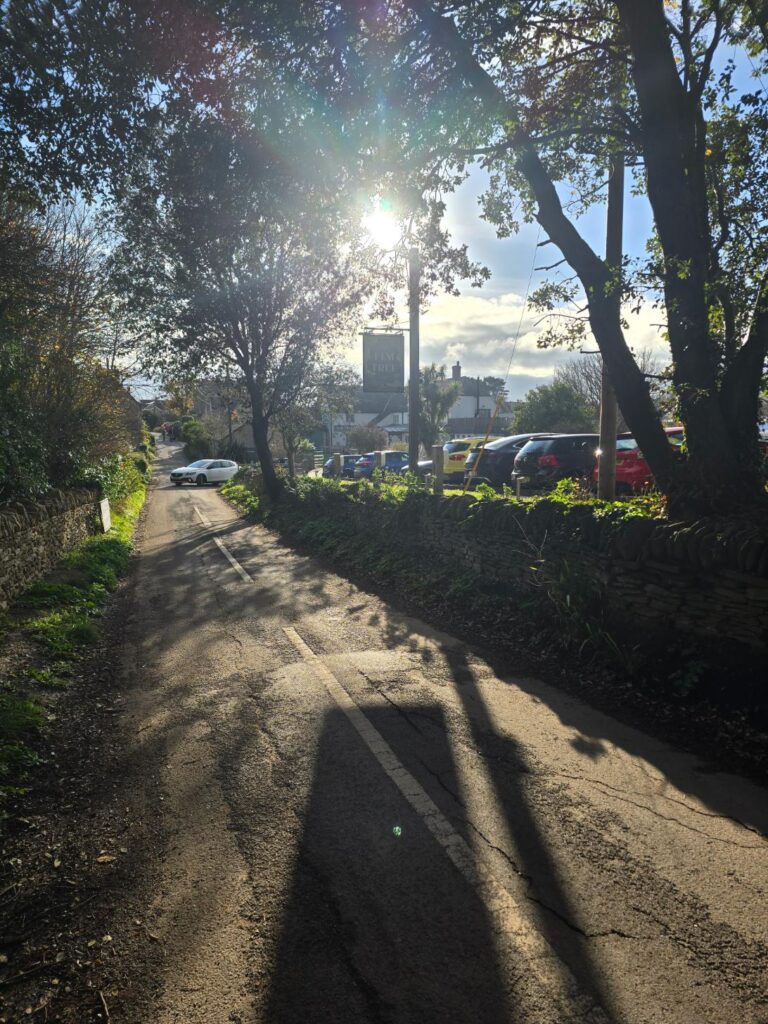
Into Langton Herring, low sun behind the trees.
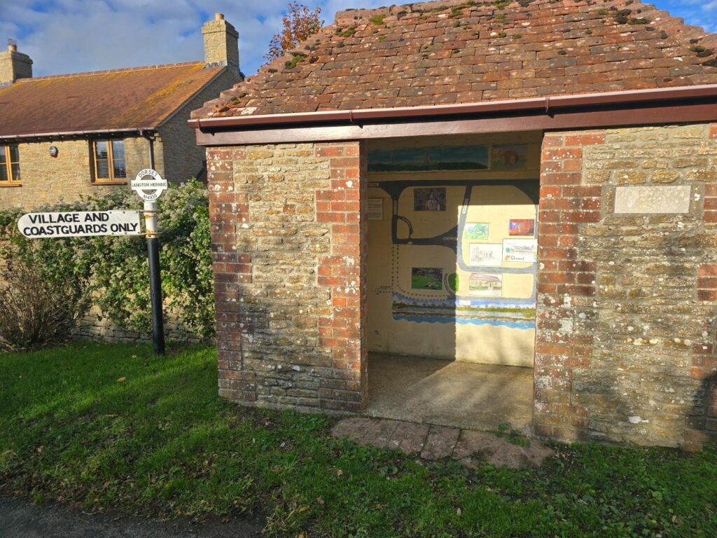
The village bus shelter with its painted map. “Village and Coastguards only.”
Miles ten and eleven
This is where it got hard. After Langton Herring the route starts to climb again. It’s not a wall like the hill at the start, just a slow, steady, sneaky drag that goes on and on. Miles ten and eleven were tough. My legs went heavy, the pace dropped, and every gate looked like a great place to lean for a minute.
But I’ve done enough slow runs with TOL to know that slowly is still going.
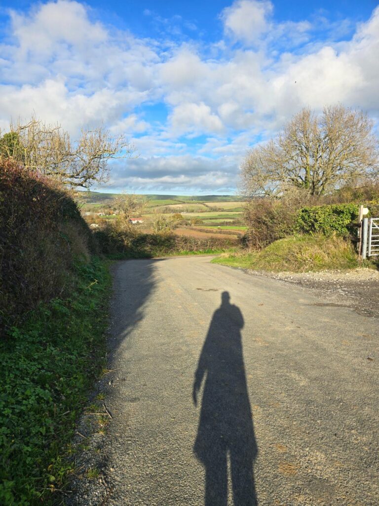
Mile ten-ish. Just me and my shadow, still moving.
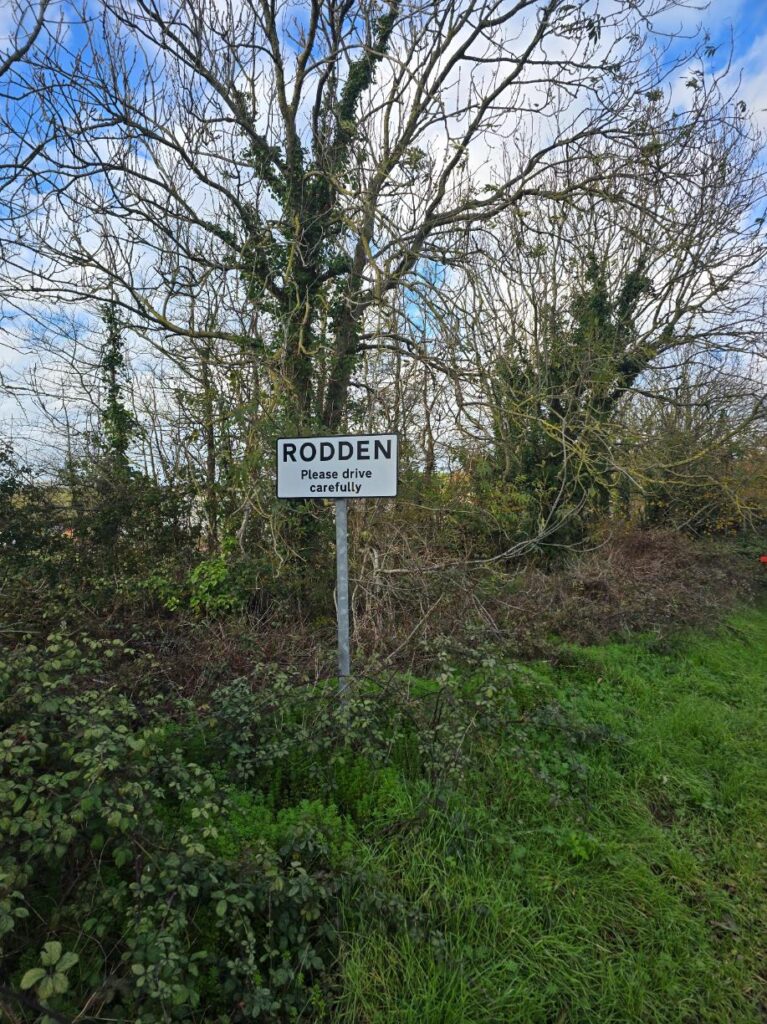
Rodden. Nearly home. Probably.
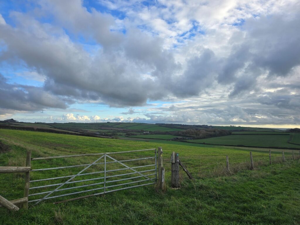
A gate, rolling fields and the clouds starting to gather.
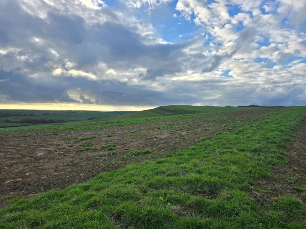
A ploughed field and the light breaking along the horizon.
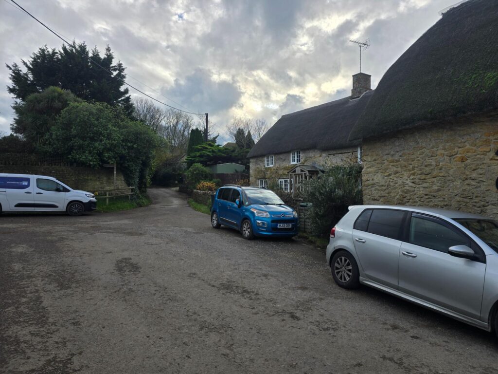
Thatched cottages on the way back into the village.
Back to Possum
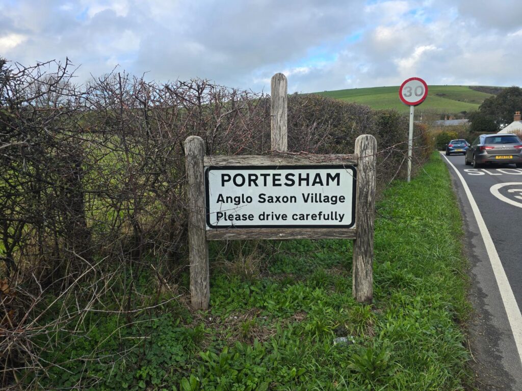
Portesham: “Anglo Saxon Village. Please drive carefully.” The best sign I saw all day.
I finished with 13.72 miles, 2:08:34 of moving time and 1,073 feet of climbing, at an average of 9:22 a mile with what felt like a hundred photo stops. It’s my first half marathon distance since being ill, and it was three months to the day.
It was moderate to hard and much hillier than the map suggested. I’ll admit the last three miles were more grit than grace. But I got it done.
Why I’m writing this one up
For a long time this site was meant to follow us to Italy. That hasn’t happened, not yet anyway, and I’ve been wondering what this place is for in the meantime.
Today gave me the answer. I’ve been training on roads that most people only ever see through a windscreen at forty miles an hour, past places like the Wishing Well, Waddon Manor, the Nottington spa and Langton Herring’s sign. So over the coming months I’m going to bring you along. My training runs are going to become a tour of the best bits of Dorset, with some you’ll know and hopefully a few you won’t. I’ll be re-running some old favourites from the Strava archive and finding new ones too.
Because this isn’t the finish line. It’s the start of a much longer road, and something’s coming.
Keep your eyes peeled.
Portesham loop, Dorset – 13.72 miles – 2hrs 08m 34s – 1,073ft – 9:22 /mi