
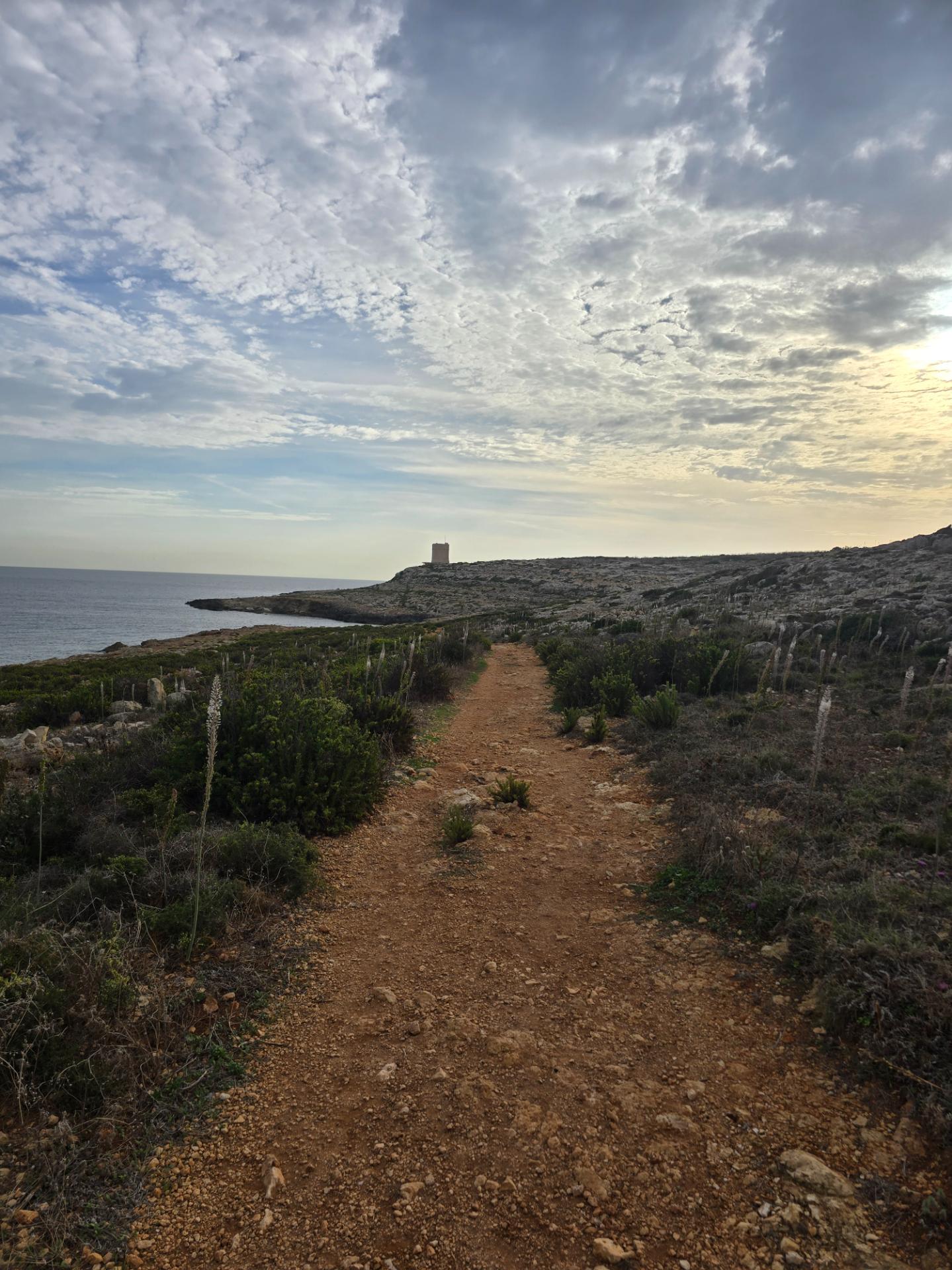
Every morning that week I’d looked out of the window at the same view: a stretch of wild, scrubby coastline and, sitting on it, old stone towers that looked like they’d been placed there by someone playing a very slow game of chess. By the second run I’d decided I wasn’t going to just look at them.
This one was on my own, which meant I could go further. It was also the morning of the first Anjunadeep club night at Neo, which meant I absolutely shouldn’t have. Three days of dancing lay ahead. The sensible plan was a gentle loop. I plotted almost ten miles instead. That’s me all over.
Across the road, into the wild
The first job was getting over the main road out of Swieqi and Pembroke, which at that hour is less a road than a test of nerve. Once I was across, everything changed. A quiet back lane, an empty kart track under a sky that looked hand-painted, and then nothing but open ground running down to the sea.
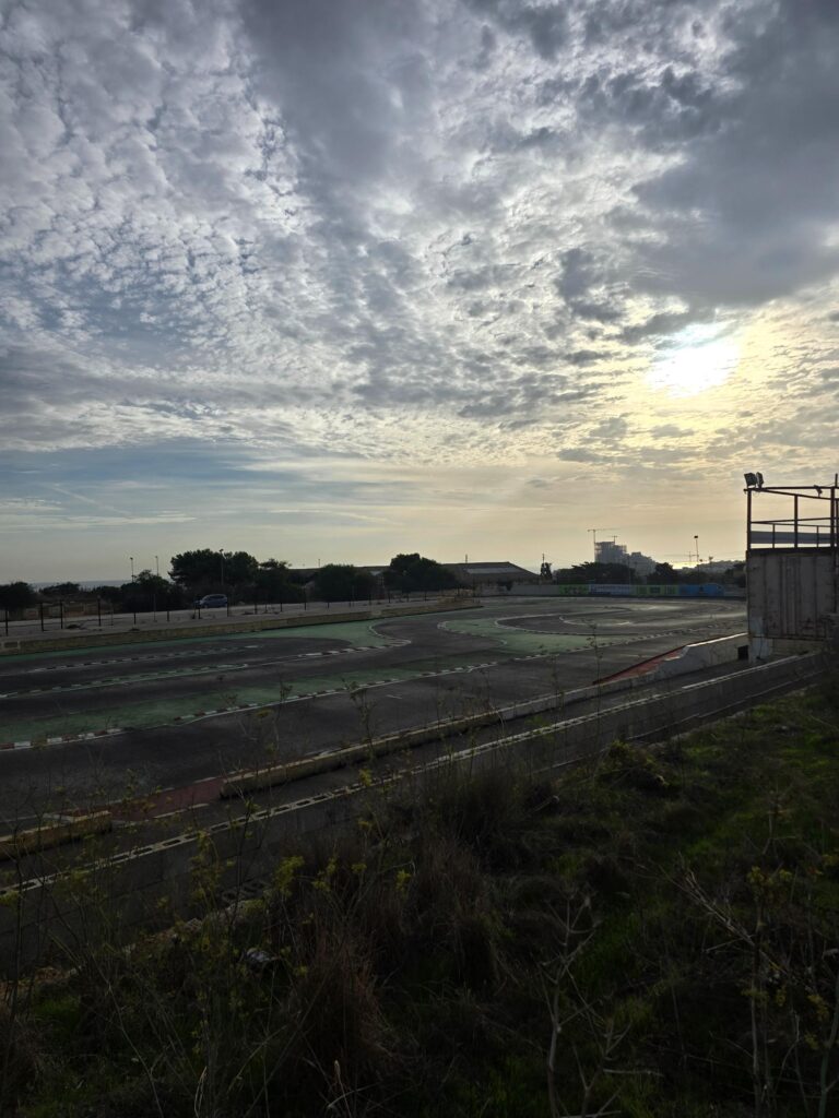
An empty kart track, a mackerel sky, and the sun trying to break through. Nobody racing this morning except me, slowly.
Malta’s street artists had been here first.
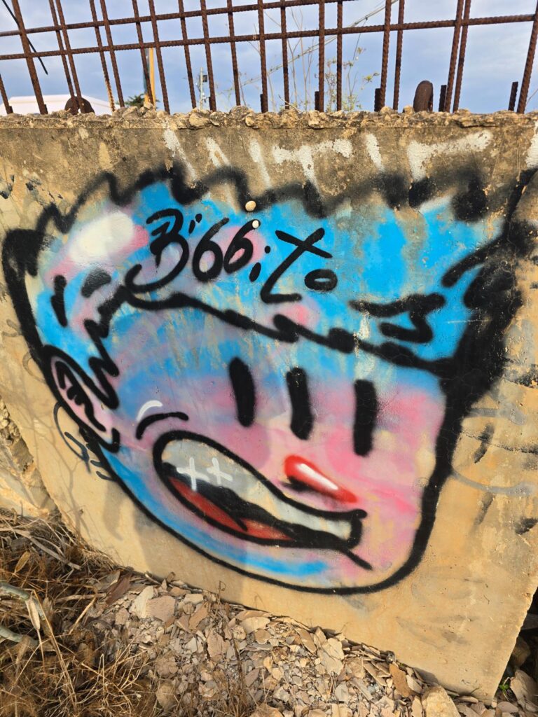
A slab of concrete, a cartoon face, and some very rusty rebar. Pembroke’s welcoming committee.
Pembroke
This stretch is the Pembroke garrigue, a Special Area of Conservation of about 97 hectares on the north coast. It doesn’t look like much at first glance: karstic rock, low scrub, rockpools, wild herbs. But it’s said to be one of the most species-rich patches of ground in the Maltese Islands, home to orchids, moths, dragonflies and reptiles, some of them endemic and some critically endangered. It’s also land the army used for generations, and the rifle ranges are still there. Nature quietly got on with it anyway.
The first turret
Down at the shoreline sits the first of my towers from the window, and up close it’s better than I’d hoped.
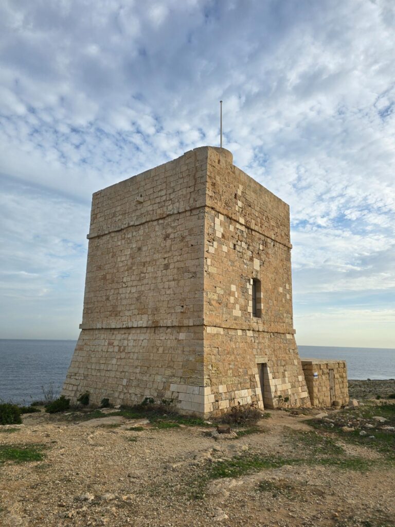
Madliena Tower, 1658. Four square walls of honey stone, the sea behind, and a sky that wouldn’t sit still.
The Towers
This is Madliena Tower, finished in 1658 by the Knights of St John and originally called Torre della Paulina. It was one of the De Redin towers, a chain of watchtowers built so that a warning of approaching corsairs could be passed along the coast, tower to tower, by fire and smoke. From here you could see St Mark’s Tower to the west and St George’s Tower to the east. The British kept it on duty for another three centuries. They rebuilt the parapet for a 64-pounder gun that probably never arrived, built a small practice battery beside it in 1909 for £99 17s 2d (which I’d love to see an invoice for), mounted a searchlight in 1935, and added a concrete beach-gun position in the Second World War. Since 2009 it’s been cared for by the heritage foundation Fondazzjoni Wirt Artna, who restored it with European funding.
From the tower there was no path. None at all. Just a tilted shelf of broken limestone, holes, ridges and loose rock, with the sea on one side. I went very gingerly here, picking every foot placement like a man crossing a kitchen floor covered in Lego, until I eventually stumbled onto the main coastal path.
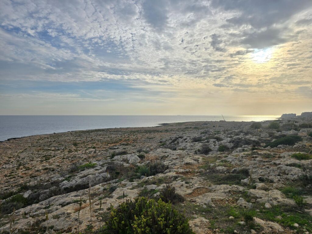
The garrigue running away to the coast. Rough limestone, scrub, and absolutely no path.
The coast path
Once I found it, the path was a joy: a strip of red earth through rosemary-scented scrub and tall white asphodel spikes, the sea glittering on the right and, in the distance, a low headland with another tower on its tip.
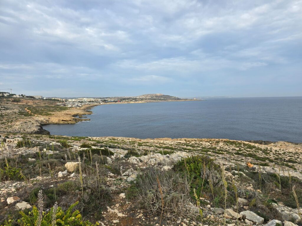
Looking west along the coast. A long bay, a hill on the horizon, and a tower out on the point.
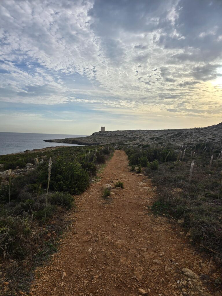
Red earth, white asphodel, and the next tower waiting at the end of it.
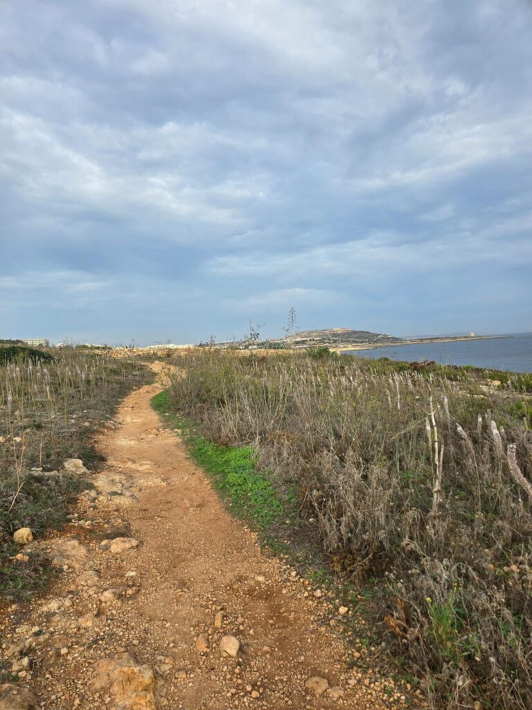
The path bending on towards the point, the hill getting closer.
The coastline here is all shelves and inlets, the water so clear you could count the stones on the bottom. On the far shore, unmistakably, the bright red slides of Splash & Fun, the water park at Baħar iċ-Ċagħaq.
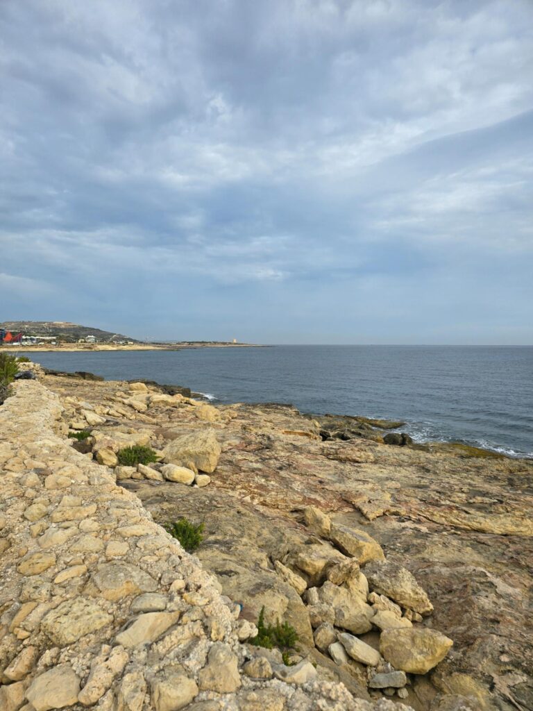
Rock shelves, the swell, and the red slides of Splash & Fun in the distance.
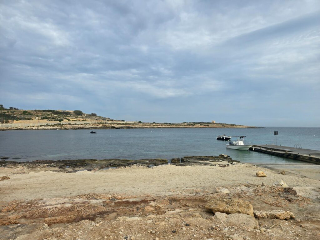
A little sandy cove with a jetty and two boats tied up. Nobody about.
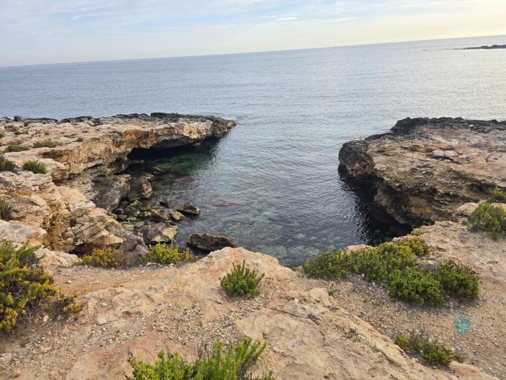
A rock inlet with water the colour of bottle glass.
The Water Park and Beyond
Past the water park the path ran through a traveller site, a scatter of caravans, boathouses and makeshift homes along the shore, and then out onto the open headland again.
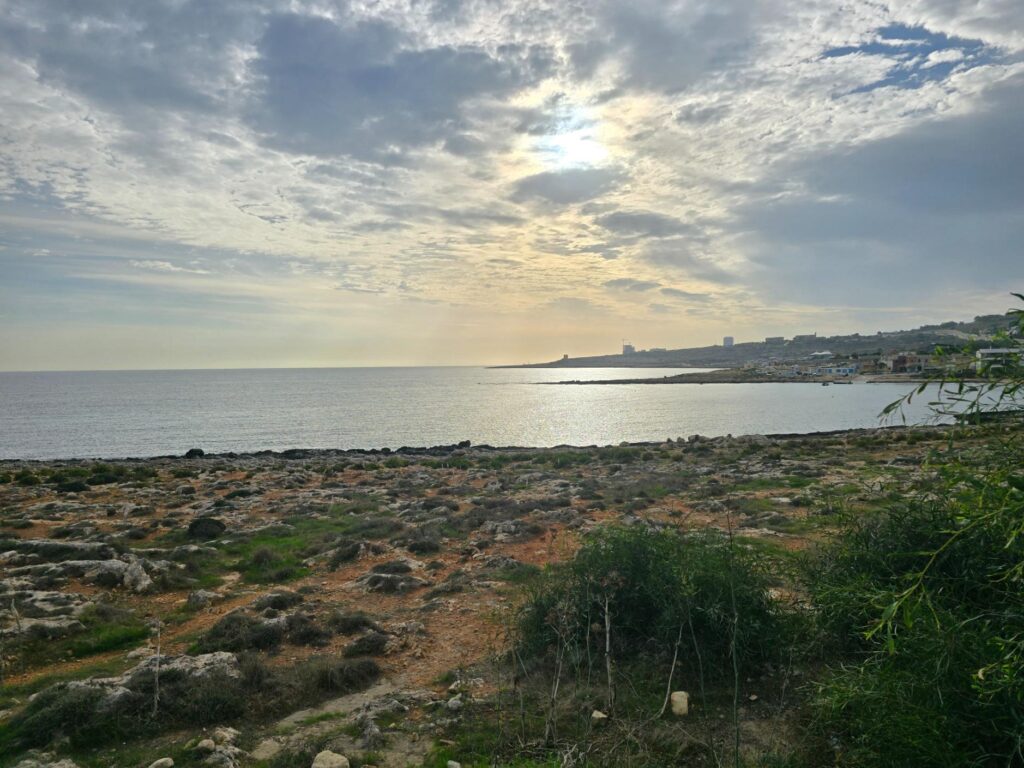
The sun breaking through over the bay, boathouses and huts gathered on the shore.
Tower number two
Out on that low point stands Għallis Tower, also 1658 and another of the De Redin towers. Its job was to guard the entrance to Salina Bay, working in tandem with Qawra Tower across the water. It was garrisoned by a bombardier and three gunners with a single three-pounder iron cannon, which feels like a lot of responsibility for four men and a very small gun.
By the 1990s it was in a sorry state, plastered, overgrown and blackened by fires inside, until the heritage trust Din l-Art Ħelwa restored it in 1995–96. It still looks after it today. In 2015 the tower was given LED lighting powered by solar panels on its roof, because it has never been connected to the grid. The tower does have one dark story: in 1955 a man’s body was found in its well, and the cashier who killed him was later convicted. It doesn’t look like a crime scene. It looks like a postcard.
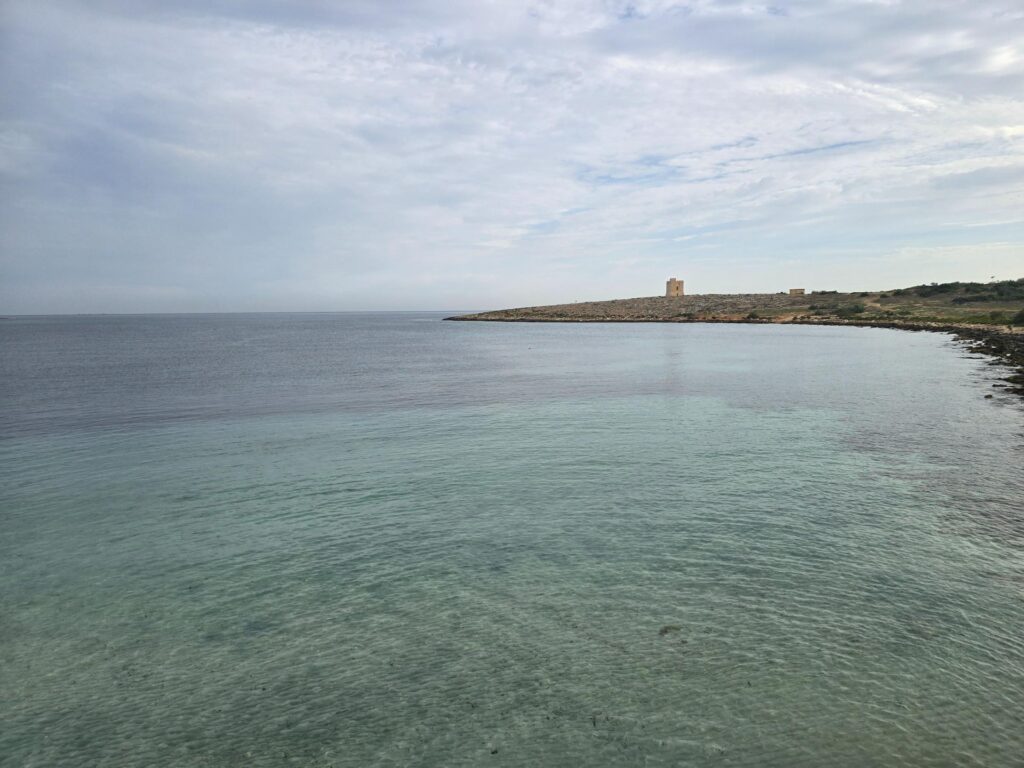
Turquoise shallows and Għallis Tower on the point. That colour is real.
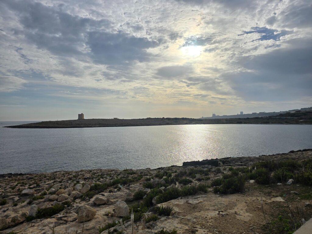
Għallis Tower and the headland in silhouette, the morning sun laying a path across the water.
The new road
From Għallis the route joins the coast road, the new main road running along the shoreline towards Salina. It’s not the prettiest running in the world, a wide pavement between a sea wall and the traffic, but the views keep paying out. And every so often the sea leaves something behind.
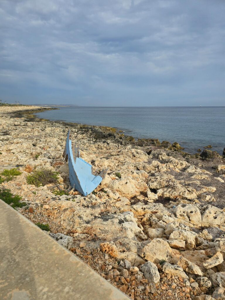
A wrecked blue boat, left where the sea put it.
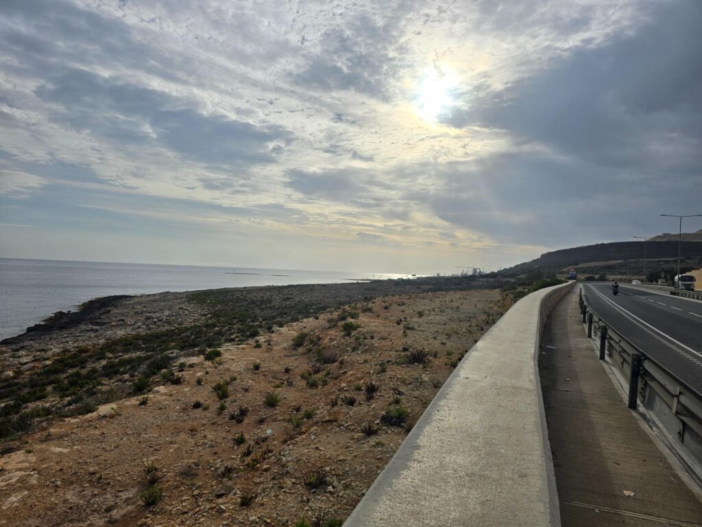
The coast road, the sea wall, and the sun burning through the cloud.
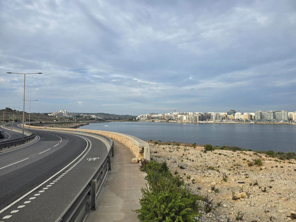
The road curves round and the bay opens up, apartment blocks lining the far shore.
The bay I thought was Qawra
This is the beautiful bay I’d been aiming for. I’d thought of it as Qawra, and the far shore is Qawra, but the water itself is Salina Bay. Its name comes from the salt pans at its head, which the Knights of St John built and which became Malta’s largest man-made salt pans, producing around 4,000 tonnes of coarse salt a year at their peak. Cheap imported table salt killed the trade, but in 2021 the pans, now part of a BirdLife Malta nature reserve, started making salt again.
Across the water, at the very tip of Qawra Point, is Qawra Tower, the oldest of the lot, completed in 1638 and given a gun battery in 1715. These days it’s a restaurant, and the old battery has become a swimming pool. The Knights’ watchtowers have had varied retirements.
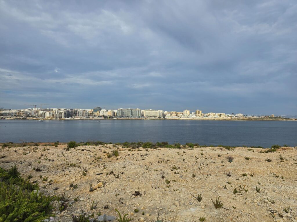
Qawra and Buġibba lined up along the far shore of Salina Bay.
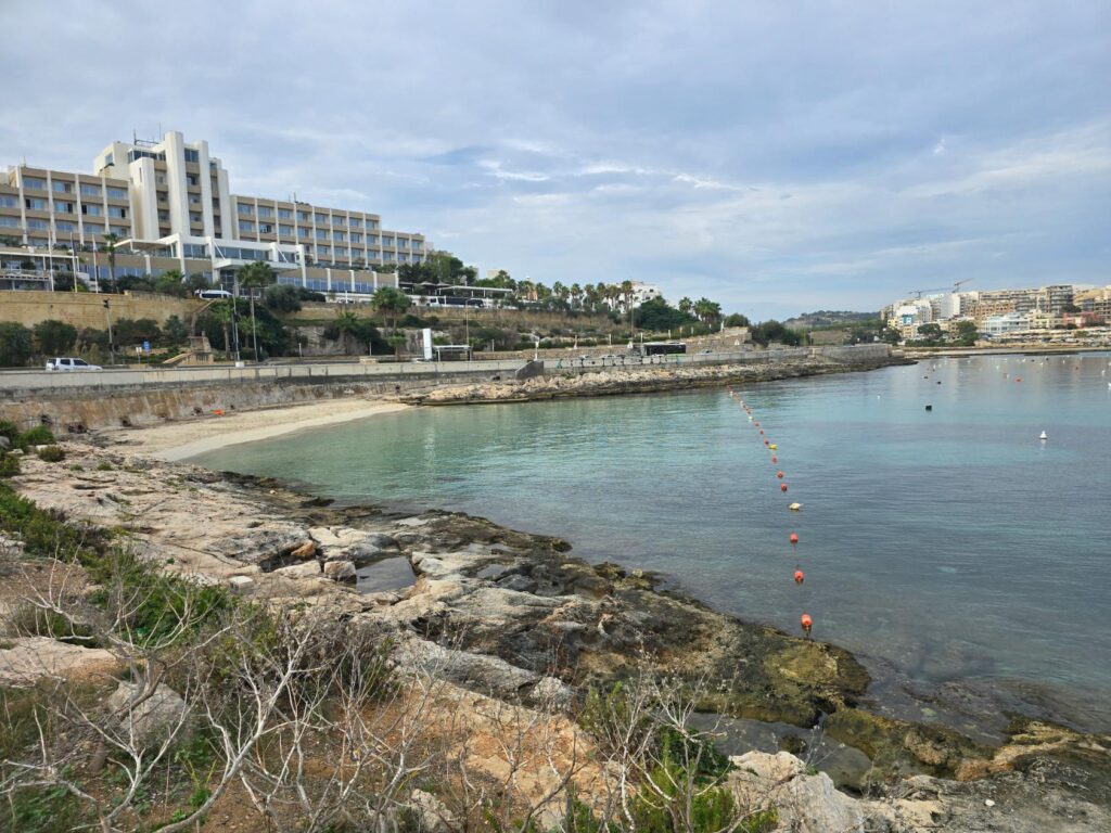
A little beach below the big hotel, a line of orange buoys marking the swimming zone.
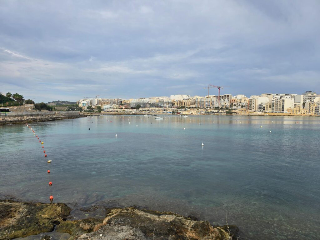
Salina Bay. Moorings, cranes on the skyline, and calm water.
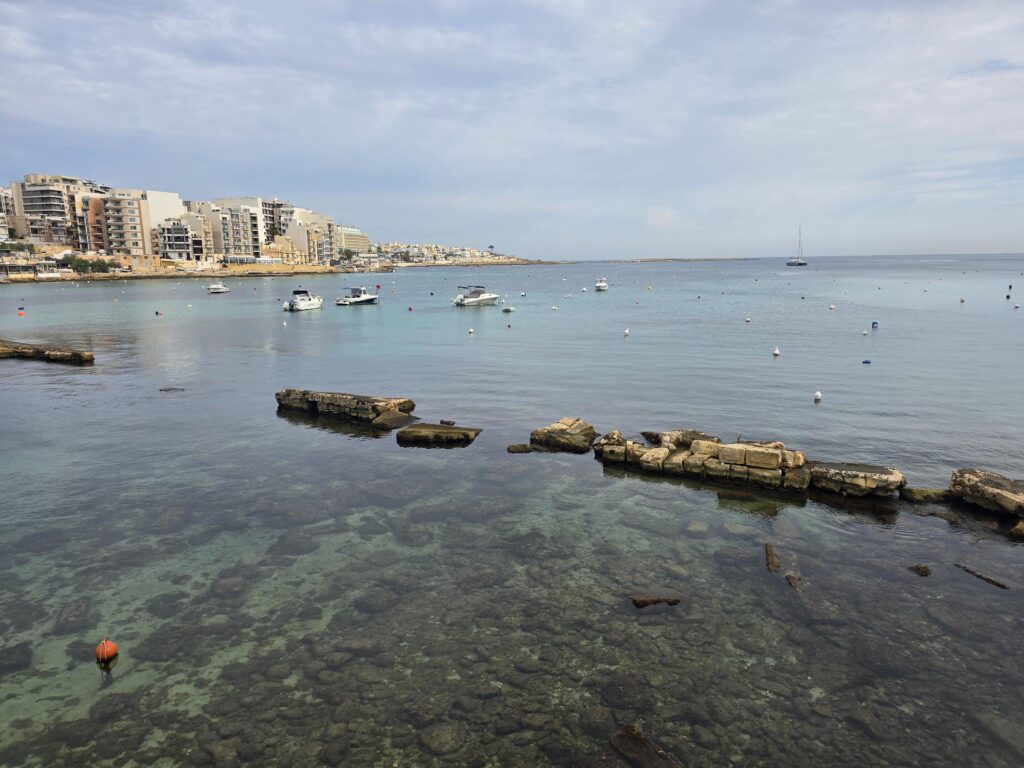
Old stonework slowly disappearing into the shallows, Qawra beyond and a yacht at anchor.
The Hill.
I knew we’d be coming to St Paul’s Bay on another day, and people had been telling us all week about Naxxar and its “real Malta” vibe. So I turned off the main road and pointed myself uphill.
Up from the bay, past an old concrete pillbox in a stone-walled corner, looking every bit the wartime relic it is.
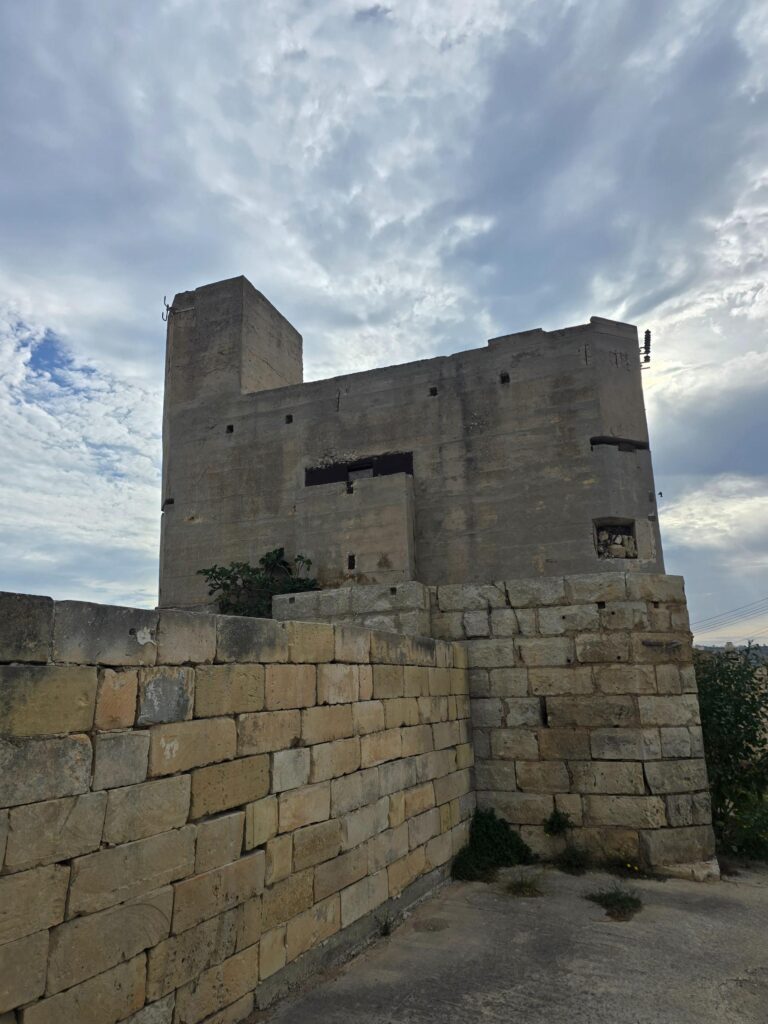
A wartime pillbox, gun slits and all, keeping watch over a car park.
The Climb
Then fields, a long stone wall, a lorry, and the ridge ahead. And at that point, glancing at the route on Strava, I realised just how far this climb went on.
Naxxar sits on top of the escarpment that runs right across Malta, the same natural wall the British built the Victoria Lines along in the 19th century, precisely because it’s so hard to get up. They had a point.
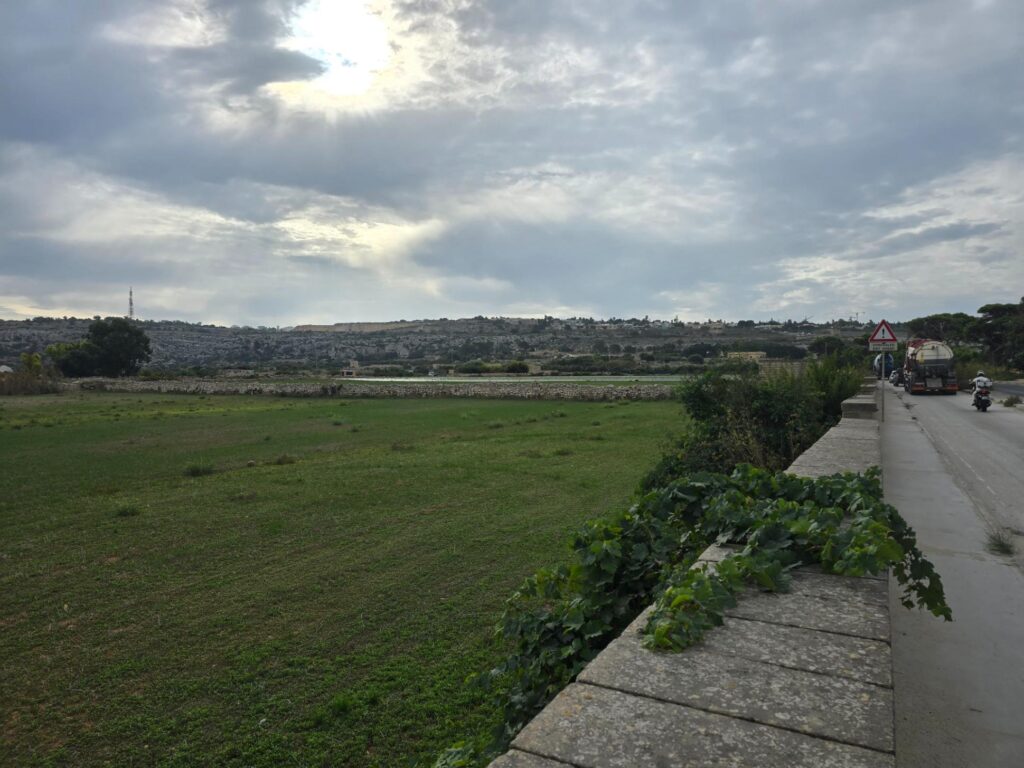
Fields below the ridge, the sun breaking through, and the escarpment I was about to find out about.
Stopped in my Tracks
I got a fair way up. I want that on the record. I kept running longer than I thought I would, past villas and dry-stone walls, with the view behind getting bigger every time I looked back. And then the road started to zig-zag, and that was that. Too steep. Stopped in my tracks. I walked the switchbacks with my hands on my hips like a man looking for his car keys.
The Strava title says it best: could not make the hills all the way up to Naxxar. Almost two miles of climbing.
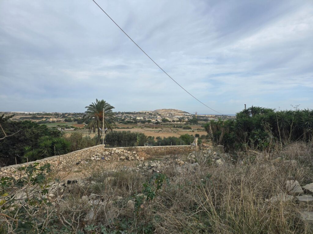
Looking back down from the climb. Palms, fields, and a long way down to where I started.
San Pawl tat-Tarġa
At the top, before Naxxar proper, is San Pawl tat-Tarġa, and it’s worth the climb on its own.
First, Villa Arrigo, all columns, balustrades and flags, originally known as Villa Garcin. The Arrigo family bought it in 1986 and it’s been a venue for weddings and state dinners ever since. As a wedding DJ, I’m professionally obliged to mention it.
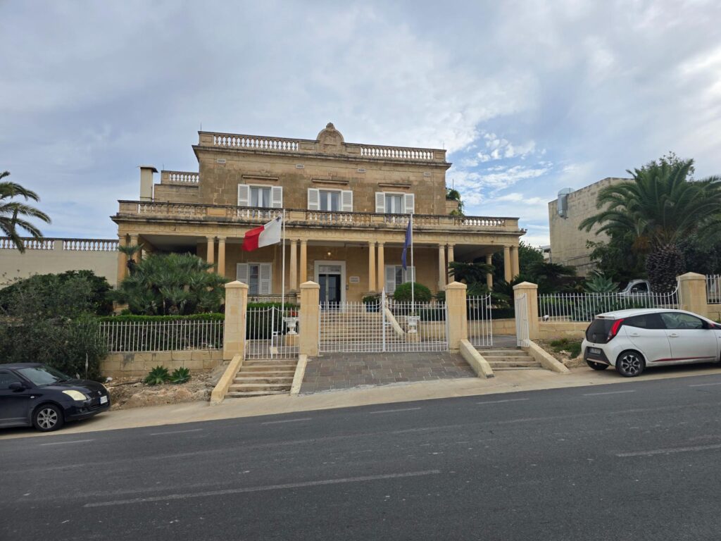
Villa Arrigo. Columns, palm trees, two flags and one very grand set of steps.
St Paul & Town Centre
Then St Paul himself, arm raised, book in hand, standing on a weathered stone plinth with an iron lantern at his side. Naxxar’s motto is Prior Credidi, “First to Believe”: local tradition says the people of Naxxar were among the first to help St Paul and his companions after the shipwreck, and the saint is everywhere up here. Tarġa means “step”, and this spot is tied to the story of St Paul on the island.
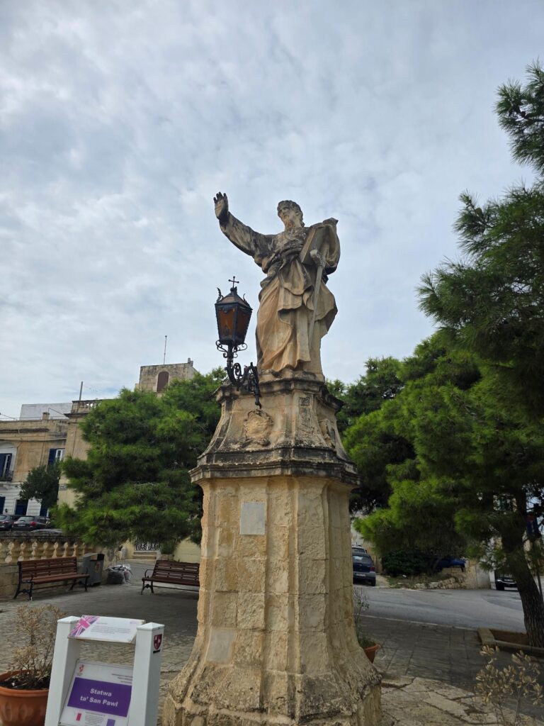
Statwa ta’ San Pawl. Arm up, book out, mid-sermon.
Chapel
Just beyond him is the little Chapel of St Paul, built in 1696, with Per Evangelium Ego Vos Genui carved over the door. It’s a line from St Paul’s first letter to the Corinthians: “through the gospel I have begotten you”.
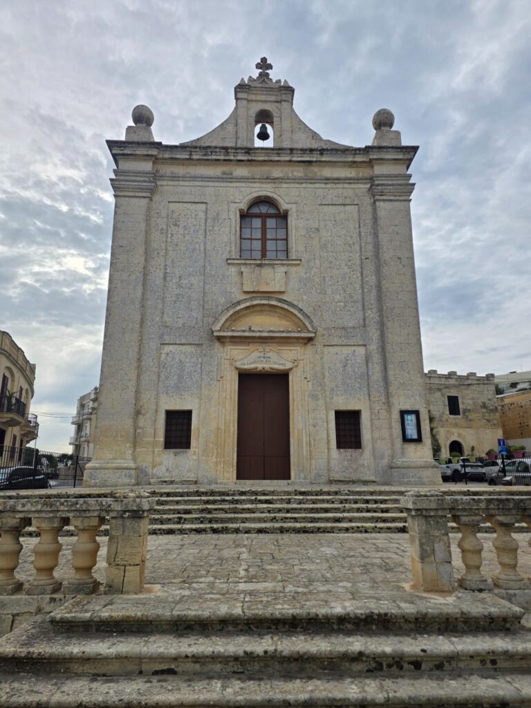
The Chapel of St Paul, 1696. Bell-cote, two stone spheres and a long flight of steps.
Gauci Tower
And right next to it, Gauci Tower: a fortified family home with machicolations along the top, built before 1548 by Francesco Gauci to protect his family from corsair raids, at a cost of 400 scudi. In 1548 the Knights requisitioned it to house the captain of the Naxxar militia. Gauci petitioned against it and got his tower back on 16 May 1548. The Order built the nearby Captain’s Tower instead. Even in the 16th century, apparently, you could fight the planners and win. It’s still privately owned, and somebody has put pot plants on the balcony.
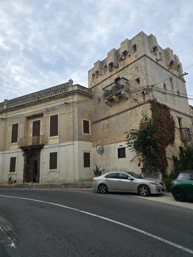
Gauci Tower. A 16th-century defence against pirates, now with pot plants, bougainvillea and a convex traffic mirror.
Naxxar
Into the old streets, and I slowed right down. It seemed to be market day or something like it: people out, vans unloading, a general sense of a town getting on with its morning.
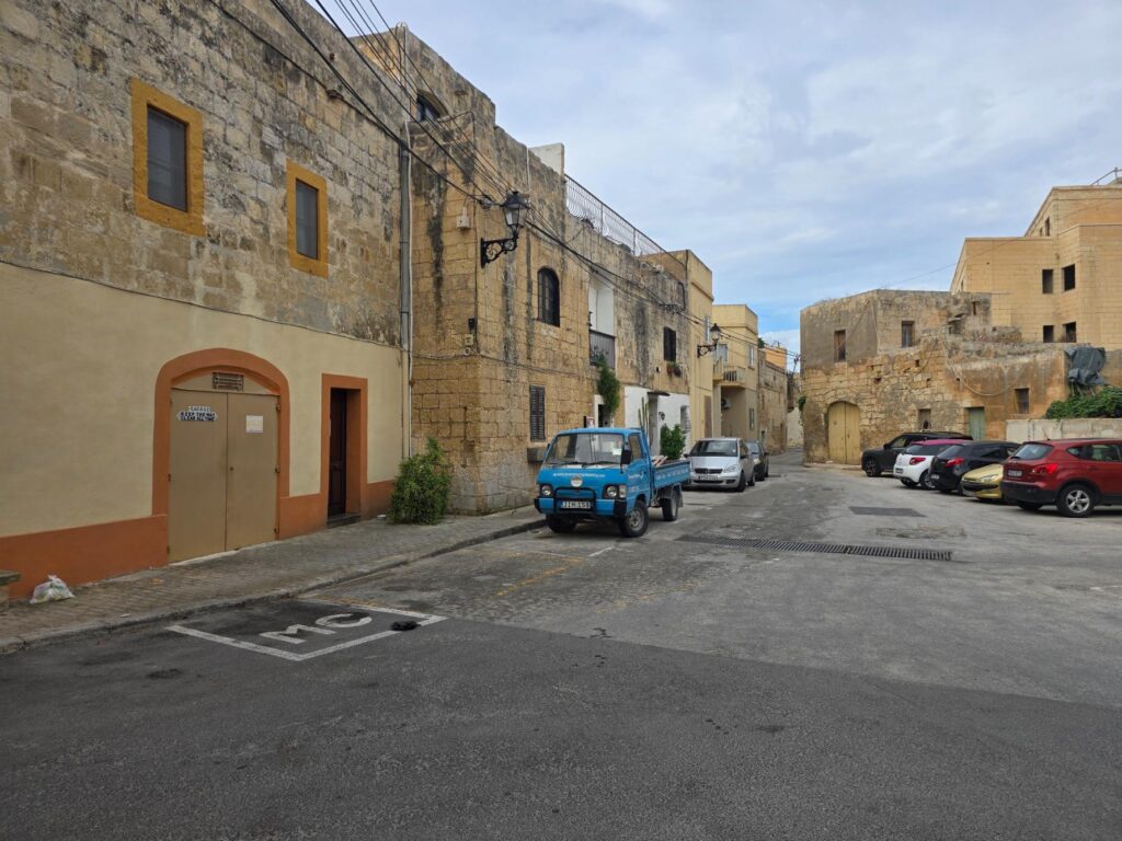
A Naxxar back street. Honey stone, wrought-iron lamps, and a little blue truck that’s seen a few market days.
And then the parish church, which stops you dead even if the hill already has.
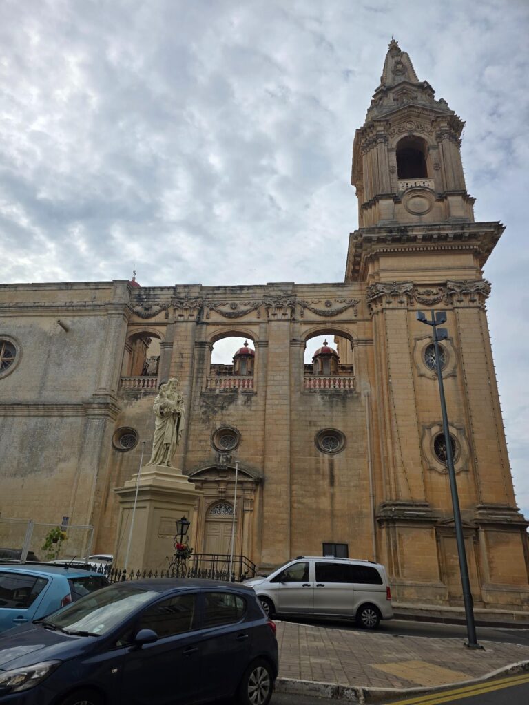
The parish church from the side. Bell tower, red domes peeping through the arches, and St Joseph out front.
300 Years
It’s the Church of the Nativity of Mary, built between 1616 and 1630 to designs by Tommaso Dingli, the same Maltese architect behind St Bartholomew’s in Għargħur from my first run. Lorenzo Gafà, who designed Mdina Cathedral, redesigned the choir in 1691, and the church was consecrated in 1732. Like Għargħur, it has two clocks on the front, one telling the real time and one painted on.
This year, across the façade, are two huge numbers: 1726 and 2026. They mark 300 years since Naxxar’s titular statue of Maria Bambina, the Infant Mary, arrived from Rome. In 1726, Naxxar was a far bigger parish than it is today, covering Għargħur, Mosta, St Paul’s Bay and Mellieħa. Over the centuries the statue gained a halo in 1894, a golden crown soon after and a silver halo in 1924. She’s carried through the streets each year for the village feast of Il-Vitorja on 8 September, and for the tricentenary the parish published a souvenir book on her history.
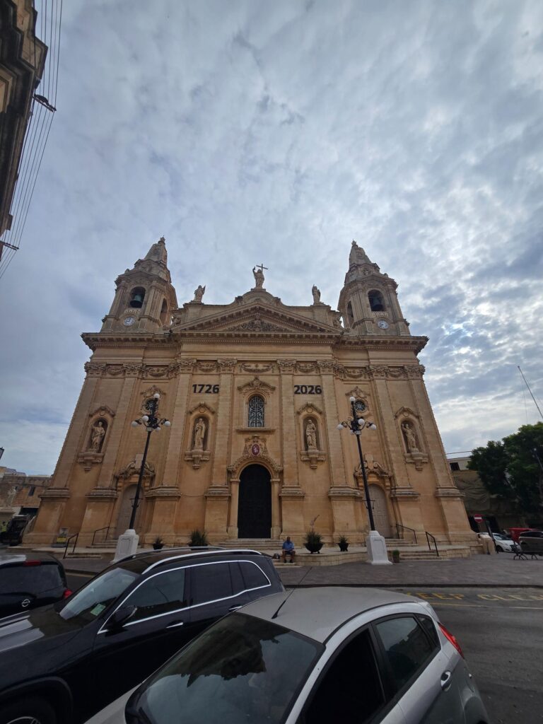
The parish church façade. Twin bell towers, saints in niches, and 1726–2026 picked out for the tricentenary.
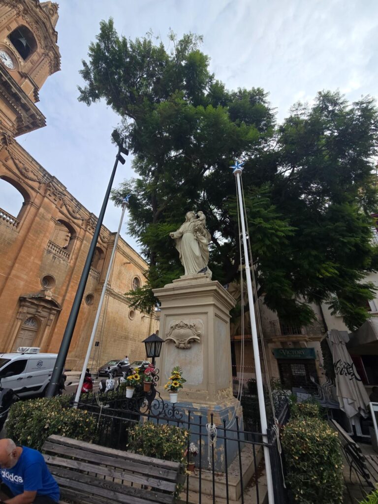
The Madonna on her plinth beneath a great jacaranda, sunflowers at her feet and festa poles still standing.
And then the music stopped
From Naxxar it was a long, gentle downhill and a run of main roads. Then, mid-track, my music cut out. My phone was dead. I hadn’t charged it overnight.
So there I was, somewhere between Naxxar and home, with no map, no music, no Strava and only a rough idea of where I was. I have a generally good sense of direction, so I kept heading towards the main road and guessed. At the next roundabout something clicked: I recognised it from the run with Sarah the day before, and I knew exactly which road to take. The rest was familiar ground all the way back. Same route, same views, so no new photos, which is just as well, because I couldn’t have taken them.
My watch, unlike my phone, had been charged, which is the only reason the map closes the loop.
Why I shouldn’t have, and why I did
Nearly ten miles and two big climbs on the morning of the first club night, with three days of dancing to follow. Not my smartest piece of planning. But I’d seen the towers from the window every morning, and now I’ve stood next to them, picked my way across the rocks between them, and walked up the hill the British chose to defend because nobody could get up it quickly. I can confirm that.
The dancing that night felt fine. The stairs at Neo, less so.
Pembroke, Salina & Naxxar, Malta – 9.72 miles – 1hr 48m 43s – 643ft
Full resolution prints available.
Malta run number two. Further than was wise, which was rather the point.
More from Malta
- Malta run number one: Swieqi. Għargħur. Madliena. Excelsior, Apparently. Malta 4m With Sarah