
We’d already done the other direction. Several walks down towards St Julian’s and the strip: the bars, the beach clubs, the promenade, the beaches. Lovely, in its way. Busy, in every way. It was Malta, but it wasn’t quite the Malta we’d come hoping to find.
So on the first morning our legs were up to it, we turned round and ran the other way. Straight up.
Up first, questions later
There is no gentle start out of Swieqi heading north. For the first half a mile or so the road simply climbs, out of the apartment blocks and between high honey-coloured walls, with the sun already sitting on our shoulders before nine o’clock in the morning. The title Strava got afterwards was not literary, but it was accurate: bloody hot and very hilly.
And then, right about the point where we were quietly reconsidering the whole idea, a ruin.
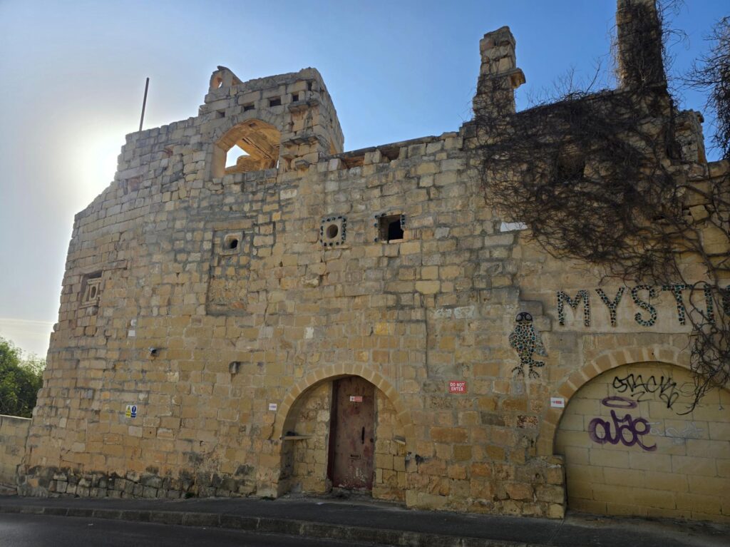
Villa Mystique. Turrets that were never finished, an arch where a roof should be, and the morning sun coming over the top.
The Mystique
It stands at the side of the road like something left over from a film set. Tall, broken limestone walls. Half-built turrets. A window frame open to the sky. A mosaic owl on the wall, made from coloured glass. And across the front, picked out in more glass, the word MYSTIC, with the last letter disappearing into a curtain of dead creeper. Do Not Enter signs. Graffiti. Barbed wire along the top. Completely magnificent.
It’s Villa Mystique, and it turns out to be one of the stranger stories on the island. It was the creation of the Marquis Scicluna, who designed and built it himself with no formal training in architecture, using salvaged stone, arches and ornaments from houses destroyed in the Second World War, along with offcut glass from Mdina Glass for the mosaics. At various points it was a hunting lodge, a home, and in the 1960s a place for late-night jazz and dancing. It was never finished. In 2025 it was added to Malta’s National Inventory of cultural property, which feels about right. One architectural historian described it as the kind of building that stops you in your tracks and makes you ask why. We stopped. We asked. Nobody answered.
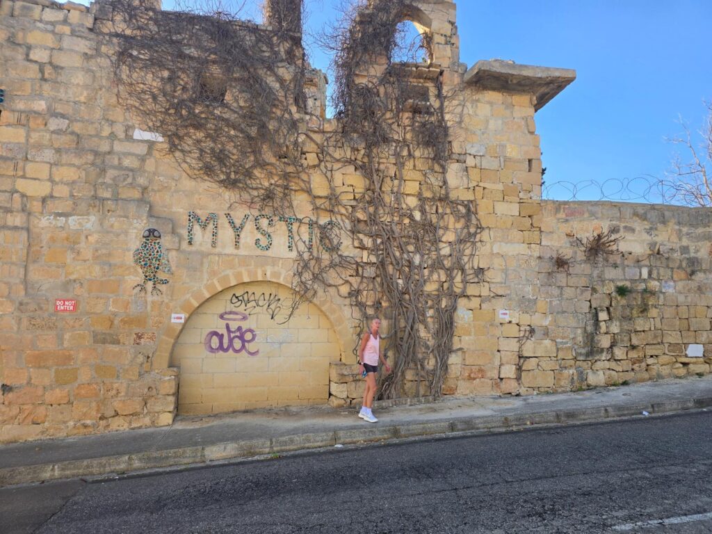
Sarah, walking past the Mystique like it’s a bus shelter. The owl is watching.
Madliena
Past the Mystique the road levels for a moment and Madliena starts to show its other face: big stone villas behind dry-stone walls, palm trees, hedges of pale blue plumbago, and a STOP painted across the tarmac that we took as general life advice.
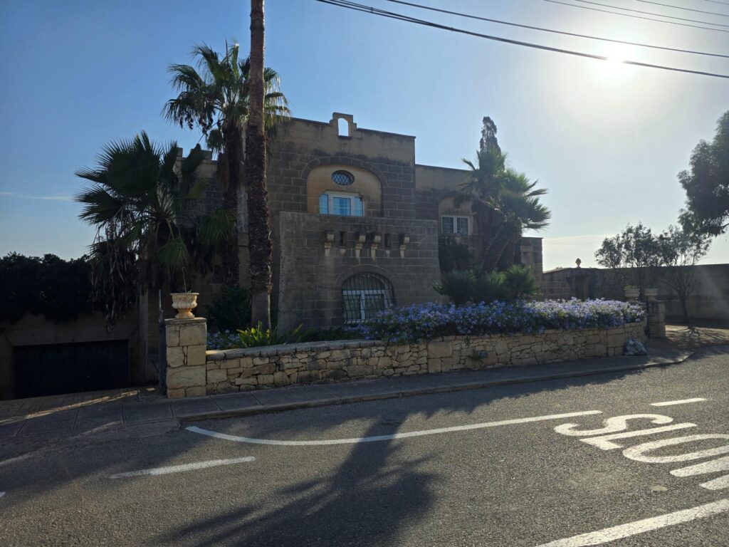
Madliena. Palms, plumbago, and a road marking we took personally.
Triq il-Madliena.
A long, straight lane between limestone walls, overhead cables strung pole to pole, and at the end of it a giant white satellite dish and a red-and-white mast. The hilltops round here carry a lot of Malta’s telecommunications, which explains the dish. Somewhere up there the island was making phone calls. Down here we were mostly making noises.
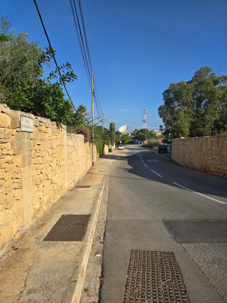
Triq il-Madliena. Stone walls, overhead wires, and a satellite dish at the top of the hill, because of course it’s at the top of the hill.
The valley
And then the wall on the left drops away and you get it all at once.
Terraced hillsides, rubble walls stepping down the slope one level at a time, fields freshly turned to a deep red-brown, olive and carob and prickly pear, a farmhouse tucked into the fold, and villages sitting along the ridge with the mast standing over them. In the distance, the coast and the towns we’d been walking around all week, suddenly small.
This is where we stopped talking. Partly the view. Partly the gradient.
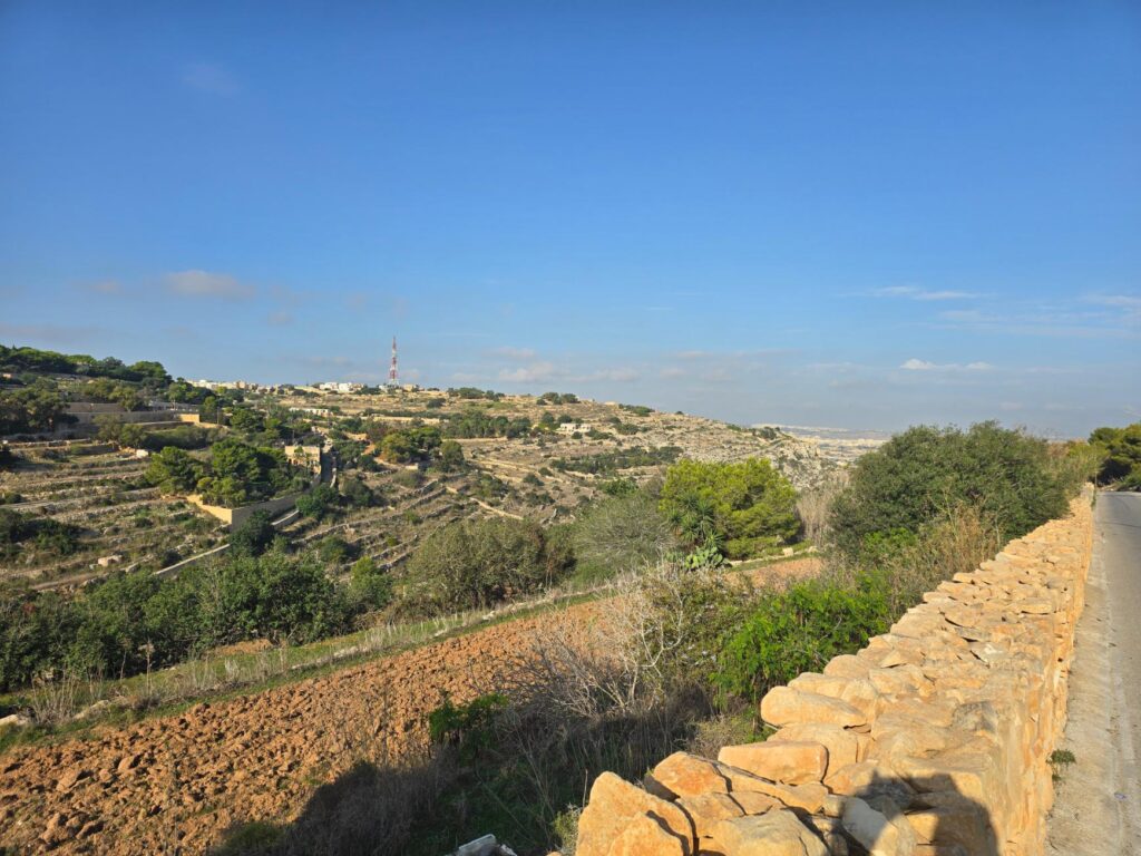
The terraces below Għargħur. Centuries of rubble walls, one field at a time.
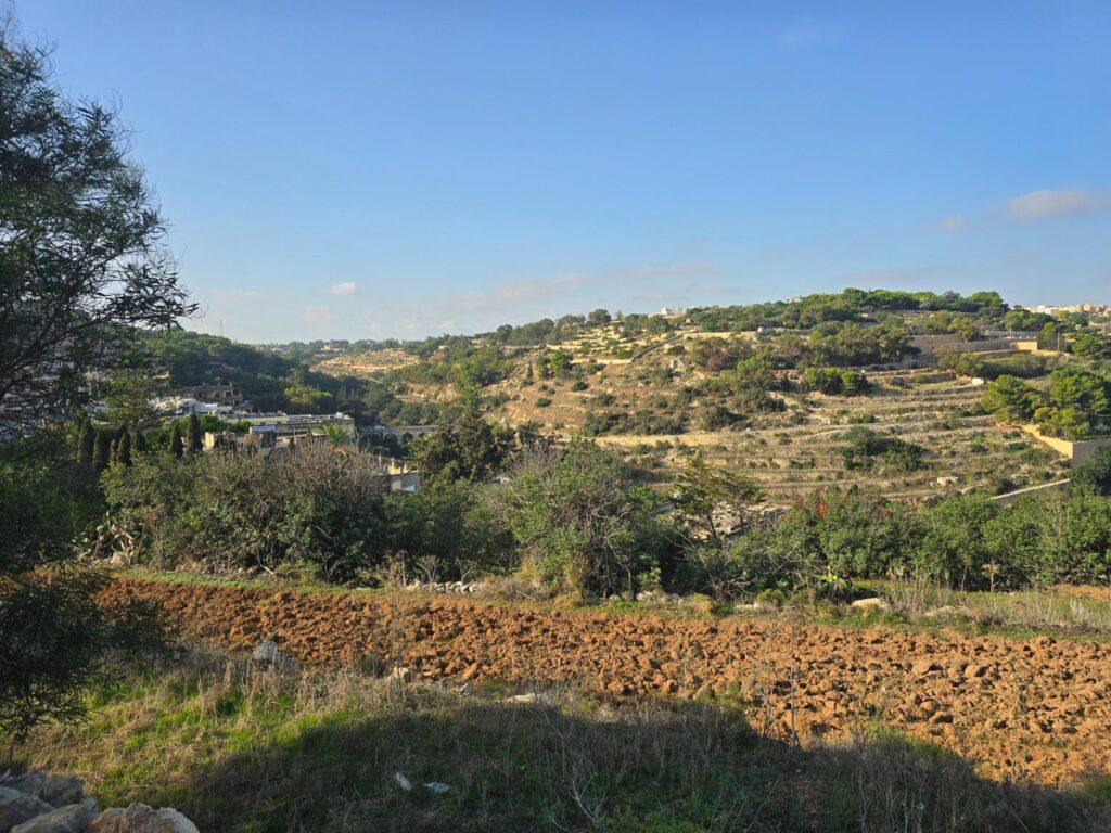
Looking across the valley. Freshly turned soil, terraces, and a glimpse of arches in the trees.
The bridge
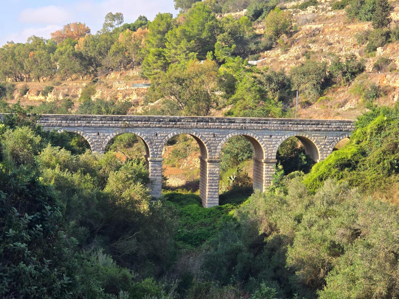
Those arches belonged to the Wied id-Dis bridge, also called the Madliena bridge, and it is a beauty. Seven limestone arches across the valley floor, built in 1880 by British military engineers to move equipment and soldiers along the Victoria Lines. Until the 1930s, soldiers on guard duty would cross it to reach Fort Madliena. These days it carries minibuses and delivery vans to Għargħur and Naxxar, and since 2025 it’s been formally scheduled as a protected landmark.
The Victorians built it to move cannons. We used it to move ourselves, considerably more slowly.
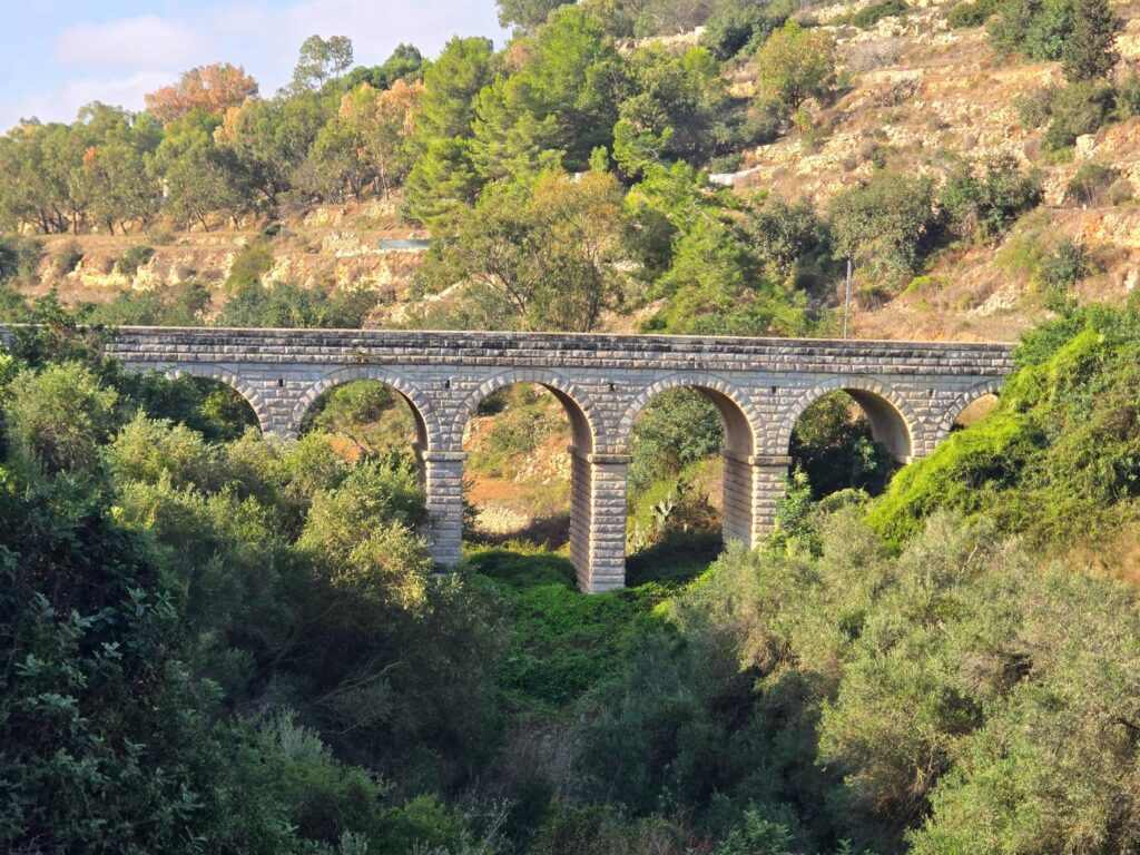
The Wied id-Dis bridge, 1880. Seven arches, lit gold by the morning sun.
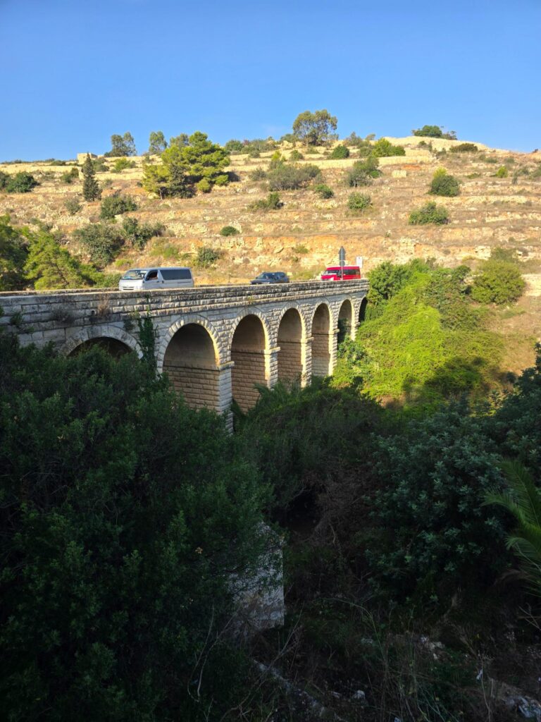
Same bridge, still on duty. A white minibus and a red van, where the soldiers used to march.
Excelsior
Over the top of the climb, a sign. Ħal-Għargħur. Merħba: welcome. And underneath the village crest, a red star over a red peak, the motto: Excelsior.
It means higher. The village sits on one of the highest hills in Malta and is clearly proud of it. Strava logged our maximum at 472 feet. Our legs would like the record to show that they agreed with the motto entirely.
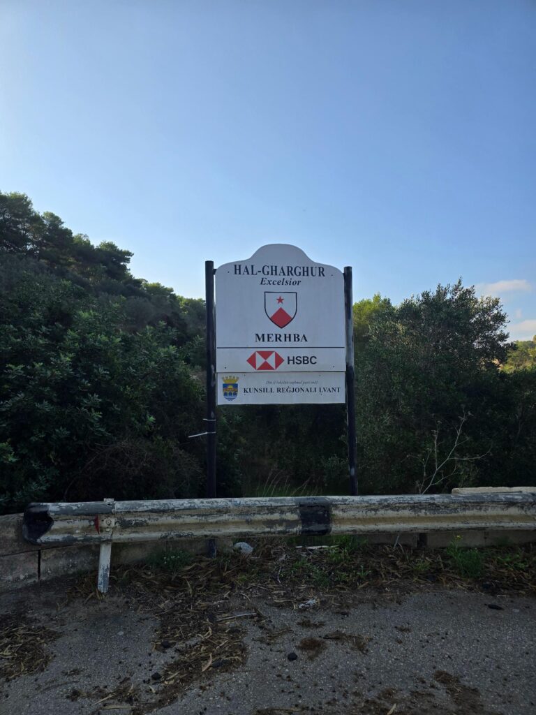
Ħal-Għargħur. Excelsior. Higher. Yes, we’d noticed.
The Chapel
Just along the road is a small chapel with worn stone steps, a round window and a Latin plaque either side of the door. It’s the Chapel of the Assumption, known locally as Taż-Żellieqa, and it comes with a legend. In 1560, so the story goes, the Virgin Mary appeared to a young woman on this spot and healed her of a serious illness, and the family built a chapel in thanks. When the apostolic visitor Pietro Dusina came through in 1575, he recorded that the woman was still alive. The plaques tell the story, if your Latin is better than ours.
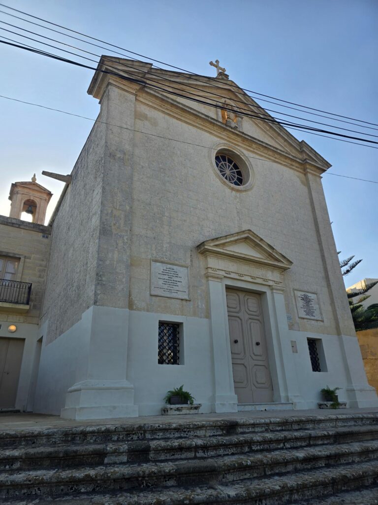
Taż-Żellieqa. A small chapel with a big story, and the Latin to prove it.
The village
Għargħur itself is small, old and quiet, the kind of village where the streets narrow as you go in and everything seems to be made of the same warm stone.
On a corner, on a carved column inside wrought iron railings, stands St Bartholomew, the village’s patron saint, with a halo and bougainvillea blazing behind him. He’s holding a knife. Bartholomew is traditionally said to have been flayed alive, and the painting behind the church’s high altar depicts his martyrdom. We decided not to ask any further and kept running.
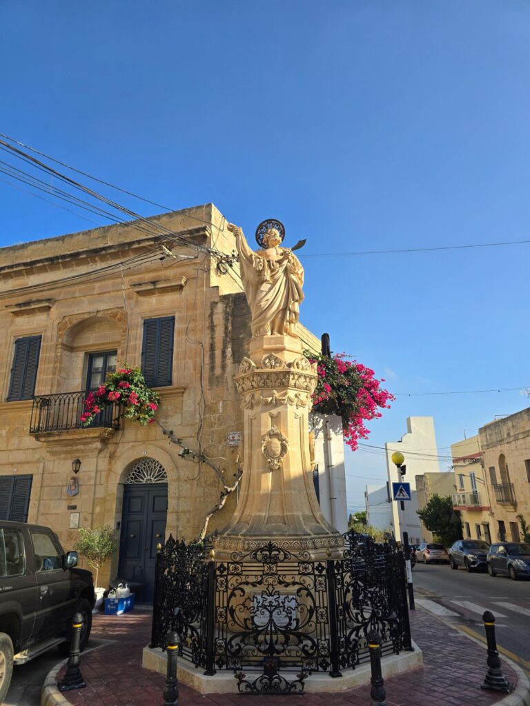
St Bartholomew, keeping watch over the corner. The knife is not decorative.
The Church
The parish church is the village’s big moment. It was built between 1610 and 1638 to designs by the Maltese architect Tumas Dingli, with the front added later, in 1743, in a different style from the interior. Two bell towers, a dome, saints in niches, clocks on both towers. The two clocks did not agree with each other. In Malta that’s traditionally on purpose, one of them there to confuse the devil about the time of Mass. We’re not sure it would have confused us, but at that point in the run it wouldn’t have taken much.
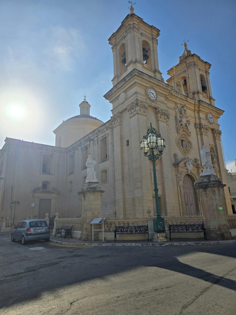
St Bartholomew’s from the side. Dome, towers, and the sun flaring straight into the lens.
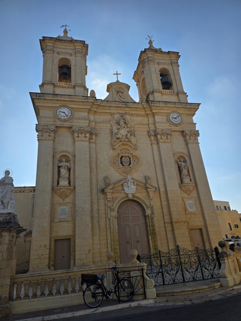
The 1743 façade. Two bell towers, two clocks, two different opinions about the time.
Then the streets.
Traditional enclosed balconies painted deep blue, wires for festa lights still slung overhead, a woman stopped in the middle of the road reading her phone with nowhere to be. An alley ending in a little courtyard with a bench, red doors, red shutters and hanging baskets. And the doors. Every one of them has a personality. A deep blue double door with lion-head knockers, a sunburst fanlight and a small Madonna tile, framed by bougainvillea. A sky-blue door covered in orange, yellow and green squares, as if someone had built it out of boiled sweets.
And, it being collection morning, a bag of recycling outside almost every one of them. Real Malta, as requested.
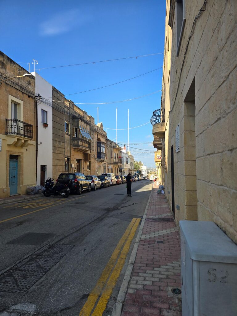
The main street. Sandstone, closed balconies, festa wires, and nobody in a hurry.
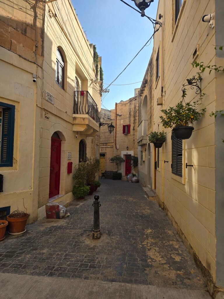
A quiet alley in Għargħur. Red doors, hanging baskets, and a bench at the end for anyone who’s earned it.
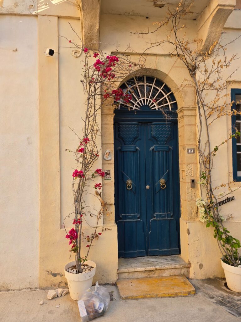
Blue door, lion knockers, sunburst fanlight. Bougainvillea doing the rest.
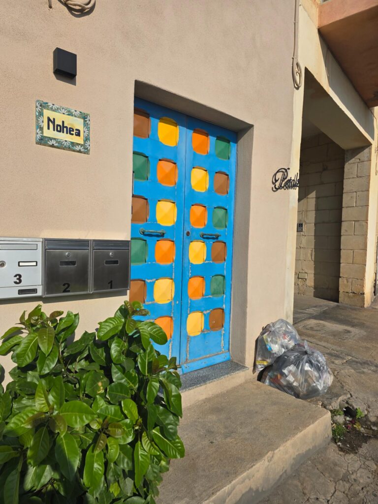
Nohea. Somebody in Għargħur had a very good morning with a paintbrush.
Back down
The way home dropped out of the village through farmland. Low rubble walls, drip irrigation lines running across the bare earth, a green shed, prickly pear, carpets of small yellow flowers, and a breeze, finally. Over the next ridge, the white apartment blocks of the coast lined up along the skyline, the other Malta, waiting for us.
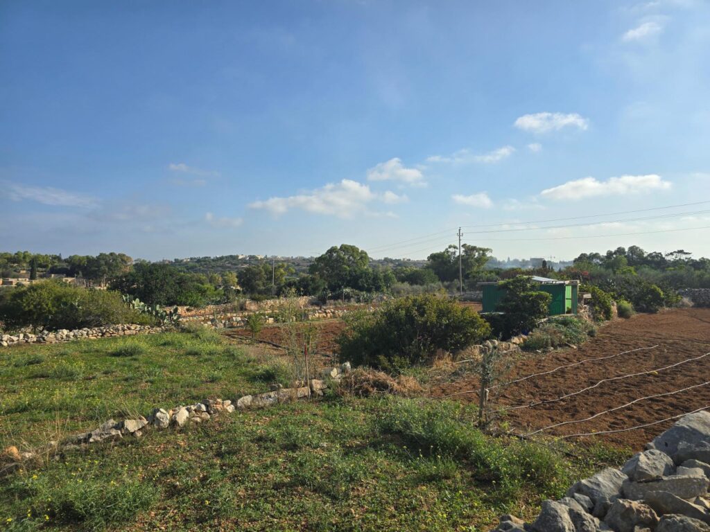
Fields on the way back. Rubble walls, irrigation lines, and the first breeze of the morning.
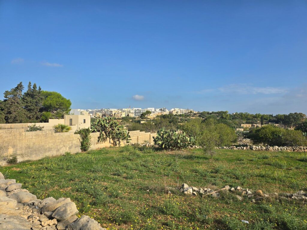
Prickly pear and the apartment blocks on the ridge. Two Maltas, one view.
The Quarry
There was an old quarry too, its cut faces gone soft and golden with weather, and the last of the open country before the houses closed back in.
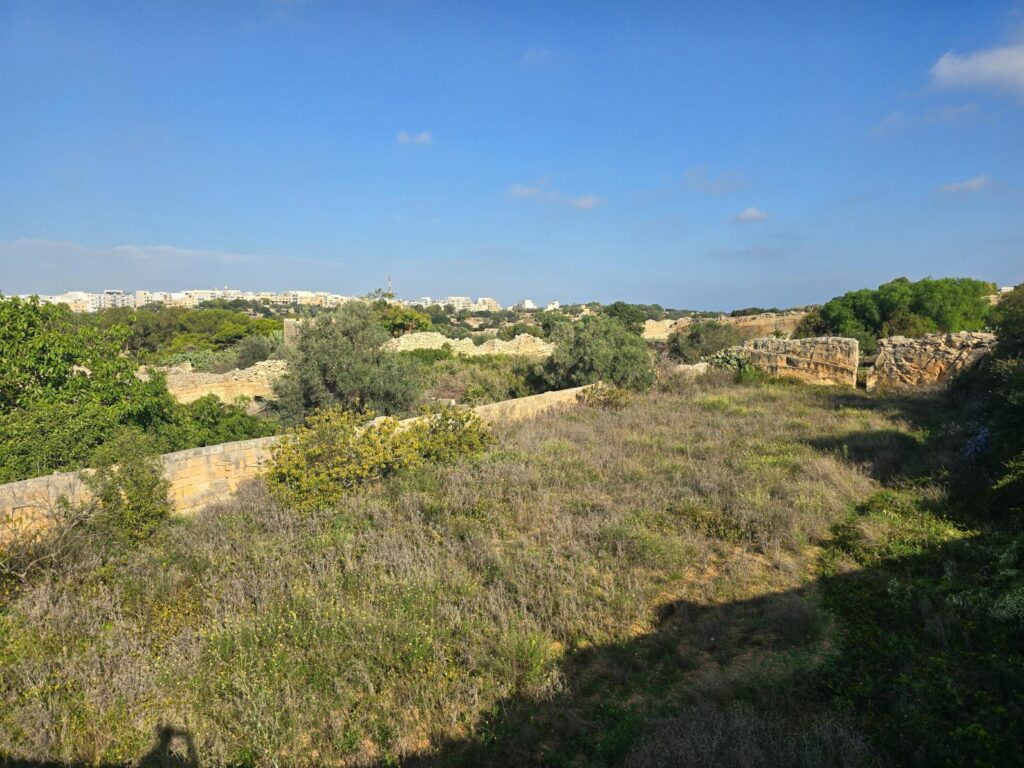
An old quarry, sliced limestone faces and scrub, with the coast beyond.
Back to Madliena.
Then a sign: Merħba. Welcome to Madliena, Swieqi. Back where we started, give or take a lot of sweat.
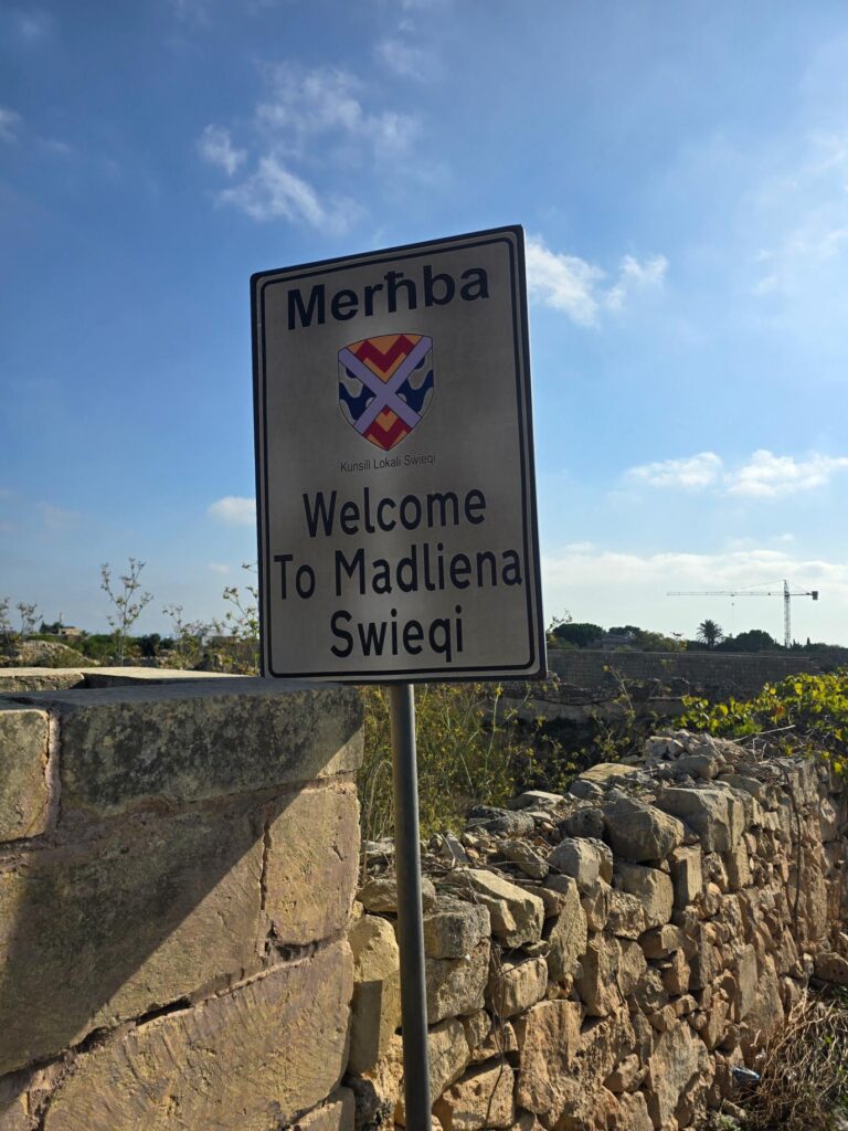
Welcome to Madliena, Swieqi. Almost home, and very much downhill from here.
Why we went early
There was a reason we got the hills done early. We were in Malta for Anjunadeep, four days of music in castle grounds, open-air clubs and boats, and we knew the running wasn’t going to happen every day. So the plan was simple: get a few honest miles in at the start, and let the dancing do the rest. It did. Strava doesn’t count dancing. It really should.
Nobody told us to run up there. That’s sort of the point.
Swieqi & Għargħur, Malta – 4.31 miles – 48m 21s – 398ft
Full resolution prints available.