
Route G takes us out of Bridport for the first time. It’s a short drive — twenty minutes on the A35 past Chideock, brown NT signs, single-track road at the end — but worth the trip. Langdon Hill is an ancient woodland managed by the National Trust, all gravel track now, and the loop is as clean and simple as a TOL route gets.
Three laps. One very good viewpoint. Zero mud.
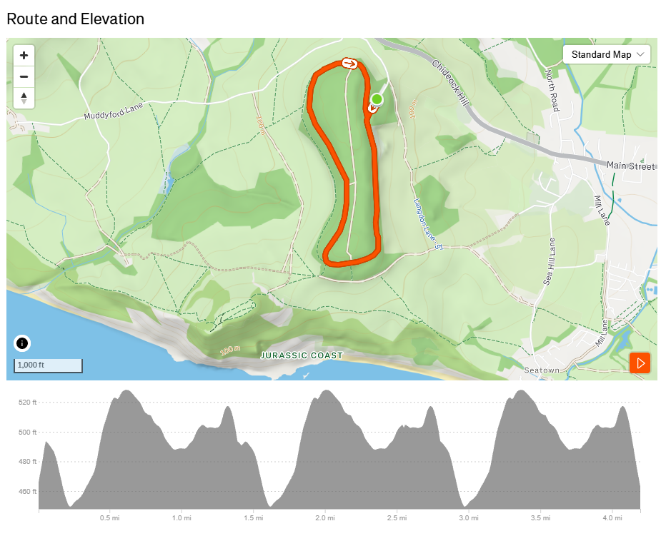
TOL Route G — the Strava map. Three laps of the Langdon Hill loop. Start and finish at the NT car park.
The Route
Start and finish at the Langdon Hill National Trust car park off Pettycrate Lane. NT pay and display — bring change or the RingGo app.
The loop is 1.3 miles of wide gravel path through ancient beech woodland. It’s signed throughout — you won’t need navigation — and the NT has done a proper job on the surface. Trail shoes are fine; this is not a mud route.
Three laps gets you to just over 4 miles with 352ft of elevation spread across the circuit. There’s a steady climb on the west side of the loop, a flatter section through the upper wood, and a gentle descent back to the car park. Nothing technical, nothing sharp.
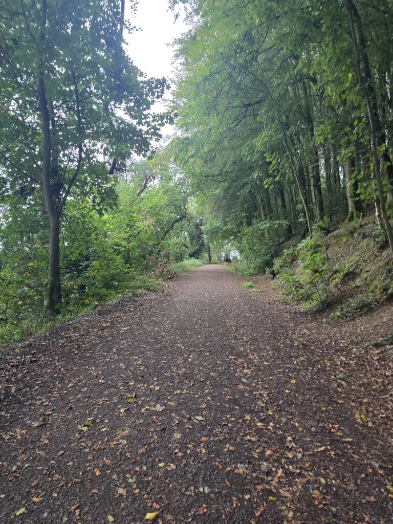
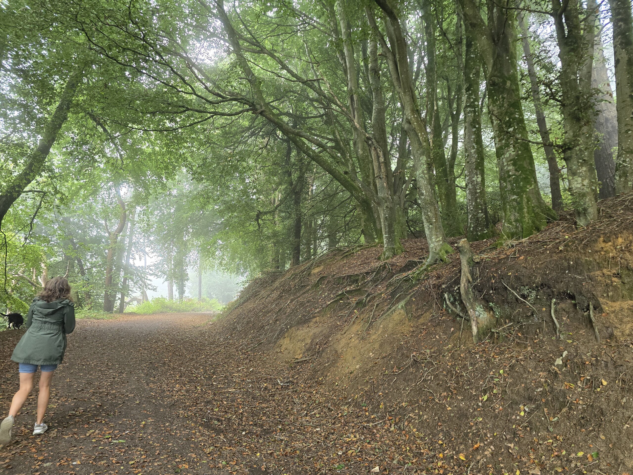
The main path through the beech wood — wide, well-surfaced, and properly atmospheric in any season.
What to Expect
Ancient woodland. Exposed roots on the off-path edges (keep to the gravel). Beech canopy that closes right over you on the upper section. A viewpoint bench roughly halfway round — the south-facing gap in the trees with a sea view toward Chesil Beach. Two strangers will probably already be sitting on it.
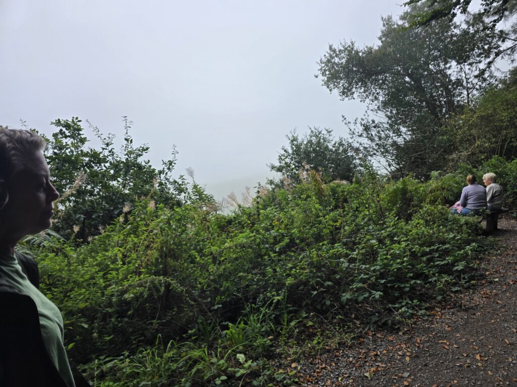
The viewpoint bench — the sea visible on a clear day, worth stopping for on every lap.
On a clear day the view is the reason to be here. On a foggy day it’s different and also excellent.
The NT has interpretation panels on a stone wall at one of the junctions — wildlife spotters, family challenge, the usual. Worth a look on the first lap, easy to walk past on laps two and three.
The junction signpost — Langdon Wood Walk straight on, Coast Path and Golden Cap to the left. Diversion options clearly signed.
The Options
After three laps, two signed diversions are available for anyone who wants more:
- Golden Cap — highest point on the south coast. The signed path leaves from the top of the loop. Not a short addition.
- Seatown — 1¼ miles from the junction. The Anchor pub is there. Draw your own conclusions.
Both are waymarked from the main loop. We’ll run them as a proper extension session once we’ve got the core route established.
Getting There
Langdon Hill NT Car Park, Chideock. Off the A35 — follow the brown National Trust signs. The last section is single-track, fine in a normal car, slow down. 4.0 miles from Bridport town centre by road.
Parking: National Trust pay and display. NT members free.
Terrain: 97% unpaved. Gravel throughout. No technical sections. Suitable for trail shoes or road shoes with grip.
Dogs: Yes. Other walkers’ dogs will be present on every lap. Nellie has assessed the situation and approved the route.
Route Stats
| Stats | Figures |
|---|---|
| Distance | 4.19 miles (3 × 1.3-mile loop) |
| Elevation | 352ft |
| Surface | Gravel (97% unpaved) |
| Rating | Easy |
| Estimated time | 34–48 minutes |
| Strava route | TOL Route G — Langdon Woods Loop — 3 Laps |