
We had to drive to get there, which is worth saying upfront. Most of what we do for Thinking Out Loud Runners starts from East Street — ten minutes on foot and you’re already somewhere interesting. Langdon Hill is different. It’s a twenty-minute drive from Bridport, just past Chideock, a small brown sign off the A35, a single-track road that gets a bit optimistic toward the end. But it arrives somewhere worth arriving at.
We went on a Sunday morning with the dog, as a recce. Fog all the way in. The kind of fog that makes Dorset look like it was designed by someone with a flair for atmosphere.
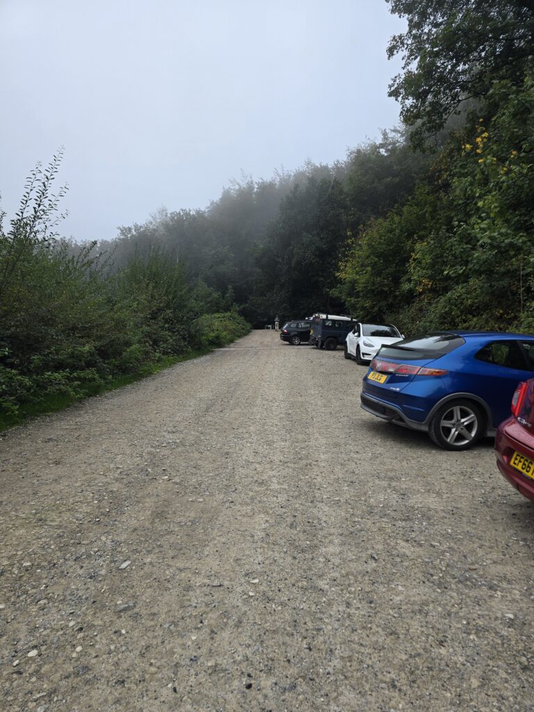
The car park at Langdon Hill in September fog — the walk starts here.
What the National Trust has done to it
The last time we were here, this was a mud problem. Not bad mud — Dorset mud, which is its own category — but the kind of underfoot that means you’re making decisions about footwear before you’ve even started.
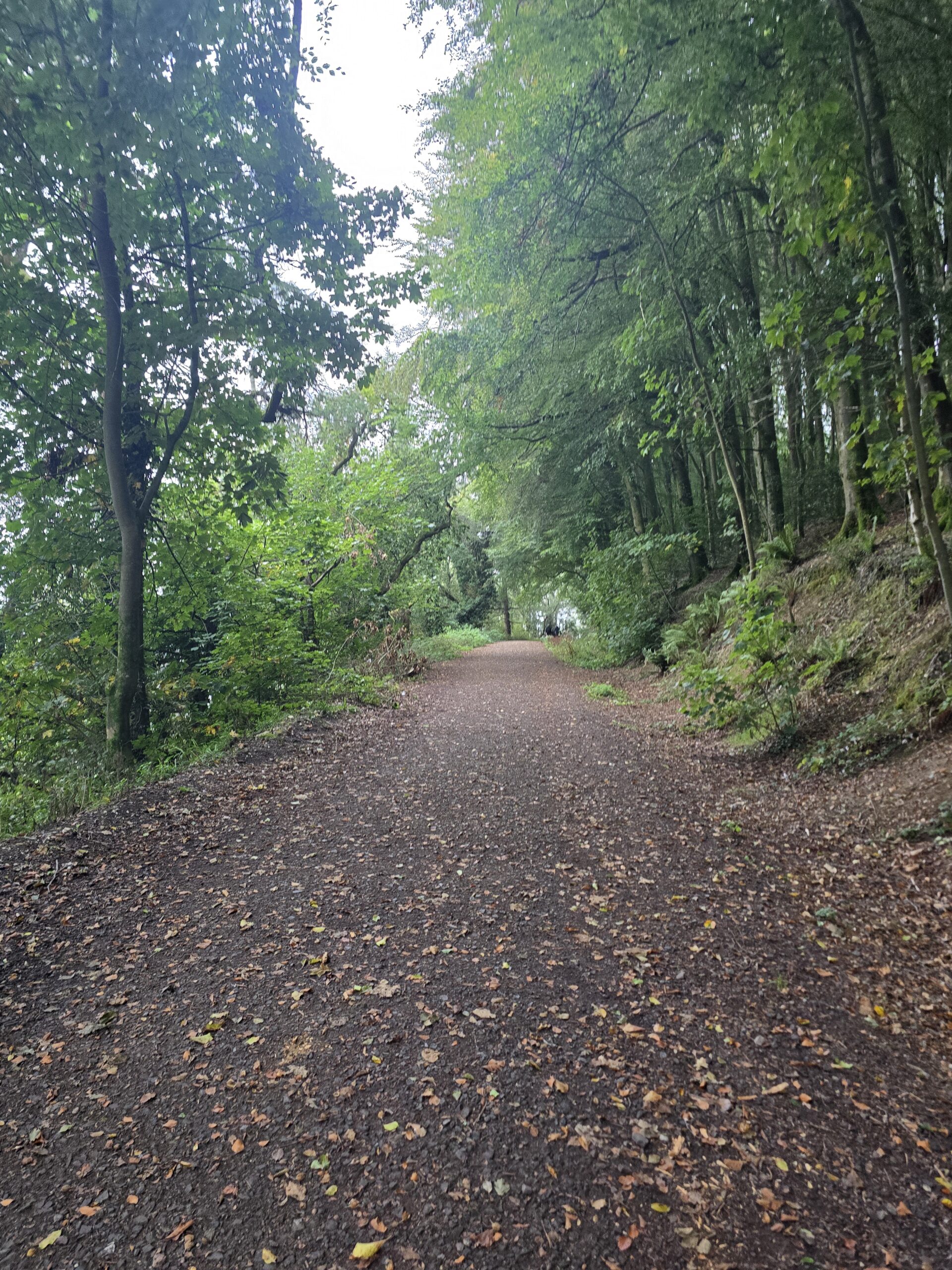
That’s been fixed. The National Trust has put gravel down on the entire loop. Proper wide gravel track, not an afterthought — the kind you’d trust on a wet January morning in trail shoes without a second thought. The loop itself is clean and clear. The signage is good. There’s an NT information board at the entrance with a pay machine for parking, and a stretch of three interpretation panels on a stone wall further round — wildlife spotters, family challenge, the works.
For a group walk, that matters. Nobody needs to be navigating knee-deep through Dorset clay when they’re already working up to the idea of coming out with strangers on a Sunday morning.
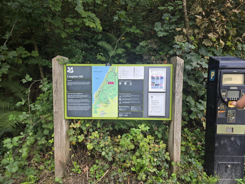
The NT signage at the start — practical, clear, and quietly reassuring if you’ve never been.
The woodland
Langdon Hill is old woodland. Beech, mostly. The kind of tree that looks like it’s been there for an uncomfortable amount of time and is perfectly content about it. The path winds through with a canopy that closes right over you in places — on a grey September morning with the mist sitting in the branches, it was properly atmospheric. In a good way. The kind of thing you’d want to share.
There are exposed roots. Ferns. Moss on everything. We spotted fungus growing off a dead trunk at just the right angle for a photo and spent a minute longer there than was strictly necessary. Autumn had just started suggesting itself — a few leaves down, the light beginning to change. Come October this is going to be extraordinary.
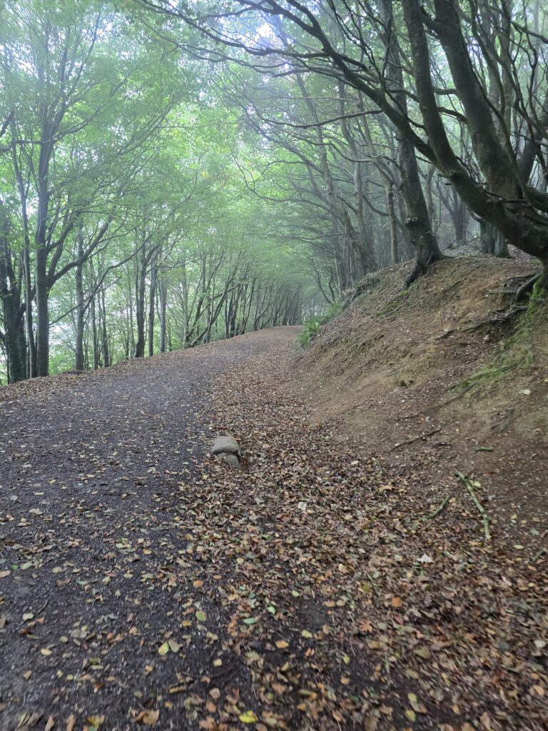
The beech tunnel — where the canopy closes over the path. This is the kind of shot you wait for.
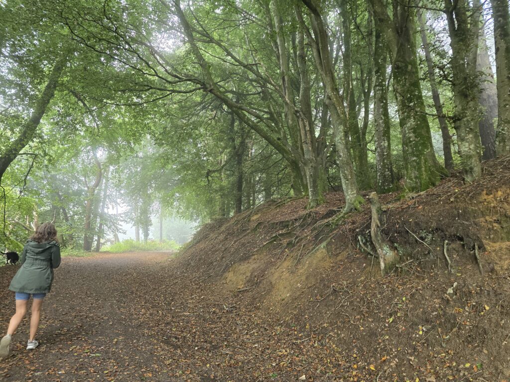
October is going to be a different walk entirely.
The viewpoint
Halfway round there’s a bench. Or rather — halfway round there’s a gap in the trees where the ground drops away to the south, and someone had the good sense to put a bench there.
We were expecting the bench. We were not quite expecting what was behind it.
Dorset coastline, maybe two miles south. The sea. Chesil Beach, or what would be Chesil Beach if you could actually see it, which on this particular morning you couldn’t — the fog had swallowed everything below the tree line and left the sea as a grey suggestion and the cliffs as something you could feel more than see.
Two strangers were already sitting on the bench when we got there. Nobody said anything. Everyone just looked at the same view.
It was one of those moments that earns the walk.
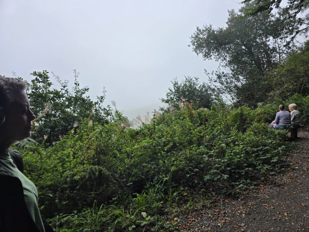
Sarah at the viewpoint bench — the sea barely visible through the fog, and somehow better for it.
The diversions
This is where it gets interesting for what we’re planning.
There are two signed diversions off the main loop. The first is a wooden finger post pointing toward the Coast Path and Golden Cap — the highest point on the south coast of England, if you didn’t know. The second is a post that says Seatown 1¼, which if you’ve ever had a pint at the Anchor in Seatown you will immediately understand the significance of.
Both were clearly signed and clearly maintained. Neither goes on the main loop — they’re options. Additions. Extensions for a group that wants more, or a day where the conditions are right and nobody’s in a hurry.
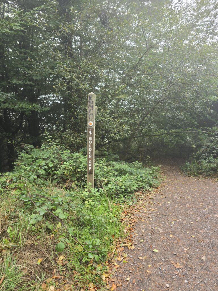
The Golden Cap sign — an option for a longer day when the group is up for it.
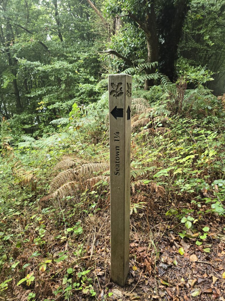
Seatown 1¼ miles. You know what that means.
Nellie’s assessment
Thorough. Enthusiastic. Supportive of the gravel improvements. She had strong opinions about the gate at the top of the path, which she communicated via a pause that said are you sure about this? before going through anyway. There were other dogs. Exchanges were civil.
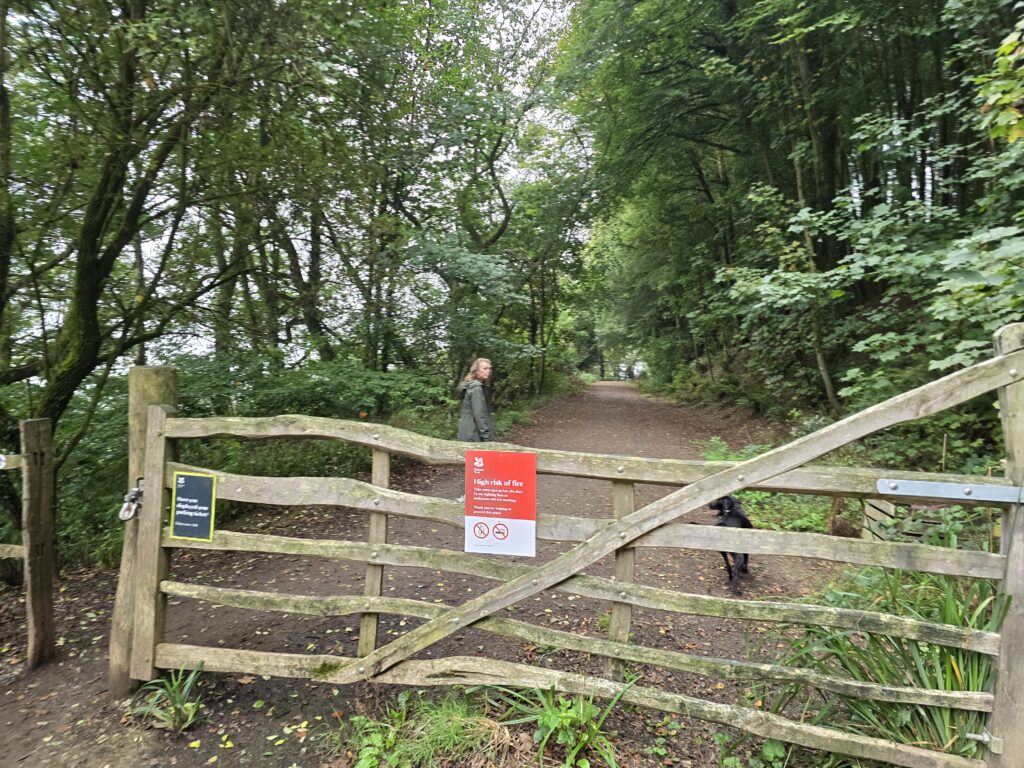
Nellie and Sarah at the five-bar gate — other walkers doing the same loop just ahead.
What we’re thinking for TOL
The core loop is 1.3 miles. A clean, gravel, clearly signed circuit through ancient woodland with a sea view. No navigation required.
Three laps is a session. Just under 4 miles, 700-odd feet of elevation if you do it properly, and you’re back at the car park without anyone having to think about where they are. For a group that might include people who haven’t done much walking recently, that structure matters — you can stop after one lap if you want, or keep going if the mood takes you.
The longer options are already signed. Golden Cap. Seatown. Coast Path. On a day when the group is ready for more, you don’t need to plan anything new — the signs are already there.
We’re going back next Sunday with Sarah to walk all three: the full Langdon loop, then down to Seatown, then up to Golden Cap. There may be a pub in Chideock or Seatown involved at some point in the afternoon, which is, in our view, a legitimate route-planning tool.
We’ll report back.
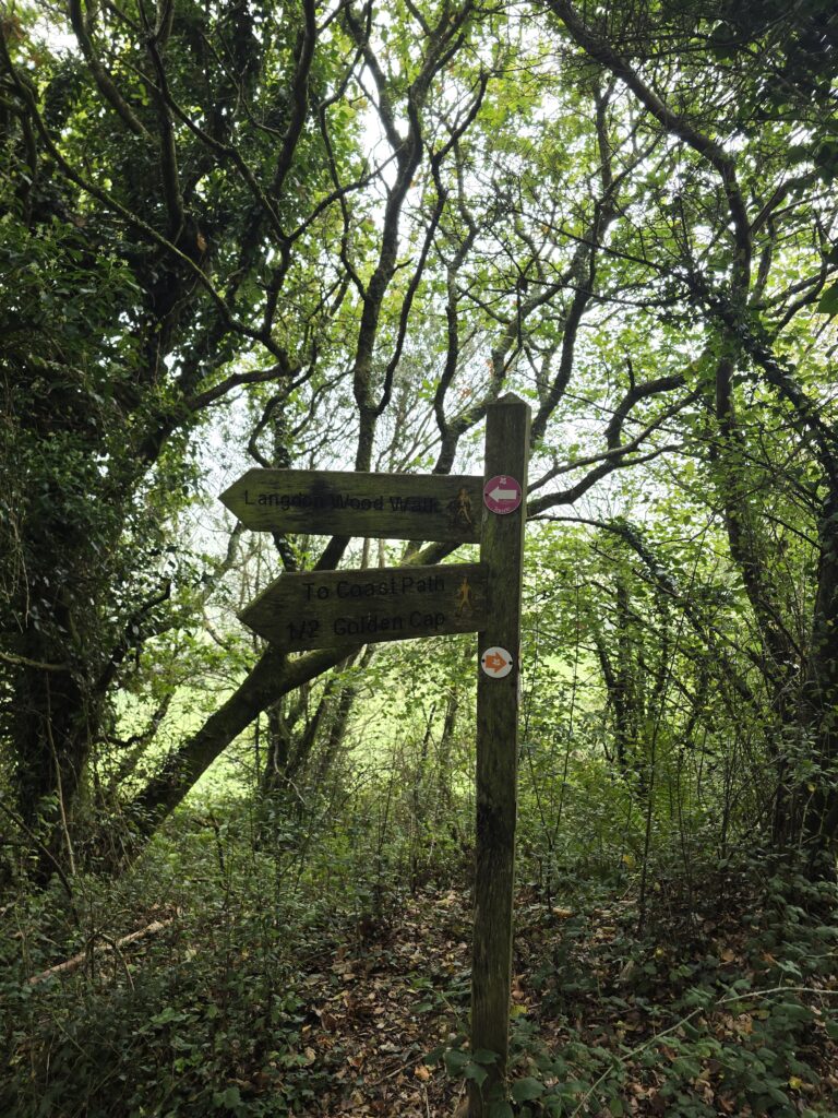
The Langdon Wood Walk sign at the junction — the route options laid out clearly.
Getting there
Langdon Hill car park — just off the A35 past Chideock toward Charmouth. National Trust pay and display. Follow the brown signs. Single-track road at the end — fine, just slow down.